Sherman in Grayson County, Texas — The American South (West South Central)
Grayson County Poor Farm
Photographed by James Hulse, December 30, 2024
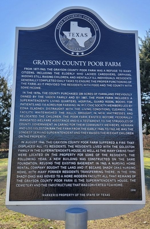
1. Grayson County Poor Farm Marker
In the 1870s, the county purchased 220 acres of farmland previously owned by the Vaden family and by 1887, the Poor Farm included a superintendent's living quarters, hospital, guard room, rooms for patients and 110 acres for farming. In 1917, civic society members led by Edna Gladney, distraught with the living conditions, cleaned the facility, whitewashed the walls, brought in new mattresses and relocated the children. The Poor Farm existed before federally-mandated welfare assistance and is a testament to the struggles of county government in caring for their community members. Herman and Lois Goldston ran the farm from the early 1940s to 1962. He was the longest-serving superintendent and they raised their eight children on the property,
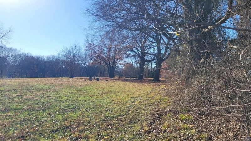
In August 1946, the Grayson County Poor Farm suffered a fire that displaced all its residents. The residents lived with the Goldston family in the superintendent's house, as well as the many cabins that were located on the property for some of the residents. The following year, a new building was constructed on the same foundation, reusing the existing basement. In 1965, a nursing home rental company bought the land and it became Shady Oaks Nursing Home, with many former residents transferring there. In the 1970s Shady Oaks was moved to a more modern facility. All that remains of the Grayson County Poor Farm is the superintendent's house, the cemetery and the 1949 structure that was converted to a home.
Erected 2018
this page online
Topics. This historical marker is listed in this topic list: Charity & Public Work. A significant historical month for this entry is August 1946.
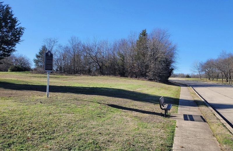
Location. 33° 39.715′ N, 96° 38.83′ W. Marker is in Sherman, Texas, in Grayson County. It is on Canyon Creek Drive west of Silverado Trail, on the left when traveling west. The marker is located along the street in the subdivision. Touch for map. Marker is at or near this postal address: 3087 Canyon Creek Dr, Sherman TX 75092, United States of America. Touch for directions.

Regionally, this marker is in the Prairies & Lakes Region. It is also in the American South. Globally, it is in North America, a Gulf of Mexico state, the Western Hemisphere, the Western World, and the Anglosphere. Historically, it finds itself in what was once New Spain, the Republic of Texas, one of the Confederate States of America, and the Antebellum South.
Other nearby markers. At least 8 other markers are within 3 miles of this marker, measured as the crow flies: Travis Lodge No.117, A.F. & A.M. (approx. 1.8 miles away); Captain N.A. Birge House (approx.
Photographed by James Hulse, December 30, 2024
2. The view of the Grayson County Poor Farm Marker along the road
Photographed by James Hulse, December 30, 2024
3. A section of the Grayson County Poor Farm and old cemetery
Credits. This page was last revised on January 2, 2025. It was originally submitted on January 2, 2025, by James Hulse of Medina, Texas. This page has been viewed 888 times since then and 222 times this year. Photos: 1, 2, 3. submitted on January 2, 2025, by James Hulse of Medina, Texas.
