Danville, Virginia — The American South (Mid-Atlantic)
Riverside Cotton Mills
Number Six Mill

Photographed by C. Ryan Dodson, January 1, 2025
1. Riverside Cotton Mills Marker
In 1882, a group of six local businessmen formed Riverside Cotton Mills. A dozen years later, a flourishing business required the construction of Number Six Mill that once occupied this site. When production of cloth began in 1895, this five-story structure along with the company's earlier facilities was operating more spindles than any other cotton mill in the South. Carding was performed on the second and third floors with warping and spooling on the first floor. Spinning operations with 20,000 spindles filled the top two floors. Power for these operations came from 7 hydro-electric turbine/generators beneath the building each producing 180 horsepower. Water impounded by a new 400 foot diagonal dam a short distance upstream travelled down a new canal to rotate the turbines.
In 1923, the construction of an addition to the mill doubled the floor space and provided room for the storage, opening and breaking of cotton bales. Number Six Mill then filled the entire area along the north side of the river between the Main Street and Worsham Street bridges. That same year, with the conversion to coal-fired electrical power,
this page online
Atop the mill housed beneath a decorative roof topped with a weather vane, a large brass bell alerted workers when it was time to begin their shift. During World War Two, with a shortage of metal, the mill patriotically donated the bell as scrap metal to support the war effort. Dismantled in 1995 after a century of cloth production, portions of the block-long mill found new uses in buildings across the Nation with the distribution of its massive timbers, beams, and bricks.
Erected by City of Danville.
Topics. This historical marker is listed in this topic list: Industry & Commerce. A significant historical year for this entry is 1895.
Location. 36° 35.4′ N, 79° 23.12′ W. Marker is in Danville, Virginia. It is on River Street (U.S. 360) 0.2 miles east of Main Street, on the right when traveling east. This Marker is located along the Riverwalk Trail between the YMCA and Crossing at the Dan Trailheads. Touch for map. Marker is at or near this postal address:
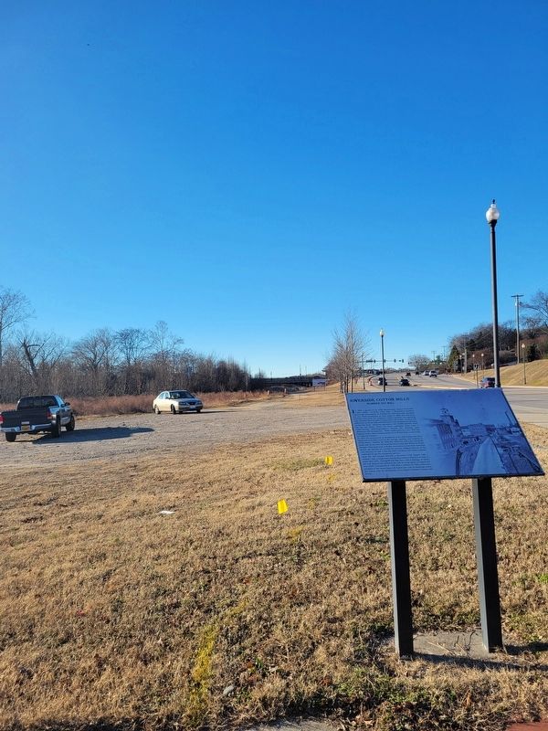
Photographed by C. Ryan Dodson, January 1, 2025
2. Riverside Cotton Mills Marker

Regionally, this marker is in Southside Virginia and specifically in Central Virginia. It is also in the American South and specifically in the Upper South. Globally, it is in North America, the Western Hemisphere, the Western World, and the Anglosphere. Historically, it finds itself in what was once the territory of the Mississippian Culture, one of the original Thirteen Colonies, one of the Confederate States of America, and the Antebellum South.
Other nearby markers. At least 8 other markers are within walking distance of this marker: Rev. Dr. Martin Luther King, Jr. (approx. 0.2 miles away); The Worsham Street Bridge (approx. 0.2 miles away); The Garden Club of Danville's Centennial (approx. 0.2 miles away); Dan River Inc. Mills (approx. ¼ mile away); Wynne's Falls (approx. ¼ mile away); The Dan River (approx. ¼ mile away); a different marker also named Riverside Cotton Mills (approx. ¼ mile away); Early Settlement of Danville (approx. ¼ mile away). Touch for a list and map of all markers in Danville.
Another marker is no longer

Photographed by C. Ryan Dodson, November 5, 2024
3. Riverside Cotton Mills Marker
Credits. This page was last revised on January 4, 2025. It was originally submitted on January 3, 2025, by C. Ryan Dodson of Danville, Virginia. This page has been viewed 206 times since then and 34 times this year. Photos: 1, 2, 3. submitted on January 3, 2025, by C. Ryan Dodson of Danville, Virginia. • Bernard Fisher was the editor who published this page.
