Old San Leandro in Alameda County, California — The American West (Pacific Coastal)
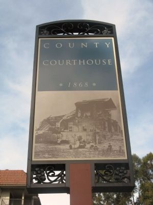
County Courthouse
1868
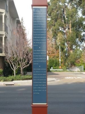
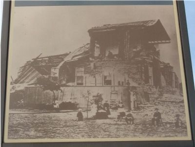
A major earthquake on the Hayward Fault on October 21, 1868, destroyed the courthouse. Deputy County Clerk J.W. Josselyn was killed, and four prisoners had to be rescued from the basement jail.
After the earthquake, county business was conducted in a nearby Methodist Church until a temporary courthouse was constructed. An election in 1873 moved the county seat from San Leandro to Oakland. St. Leander’s Church bought the property in 1880 and established St. Mary’s School in the court building.
Erected by City of San Leandro.
Topics. This historical marker is listed in this topic list: Government & Politics. A significant historical date for this entry is October 21, 1868.
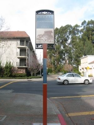
Location. 37° 43.483′ N, 122° 9.552′ W. Marker is in San Leandro, California, in Alameda County. It is in Old San Leandro. Marker is at the intersection of Davis Street (State Highway 61/112) and Clarke Street, on the right when traveling east on Davis Street. Touch for map. Marker is in this post office area: San Leandro CA 94577, United States of America. Touch for directions.
Other nearby markers. At least 8 other markers are within walking distance of this marker. San Leandro Courthouse Site (here, next to this marker); The Little Brown Church (within shouting distance of this marker); Casa Peralta (about 300 feet away, measured in a direct line); San Leandro – Cherry Festivals (about 300 feet away); Historic Daniel & Meta Best Home (about 400 feet away); San Leandro – Industry (about 500 feet away); Estudillo Home (about 500 feet away); Rancho San Antonio (approx. 0.2 miles away). Touch for a list and map of all markers in San Leandro.
More about this marker. Marker is mounted on a pole on the southwest corner.
Credits. This page was last revised on February 7, 2023. It was originally submitted on January 13, 2010, by Syd Whittle of Mesa, Arizona. This page has been viewed 1,099 times since then and 14 times this year. Photos: 1, 2, 3, 4. submitted on January 13, 2010, by Syd Whittle of Mesa, Arizona.


