Near Cottonwood in Coal County, Oklahoma — The American South (West South Central)
John O. Linton Bridge
Photographed by Jason Armstrong, August 12, 2023
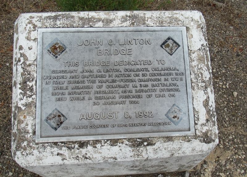
1. John O. Linton Bridge Marker
This bridge dedicated to Sergeant John O. Linton, Coalgate, Oklahoma, wounded and captured in action on 30 December 1943 in Italy during the Naples-Foggia Campaign in WWII while member of Company M, 3rd Battalion, 180th Infantry Regiment, 45th, Infantry Division. Died while a German prisoner of war on 20 January 1944
August 8, 1992
This plaque courtesy of 180th Infantry Association
Erected 1992 by 180th Infantry Association.
Topics. This memorial is listed in these topic lists: Bridges & Viaducts • Patriots & Patriotism • War, World II.
Location. 34° 34.273′ N, 96° 11.082′ W. Memorial is near Cottonwood, Oklahoma, in Coal County. It is on Oklahoma 31 ¾ mile east of Old 75 Road, on the left when traveling west. Touch for map. Memorial is in this post office area: Coalgate OK 74538, United States of America. Touch for directions.

Regionally, this memorial is in the Chickasaw Nation, specifically in the Choctaw Nation, and in Southeast Oklahoma—Choctaw Country. It is also in the American South, specifically on the prairies, and on the Southern
this page online
Other nearby markers. At least 8 other markers are within 14 miles of this marker, measured as the crow flies: Courthouse (approx. 3 miles away); Stringtown Shootout (approx. 10.3 miles away); Site Inundated Geary's Station (approx. 10.4 miles away); Historic Butterfield Trail in Indian Territory (approx. 12½ miles away); Middle Boggy Battle (approx. 12½ miles away); Vietnam War Memorial (approx. 13.3 miles away); Captain Atoka (approx. 13.3 miles away); 45th Infantry Division Memorial Highway (approx. 13.3 miles away).
Photographed by Jason Armstrong, August 12, 2023
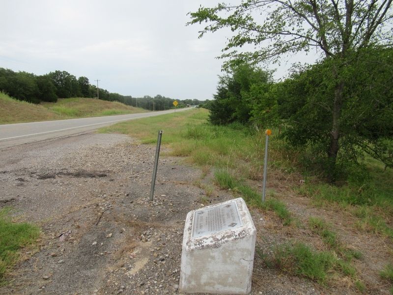
2. Looking east of Marker.
Photographed by Jason Armstrong, August 12, 2023
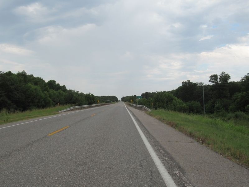
3. Looking West at Bridge
Credits. This page was last revised on January 18, 2025. It was originally submitted on January 4, 2025, by Jason Armstrong of Talihina, Oklahoma. This page has been viewed 149 times since then and 26 times this year. Photos: 1, 2, 3. submitted on January 4, 2025, by Jason Armstrong of Talihina, Oklahoma. • J. Makali Bruton was the editor who published this page.
