Fleming Island in Clay County, Florida — The American South (South Atlantic)
Hibernia
Photographed by Tim Fillmon, December 30, 2024
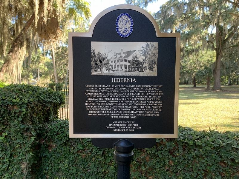
1. Hibernia Marker
George Fleming and his wife Sophia Fatio established the first lasting settlement on Fleming Island in 1796. George was eventually given a Spanish Land Grant of 1000 acres which he named Hibernia for his homeland of Ireland. Son Lewis Fleming and his wife Margaret Seton built the “Big House” in 1858, to serve as the family home and a popular winter resort for almost a century. Visitors arrived by steamboat and enjoyed hunting, fishing, lawn tennis, golf and swimming. A bathhouse was built circa 1885 along with an artesian fed pool, possibly the oldest working pool in Florida. The “Big House” survives through the bricks, beams, doors, heart pine floors and 400 window panes lovingly integrated into the structure of the current home.
Erected 2024 by Hannah Dustin Chapter Colonial Dames XVII Century.
Topics. This historical marker is listed in these topic lists: Architecture • Settlements & Settlers. A significant historical year for this entry is 1796.
Location. 30° 3.968′ N, 81° 41.817′ W. Marker is on Fleming Island, Florida, in Clay County. It is on Old Church Road 0.1 miles east of Pine Avenue, on the right when
this page online

Regionally, this marker is in First Coast and in Greater Jacksonville. It is also in the American South. Globally, it is in the North Atlantic Region, North America, a Gulf of Mexico state, the Western Hemisphere, the Western World, and the Anglosphere. Historically, it finds itself in what was once New Spain, the territory of the Mississippian Culture, one of the Confederate States of America, and the Antebellum South.
Other nearby markers. At least 8 other markers are within 3 miles of this marker, measured as the crow flies: St. Margaret's Episcopal Church and Cemetery (about 400 feet away, measured in a direct line); William Bartram Trail (approx. 1.9 miles away); Camp Chowenwaw (approx. 2.1 miles away); William Bartram Scenic Highway (approx. 2.3 miles away); History of Alpine Groves Park (approx. 2.8 miles away); a different marker also named History of Alpine Groves Park (approx. 2.9 miles away); Alpine Groves (approx. 3 miles away); St. Johns County / New Switzerland Plantation
Photographed by Tim Fillmon, December 30, 2024
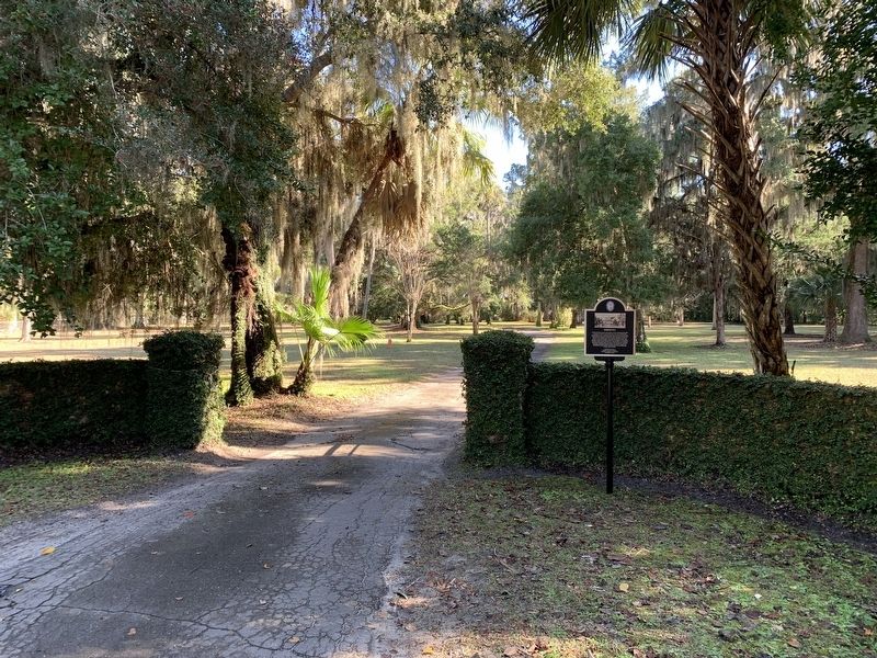
2. Hibernia Marker
Another marker is no longer nearby. Lynyrd Skynyrd Hell House Site (was approx. 2.6 miles away but has been confirmed missing).
Credits. This page was last revised on January 8, 2025. It was originally submitted on January 8, 2025, by Tim Fillmon of Webster, Florida. This page has been viewed 2,382 times since then and 1,018 times this year. Photos: 1, 2. submitted on January 8, 2025, by Tim Fillmon of Webster, Florida.
