Altstadt in Koblenz, Rhineland-Palatinate, Germany — Central Europe
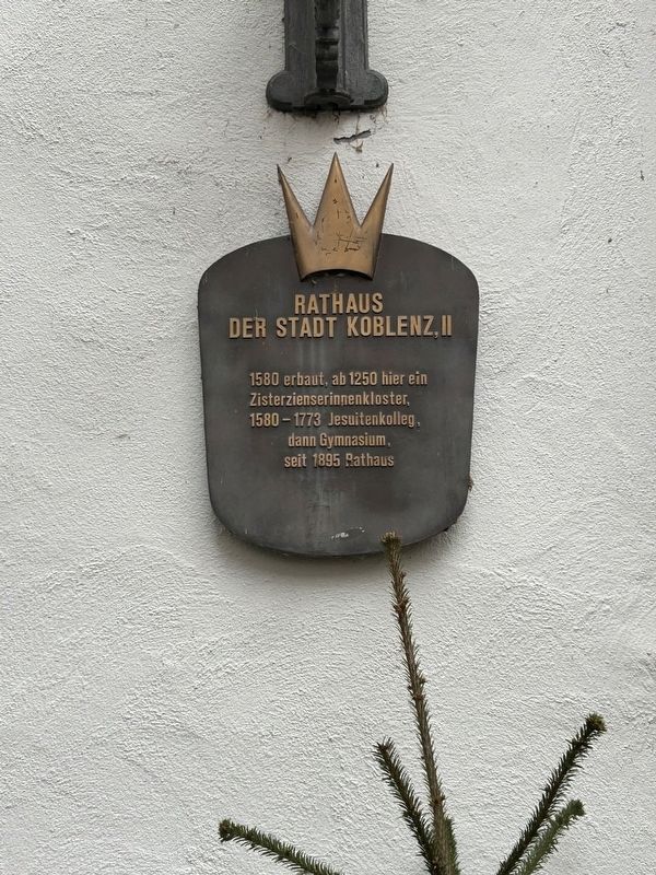
Rathaus der Stadt Koblenz, II
Photographed by Steve Stoessel, December 16, 2024
1. Rathaus der Stadt Koblenz, II Marker
1580 erbaut, ab 1250 hier ein Zisterzienserinnenkloster,
1580 - 1773 Jesuitenkolleg: dann Gymnasium, seit 1895 Rathaus
Built in 1580 on a Cistercian monastery [dating] from 1250,
1580 - 1773 Jesuit college then grammar school,
since 1895 town hall
Topics. This historical marker is listed in these topic lists: Charity & Public Work • Education • Religion & Religious Structures. A significant historical year for this entry is 1580.
Location. 50° 21.615′ N, 7° 35.89′ E. Marker is in Koblenz, Rheinland-Pfalz (Rhineland-Palatinate). It is in Altstadt. It is on Willi-Hörter-Platz. Touch for map. Marker is at or near this postal address: Willi-Hörter-Platz 7, Koblenz RP 56068, Germany. Touch for directions.

Regionally, this marker is in the German Rhineland, in the Upper Middle Rhine Valley, and specifically in the Moselle Valley. Globally, it is in Europe, the European Union, Atlantic Europe, Central Europe, the Schengen Area, Western Europe, and the Western World. Historically, it finds itself in what was once the Roman Empire, the Holy Roman Empire, and the former West Germany.
Other nearby markers. At
this page online
Also see . . . Jesuit Place in Koblenz. (Submitted on January 14, 2025, by Steve Stoessel of Niskayuna, New York.)
Photographed by Steve Stoessel, December 16, 2024
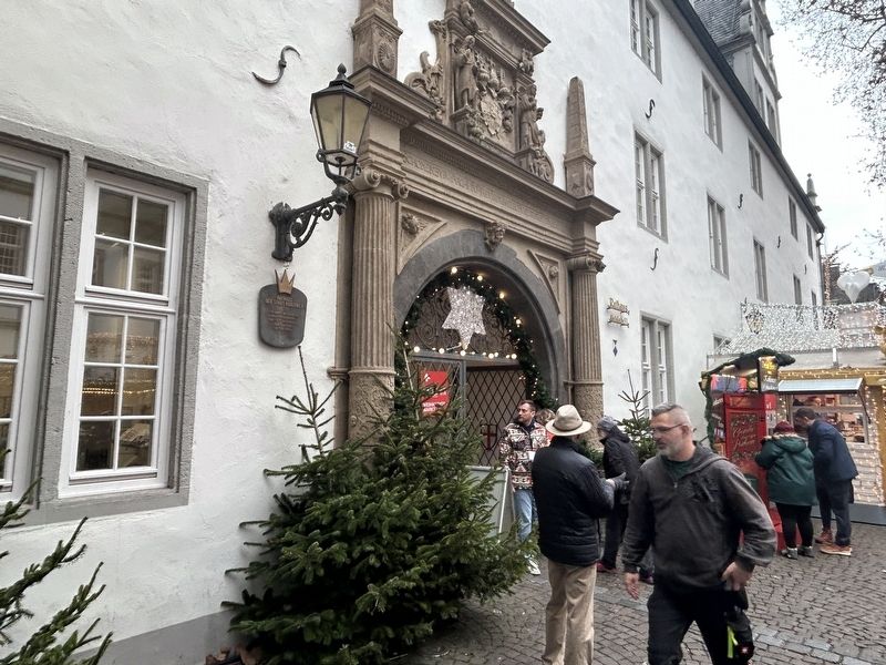
2. Rathaus der Stadt Koblenz, II Marker
Credits. This page was last revised on January 14, 2025. It was originally submitted on January 13, 2025, by Steve Stoessel of Niskayuna, New York. This page has been viewed 101 times since then and 19 times this year. Photos: 1, 2. submitted on January 13, 2025, by Steve Stoessel of Niskayuna, New York.
