Altstadt in Koblenz, Rhineland-Palatinate, Germany — Central Europe
Liebfrauenkirche
Photographed by Steve Stoessel, December 16, 2024
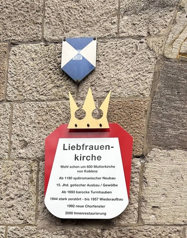
1. Liebfrauenkirche Marker
Wohl schon um 600 Mutterkirche. von Koblenz
Ab 1180 spätromanischer Neubau
15. Jhd. gotischer Ausbau / Gewölbe
Ab 1693 barocke Turmhauben
1944 stark zerstört - bis 1957 Wiederaufbau
1992 neue Chorfenster
2000 Innenrestaurierung
Probably the mother church as early as 600 AD of Koblenz
From 1180 late Romanesque new building
15th century Gothic extension / vault
From 1693 baroque tower domes
Heavily damaged in 1944 - rebuilt until 1957
1992 New choir windows
2000 Interior restoration
Topics. This historical marker is listed in this topic list: Religion & Religious Structures.
Location. 50° 21.65′ N, 7° 35.734′ E. Marker is in Koblenz, Rheinland-Pfalz (Rhineland-Palatinate). It is in Altstadt. It is on An der Liebfrauenkirche north of Am Plan, on the left when traveling north. Touch for map. Marker is in this post office area: Koblenz RP 56068, Germany. Touch for directions.

Regionally, this marker is in the German Rhineland, in the Upper Middle Rhine Valley, and specifically in the Moselle Valley. Globally, it is in Europe, the European Union, Atlantic
this page online
Other nearby markers. At least 8 other markers are within walking distance of this marker: Juliane Daniel (a few steps from this marker); Otto Daniel (a few steps from this marker); Deutsches Rotes Kreuz / German Red Cross (a few steps from this marker); Flora Daniel (a few steps from this marker); Gemüsegasse (within shouting distance of this marker); Koblenz (about 90 meters away, measured in a direct line); Altes Brauhaus / Old Beer Hall (about 90 meters away); Zu Den Drei Reichskronen (about 90 meters away). Touch for a list and map of all markers in Koblenz.
Also see . . . Church of Our Lady. (Submitted on January 14, 2025, by Steve Stoessel of Niskayuna, New York.)
Photographed by Steve Stoessel, December 16, 2024
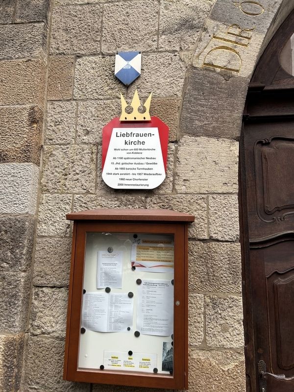
2. Liebfrauenkirche Marker
Photographed by Steve Stoessel, December 16, 2024
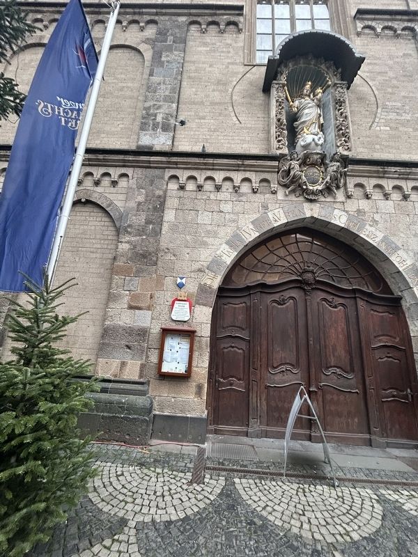
3. Liebfrauenkirche Marker
Credits. This page was last revised on January 14, 2025. It was originally submitted on January 14, 2025, by Steve Stoessel of Niskayuna, New York. This page has been viewed 103 times since then and 21 times this year. Photos: 1, 2, 3. submitted on January 14, 2025, by Steve Stoessel of Niskayuna, New York.
