
Riverview in Omaha in Douglas County, Nebraska — The American Midwest (Upper Plains)
A New World of Plants
December 26, 2024
1. A New World of Plants Marker
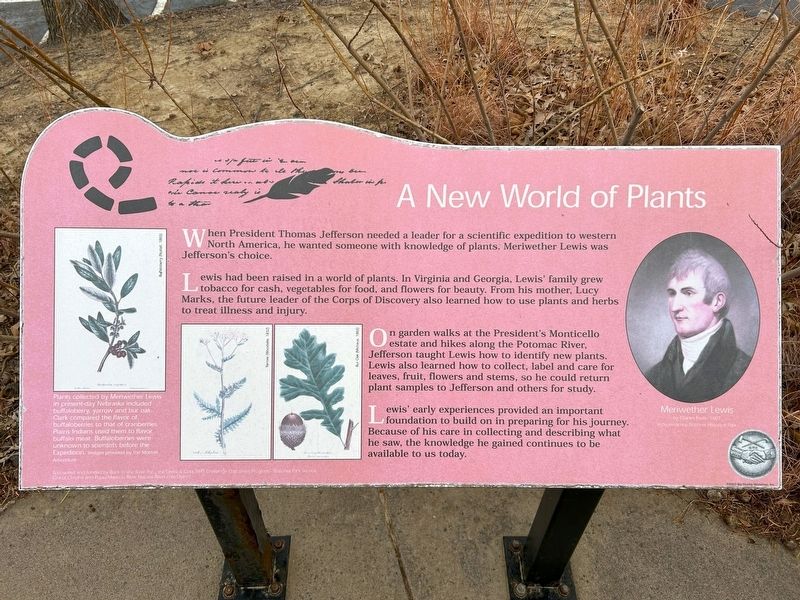
Lewis had been raised in a world of plants. In Virginia and Georgia, Lewis' family grew tobacco for cash, vegetables for food, and flowers for beauty. From his mother, Lucy Marks, the future leader of the Corps of Discovery also learned how to use plants and herbs to treat illness and injury.
On garden walks at the President's Monticello estate and hikes along the Potomac River, Jefferson taught Lewis how to identify new plants. Lewis also learned how to collect, label and care for leaves, fruit, flowers and stems, so he could return plant samples to Jefferson and others for study.
Lewis' early experiences provided an important foundation to build on in preparing for his journey. Because of his care in collecting and describing what he saw, the knowledge he gained continues to be available to us today.
Buffaloberry (Nuttall, 1865)
Yarrow (Woodville, 1832)
Bur Oak (Michaux, 1865)
Plants collected by Meriwether Lewis in present-day Nebraska included buffaloberry, yarrow and bur oak. Clark compared the flavor of buffaloberries to that of cranberries. Plains Indians used them to flavor buffalo meat. Buffaloberries were unknown to scientists before the Expedition. Images provided by the Morton Arboretum
Meriwether Lewis by Charles Peale, 1807 Independence National Historical Park
Erected 2003
this page online
Topics and series. This historical marker is listed in this topic list: Exploration. In addition, it is included in the Lewis & Clark Expedition series list.
Location. 41° 13.987′ N, 95° 54.946′ W. Marker is in Omaha, Nebraska, in Douglas County. It is in Riverview. It can be reached from Bancroft Street ¼ mile east of Bancroft Plaza. Located in the parking area for Lauritzen Gardens & Kenefick Park. Touch for map. Marker is at or near this postal address: 100 Bancroft St, Omaha NE 68108, United States of America. Touch for directions.

Regionally, this marker is in Eastern Nebraska. It is also in the American Midwest, in the Lewis & Clark Corridor, in the Corn Belt, and on the prairies. Globally, it is in North America, the Western Hemisphere, the Western World, and the Anglosphere. Historically, it finds itself in what was once the Louisiana Purchase.
Other nearby markers. At
December 26, 2024
2. A New World of Plants Marker
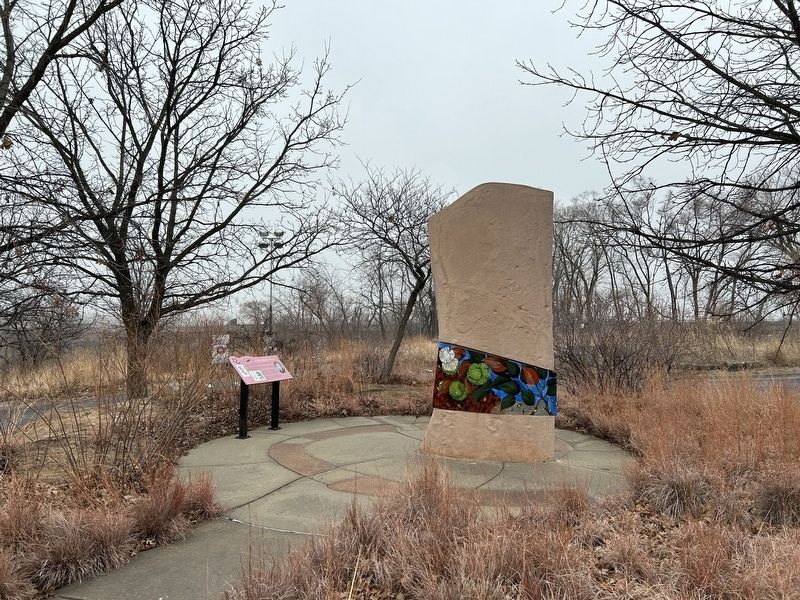
Lewis & Clark Interpretive Trail Exhibit 2004

December 26, 2024
3. Lewis & Clark Interpretive Trail Exhibit Monument
Icon sculpture designed by David Barker.
Original Sculpture: Wilson Custom Design Tile Co.
Casting by Artisan Stone
Original Sculpture: Wilson Custom Design Tile Co.
Casting by Artisan Stone
December 26, 2024
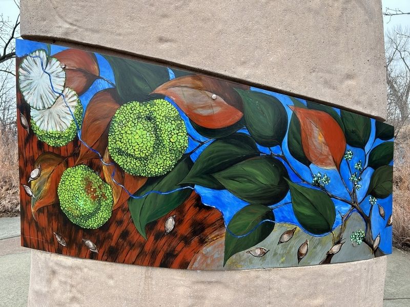
4. Monument Banner "Discovery of Native Vegetation"
Kristin Pluhacek
Sponsor: Lauritzen Garden Guild
Sponsor: Lauritzen Garden Guild
Credits. This page was last revised on January 15, 2025. It was originally submitted on January 14, 2025. This page has been viewed 243 times since then and 36 times this year. Photos: 1, 2, 3, 4. submitted on January 14, 2025.
