
Historische Binnenstad in Dordrecht, South Holland, Netherlands — Northwestern Europe
Donkere Steiger
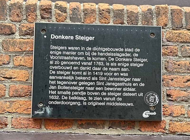
Photographed by Steve Stoessel, December 14, 2024
1. Donkere Steiger Marker

Erected by anwb. (Marker Number 35840/001.)
Topics. This historical
this page online
Location. 51° 48.926′ N, 4° 40.12′ E. Marker is in Dordrecht, Zuid-Holland (South Holland). It is in Historische Binnenstad. It is at the intersection of Voorstraat and Nieuwstraat on Voorstraat. Touch for map. Marker is at or near this postal address: Voorstraat 230, Dordrecht, Zuid-Holland 3311 EE, Netherlands. Touch for directions.

Regionally, it is in Europe, the European Union, Atlantic Europe, the Benelux Low Countries, the Schengen Area, Western Europe, and the Western World. Historically, it finds itself in what was once the Roman Empire and specifically also the Holy Roman Empire.
Other nearby markers. At least 8 other markers are within walking distance of this marker: Huis De Pauw (a few steps from this marker); Arij Scheffer (about 120 meters away, measured in a direct line); Gerechtsgebouw (about 150 meters away); Doelesteijn (about 210 meters away); Waalse Kerk (approx. 0.3 kilometers away); De Gulden Os (approx. 0.3 kilometers away); Schroevendok Straatman (approx. 0.3 kilometers
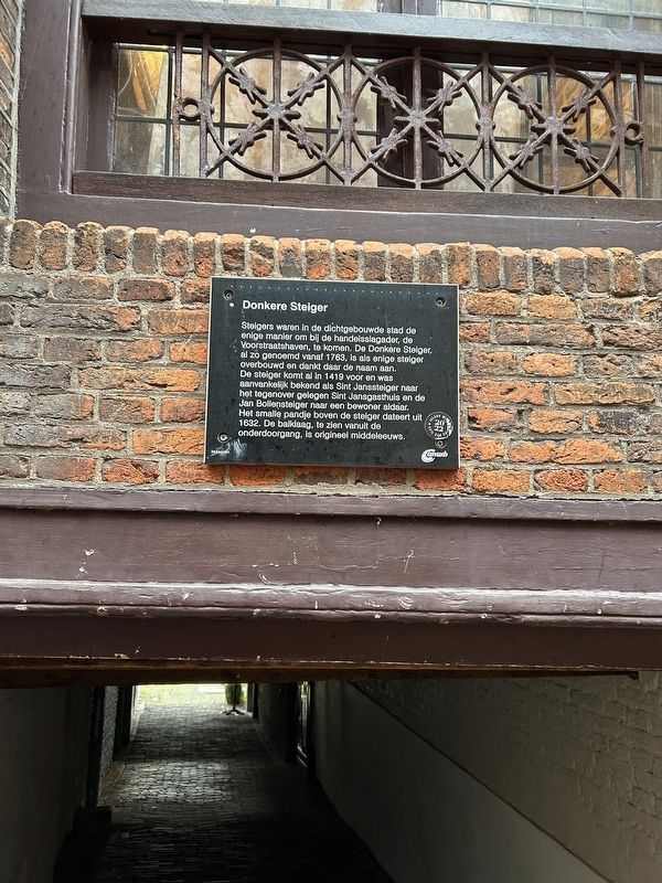
Photographed by Steve Stoessel, December 14, 2024
2. Donkere Steiger Marker
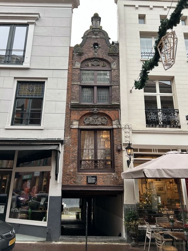
Photographed by Steve Stoessel, December 14, 2024
3. Donkere Steiger Marker
Credits. This page was last revised on January 23, 2025. It was originally submitted on January 15, 2025, by Steve Stoessel of Niskayuna, New York. This page has been viewed 272 times since then and 76 times this year. Photos: 1, 2, 3. submitted on January 15, 2025, by Steve Stoessel of Niskayuna, New York.
