Neumarkt-Viertel in Köln, North Rhine-Westphalia, Germany — Central Europe
At This Location
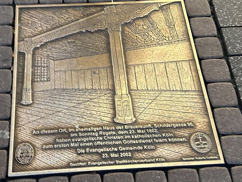
Photographed by Steve Stoessel, December 15, 2024
1. At This Location Marker
Die Evangelische Gemeinde Köln 23. Mai 2002
Gestiftet: Evangelischer Stadtkirchenverband Köln
Gestaet Roberto Cordone
At this location, in the former house of the brewers' guild, Schildergasse 96, on Rogate Sunday, May 23, 1802, Protestant Christians in Catholic Cologne were able to celebrate a public service for the first time.
The Evangelical Community of Cologne May 23, 2002
Donated by: Evangelical City Church Association of Cologne
Designed by: Roberto Cordeni
Erected 2002 by Evangelischer Stadtkirchenverband Köln.
Topics. This historical marker is listed in this topic list: Religion & Religious Structures. A significant historical date for this entry is May 23, 1802.
Location. 50° 56.188′ N, 6° 57.086′ E. Marker is in Köln, Nordrhein-Westfalen (North Rhine-Westphalia). It is in Neumarkt-Viertel. It is at the intersection of Schildergasse and Kreuzgasse, on the right when traveling east on Schildergasse.
this page online

Regionally, this marker is in the German Rhineland. Globally, it is in Europe, the European Union, Atlantic Europe, Central Europe, the Schengen Area, Western Europe, and the Western World. Historically, it finds itself in what was once the Roman Empire, the Holy Roman Empire, the Hanseatic League, and the former West Germany.
Other nearby markers. At least 8 other markers are within walking distance of this marker: Mathilde Joseph (about 90 meters away, measured in a direct line); Antoniterkirche (about 90 meters away); St. Cäcilien / Museum Schnütgen (about 180 meters away); Fygen Lutzenkirchen (about 180 meters away); St. Peter (approx. 0.2 kilometers away); Dr. Alfred L. Tietz (approx. 0.3 kilometers away); Margarete Pins (approx. 0.3 kilometers away); Liddy Pins (approx. 0.3 kilometers away). Touch for a list and map of all markers in Köln.
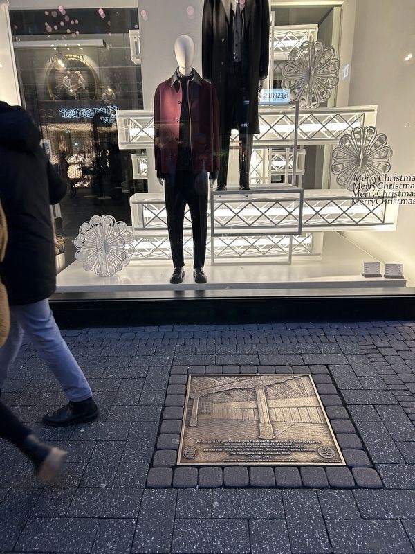
Photographed by Steve Stoessel, December 15, 2024
2. At This Location Marker
Credits. This page was last revised on January 15, 2025. It was originally submitted on January 15, 2025, by Steve Stoessel of Niskayuna, New York. This page has been viewed 87 times since then and 8 times this year. Photos: 1, 2. submitted on January 15, 2025, by Steve Stoessel of Niskayuna, New York.
