Dayton in Lyon County, Nevada — The American Mountains (Southwest)
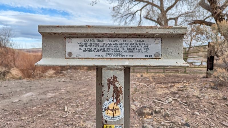
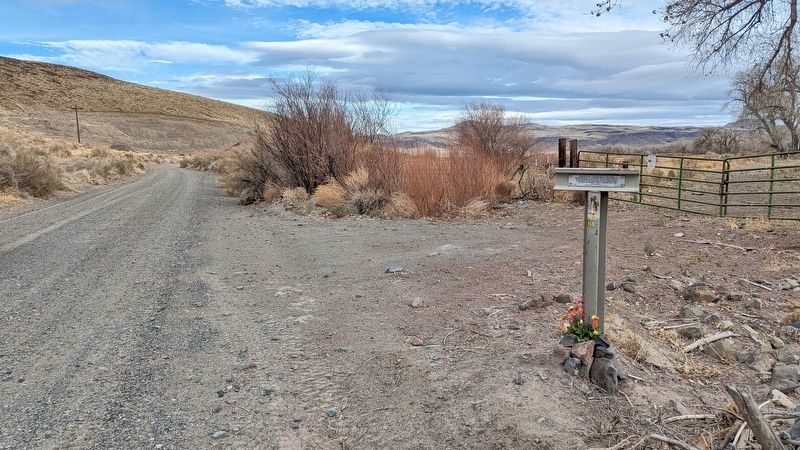
Carson Trail - Susans Bluff Crossing
Photographed by Marc Belanger, January 1, 2025
1. Carson Trail - Susans Bluff Crossing Marker
"Crossed the river... to avoid some very high bluffs which here come to the river. One is very high, leaving a foot path under it. The country is very mountainous-the hills bare and rocky... the valley very narrow."-Byron N. McKinstry, Sep 4, 1850
Guidebook Available
Trails West Inc. P.O. Box 12045 Reno NV 89510
Erected 2003 by Trails West, Inc. (Marker Number CR-20.)
Topics and series. This historical marker is listed in this topic list: Settlements & Settlers. In addition, it is included in the California Trail, the Kit Carson Trail, and the Trails West Inc. series lists.
Location. 39° 17.203′ N, 119° 23.273′ W. Marker is in Dayton, Nevada, in Lyon County. It is on Fort Churchill Road. Touch for map. Marker is at or near this postal address: Fort Churchill Road, Silver Springs NV 89429, United States of America. Touch for directions.

Regionally, this marker is in the Sierra Nevada and in Greater Reno Area. It is also in the American Mountain West. Globally, it is in North America, the Western Hemisphere, the Western World, and the Anglosphere. Historically,
this page online
Other nearby markers. At least 8 other markers are within 7 miles of this marker, measured as the crow flies: Desert Well Station (approx. 5½ miles away); Barracks and Mess Halls (approx. 6.2 miles away); The Finished Fort (approx. 6.2 miles away); Guard House (approx. 6.3 miles away); Officers' Quarters (approx. 6.3 miles away); Storehouses (approx. 6.3 miles away); Commander's Office (approx. 6.3 miles away); Hospital (approx. 6.3 miles away).
Photographed by Marc Belanger, January 1, 2025
2. Carson Trail - Susans Bluff Crossing Marker
Photographed by Marc Belanger, January 1, 2025
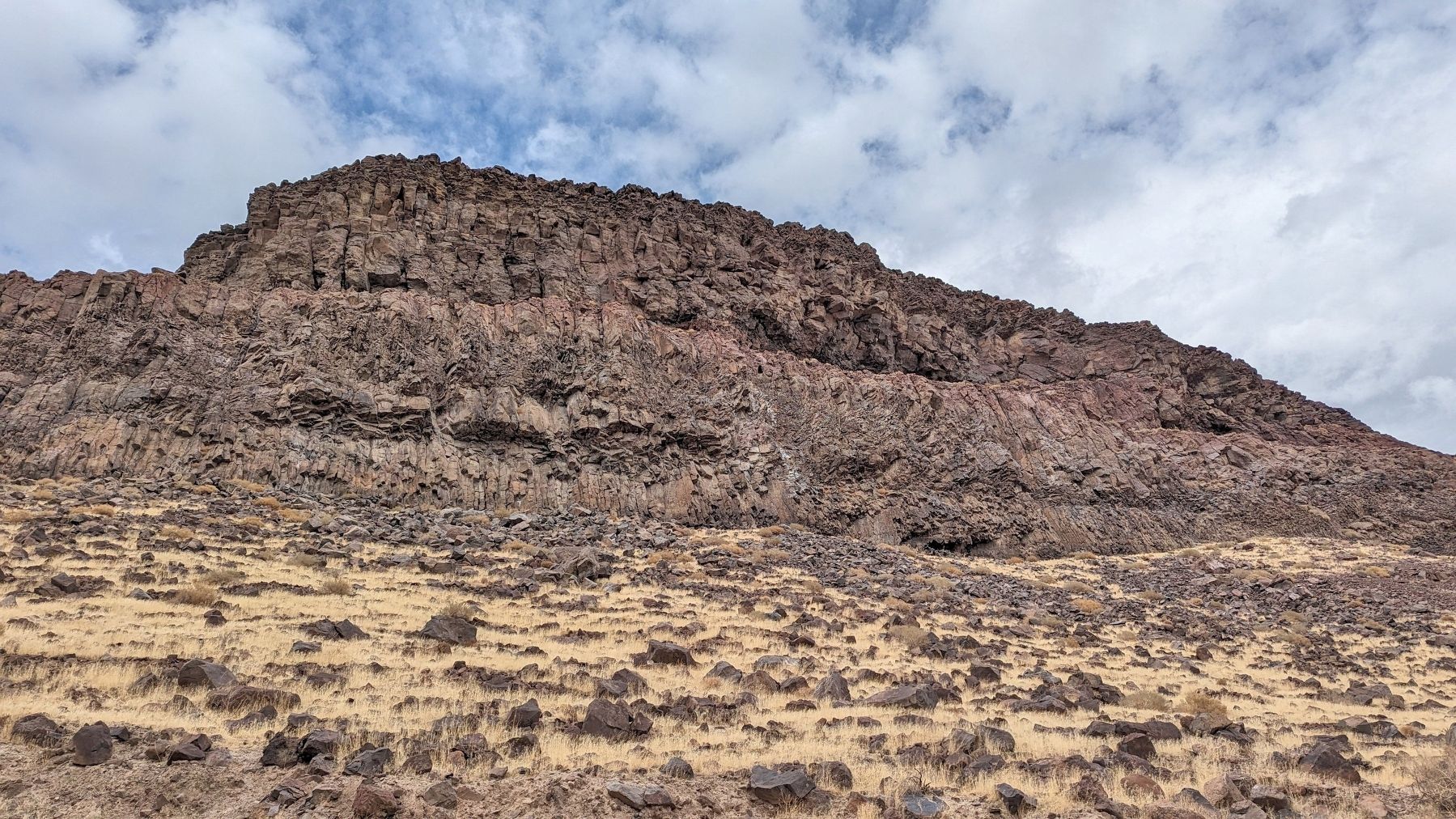
3. Susan's Bluff
Credits. This page was last revised on January 22, 2025. It was originally submitted on January 18, 2025, by Marc Belanger of Reno, Nevada. This page has been viewed 254 times since then and 67 times this year. Photos: 1, 2, 3. submitted on January 18, 2025, by Marc Belanger of Reno, Nevada. • Andrew Ruppenstein was the editor who published this page.
