Zonnebeke in West-Vlaanderen, Flanders, Belgium — Northwestern Europe
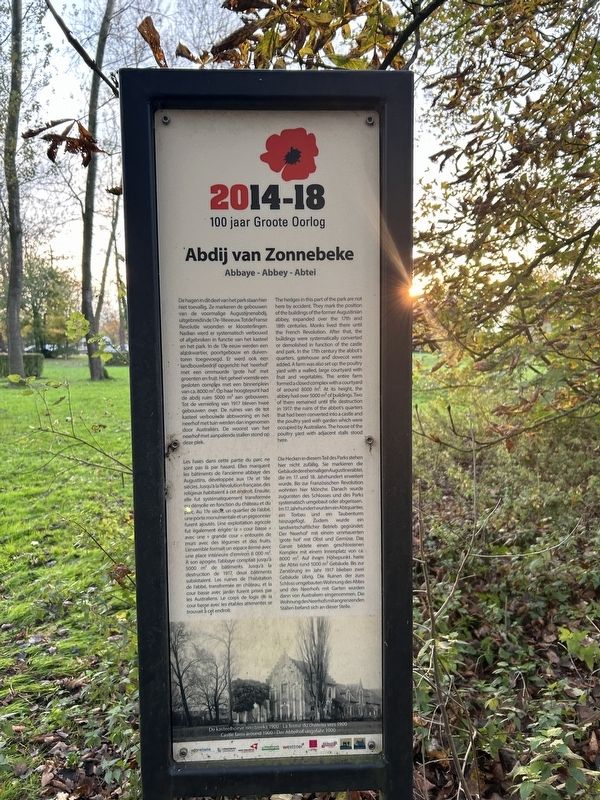
Abdij van Zonnebeke
Photographed by Steve Stoessel, November 12, 2024
1. Abdij van Zonnebeke Marker
[Nederland]
De hagen in dit deel van het park staan hier hiet toevallig. Ze markeren de gebouwen van de voormalige Augustijnenabdij, uitgebreidinde 17e-18eeeuw.TotdeFranse Revolutie woonden er kloosterlingen. Nadien werd er systematisch verbouwd of afgebroken in functie van het kasteel en het park. In
this page online
[français]
Les haies dans cette partie du parc ne sont pas là par hasard. Elles marquent les bâtiments de l'ancienne abbaye des Augustins, développée aux 17e et 18e siècles, Jusqu'à la Révolution française, des religieux habitaient à cet endroit. Ensuite, elle fut systématiquement transformée ou démolie en fonction du château et du parc, Au 17e siècle, un quartier de l'abbé, une porte monumentale et un pigeonnier furent ajoutés. Une exploitation agricole fut également érigée: la « cour basse » avec une « grande cour » entourée de murs avec des légumes et des fruits. L'ensemble formait
Photographed by Steve Stoessel, November 12, 2024
2. Abdij van Zonnebeke Marker
[Deutsch]
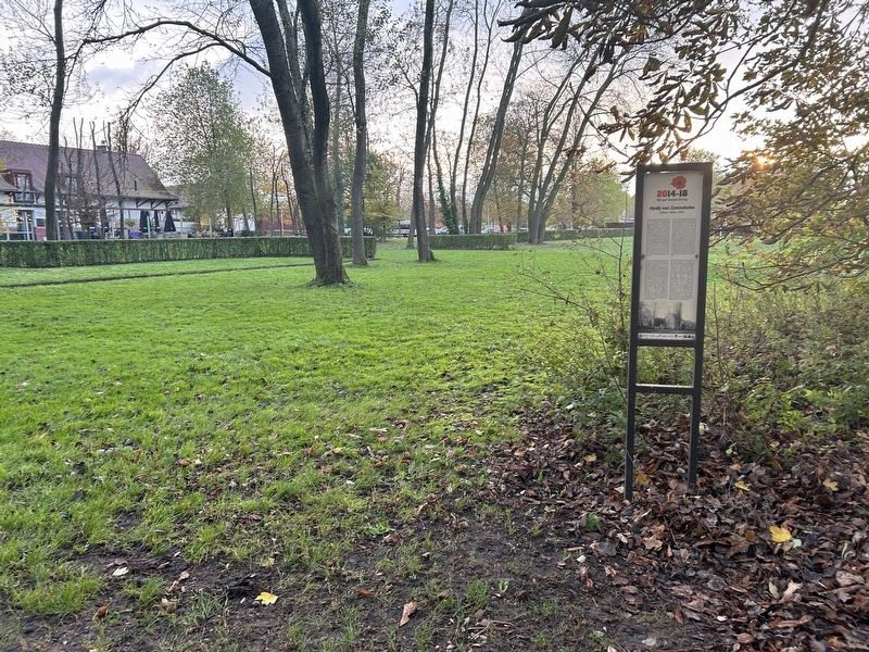
Die Hecken in diesem Teil des Parks stehen hier nicht zufällig. Sie markieren die Gebäudederehemaligen Augustinerabtei, die im 17, und 18, Jahrhundert erweitert wurde. Bis zur Französischen Revolution wohnten hier Mönche. Danach wurde zugunsten des Schlosses und des Parks systematisch umgebaut oder abgerissen. Im 17.Jahrhundert wurden ein Abtquartier, ein Torbau und ein Taubenturm hinzugefügt. Zudem wurde ein landwirtschaftlicher Betrieb gegründet: Der 'Neerhof' mit einem ummauerten 'grote hof' mit Obst und Gemüse. Das Ganze bildete einen geschlossenen Komplex mit einem Innenplatz von ca. 8000 m2. Auf ihrem Höhepunkt. hatte die Abtei rund 5000 m2 Gebäude. Bis zur Zerstörung im Jahr 1917 blieben zwei Gebäude übrig. Die Ruinen der zum Schloss umgebauten Wohnung des Abtes und des Neerhofs mit Garten wurden dann von Australier eingenommen. Die Wohnung des Neerhofsmitangrenzenden Ställen befand sich an dieser Stelle.
Topics. This historical marker is listed in these topic lists: Religion & Religious Structures • War, World I.
Location. 50° 52.295′ N, 2° 59.282′ E. Marker is in Zonnebeke, Vlaanderen (Flanders), in West-Vlaanderen. It can be reached from Ieperstraat (National Route 332) west of Berten Pilsstraat, on the right when traveling east. At the Passendaele Museum grounds. Touch for map. Marker is at or near this postal address: Ieperstraat 3, Zonnebeke, Vlaanderen 8980, Belgium. Touch for directions.

Regionally, it is in Europe, the European Union, Atlantic Europe, the Benelux Low Countries, the Schengen Area, Western Europe, and the Western World. Historically, it finds itself in what was once the Roman Empire and specifically also the Holy Roman Empire.
Other nearby markers. At least 8 other markers are within walking distance of this marker: Land of the Dead (about 120 meters away, measured in a direct line); American Temporary Shelter (about 150 meters away); Protective Wooden Structure (about 150 meters away); Fire Trench (about 150 meters away); Narrow-gauge Railways (about 180 meters away); Communication Trench (about 180 meters away); Shelter Baby Elephant (about 180 meters away); a different marker also named Communication Trench (about 180 meters away). Touch for a list and map of all markers in Zonnebeke.
Credits. This page was last revised on January 24, 2025. It was originally submitted on January 23, 2025, by Steve Stoessel of Niskayuna, New York. This page has been viewed 104 times since then and 11 times this year. Photos: 1, 2. submitted on January 23, 2025, by Steve Stoessel of Niskayuna, New York.
