
Bramber in West Sussex, England, United Kingdom — Northwestern Europe (the British Isles)
Bramber
A Ruined Norman Castle
Photographed by Stephen Palmer, January 26, 2025
1. Bramber Marker
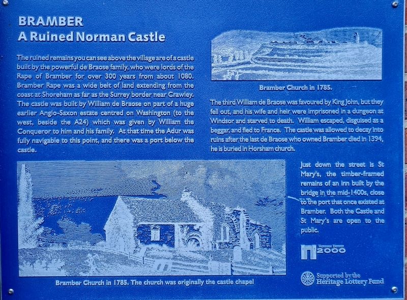
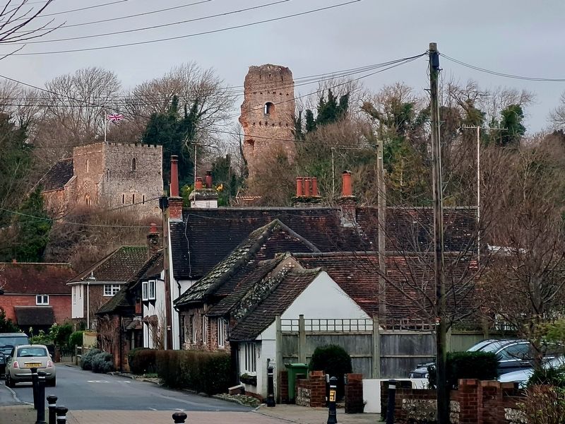
The ruined remains you can see above the village are of a castle built by the powerful de Braose family, who were lords of the Rape of Bramber for over 300 years from about 1080. Bramber Rape was a wide belt of land extending from the coast at Shoreham as far as the Surrey border near Crawley. The castle was built by William de Braose on part of a huge earlier Anglo-Saxon estate centred on Washington (to the west, beside the A24) which was given by William the Conqueror to him and his family. At that time the Adur was fully navigable to this point, and there was a port below the castle.
The third William de Braose was favoured by King John, but they fell out, and his wife and heir were imprisoned in a dungeon at Windsor and starved to death. William escaped, disguised as a beggar, and fled to France. The castle was allowed to decay into ruins after the last de Braose who owned Bramber died in 1394, he is buried in Horsham church.
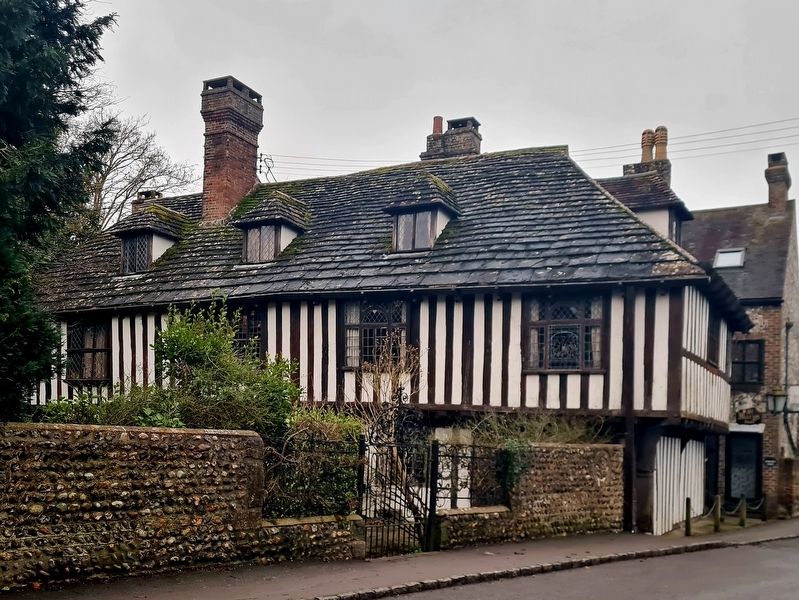
Just down the street is St Mary's, the timber-framed remains of an inn built by the bridge in the mid-1400s, close to the port that once existed at Bramber. Both the Castle and St Mary's
this page online
Erected 2000 by Horsham District Council.
Topics. This historical marker is listed in this topic list: Forts and Castles. A significant historical year for this entry is 1080 CE.
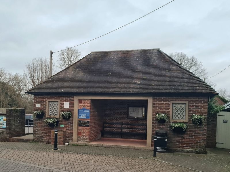
Location. 50° 52.977′ N, 0° 18.716′ W. Marker is in Bramber, England, in West Sussex. It is on The Street, on the left when traveling east. Marker is located on the bus shelter. Touch for map. Marker is at or near this postal address: 8 The St, Bramber, England BN44 3WE, United Kingdom. Touch for directions.

Regionally, this marker is in the Greater South East. Globally, it is on the Atlantic Ocean, in the North Atlantic Region, in Europe, in Atlantic Europe, on one of the British Isles, in the Western World, and in the Anglosphere. Historically, it finds itself in what was once the Roman Empire.
Other nearby markers. At least 3 other markers are within 23 kilometers of this marker, measured as the crow flies: Keymer and Clayton War Memorial (approx. 13.4 kilometers away); Ditchling War Memorial (approx. 14.3 kilometers away); Chennelsbrook Castle (approx. 22.6 kilometers away).
Photographed by Stephen Palmer, January 26, 2025
2. Bramber Marker
Photographed by Stephen Palmer, January 26, 2025
3. Bramber Castle and Bramber Church
Photographed by Stephen Palmer, January 26, 2025
4. St Mary's House
Credits. This page was last revised on January 31, 2025. It was originally submitted on January 26, 2025, by Stephen Palmer of Ascot, England. This page has been viewed 122 times since then and 15 times this year. Photos: 1, 2, 3, 4. submitted on January 26, 2025, by Stephen Palmer of Ascot, England. • Andrew Ruppenstein was the editor who published this page.
