Valkenburg in Valkenburg aan de Geul, Limburg, Netherlands — Northwestern Europe
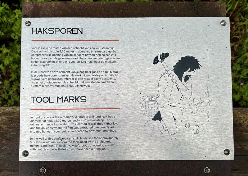
Haksporen
⎯⎯⎯
Tool Marks
Photographed by Andrew Ruppenstein, May 27, 2024
1. Haksporen / Tool Marks Marker

Voor je zie je de resten van een schacht van een vuursteenmijn. Deze schacht is zo'n 2,70 meter in doorsnee en 6 meter diep. De oorspronkelijke opening van de schacht bevond zich op een iets hoger niveau, en de galerijen waarin het vuursteen werd gewonnen liggen waarschijnlijk onder je voeten. Kijk maar naar de markering in het wegdek.
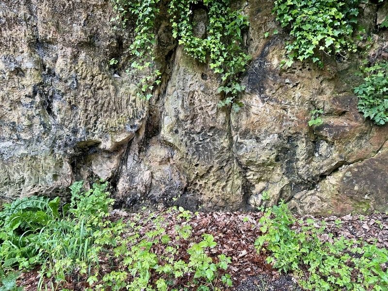
In de wand van deze schacht kun je nog heel goed de circa 5.500 jaar oude haksporen zien van de werktuigen die de prehistorische mijnwerkers gebruikten. 'Mergel' is een relatief zacht gesteente,. maar het uitdiepen van de schacht met vuurstenen hakken zal niettemin een vermoeiende klus zijn geweest.
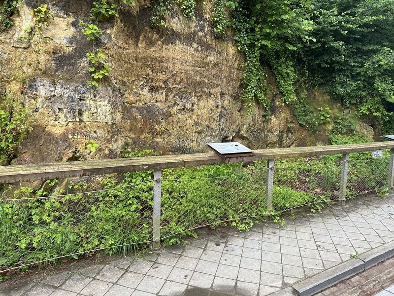
In front of you are the remains of a shaft of a flint mine. It has a diameter of about 2.70 meters and was 6 meters deep. The original entrance to the shaft was located at a slightly higher level and the galleries where the flint was extracted presumably are situated beneath your feet, as indicated by pavement markings.
In the wall of this shaft you can still clearly see the approximately 5.500-year-old marks from the tools used by the prehistoric miners.
this page online
Topics. This historical marker is listed in this topic list: Industry & Commerce.
Location. 50° 51.936′ N, 5° 49.371′ E. Marker is in Valkenburg, Limburg, in Valkenburg aan de Geul. It is on Plenkertstraat, on the right when traveling east. Touch for map. Marker is in this post office area: Valkenburg, Limburg 6301 GN, Netherlands. Touch for directions.

Regionally, it is in Europe, the European Union, Atlantic Europe, the Benelux Low Countries, the Schengen Area, Western Europe, and the Western World. Historically, it finds itself in what was once the Roman Empire and specifically also the Holy Roman Empire.
Other nearby markers. At least 8 other markers are within walking distance of this marker: Werktuigen van Vuursteen / Flint Tools (here, next to this marker); Vuurstijn-Mijnwerkers / Flint Miners (a few steps from this marker); De Via Belgica (a few steps from this marker); Kruitmolen/ Gunpowder Mill (within shouting distance of this marker); Philips Fabriek / Philips Factory
Photographed by Andrew Ruppenstein, May 27, 2024
2. Haksporen / Tool Marks Marker - wide view
Also see . . . Vuursteenmijn Valkenburg (Visit South Limburg). Excerpt:
One of the oldest archaeological national monuments in the Netherlands is located in Valkenburg: a site with the partly visible remains of seven prehistoric flint mines. Here the very first Dutch miners (about 5,500 years ago) searched for the steel of the Stone Age: flint.(Submitted on January 28, 2025.)
Flint is a versatile material. At a time when bronze and iron had not yet been invented, flint was used to make all kinds of tools and weapons.
To obtain flint, people dug meters deep mines during part of the New Stone Age (between about 4,000 and 2,800 BC). You can see the remnants of this in Plenkertstraat.
Photographed by Andrew Ruppenstein, May 27, 2024
3. Tool Marks
Credits. This page was last revised on January 28, 2025. It was originally submitted on January 28, 2025, by Andrew Ruppenstein of Lamorinda, California. This page has been viewed 108 times since then and 9 times this year. Photos: 1, 2, 3. submitted on January 28, 2025, by Andrew Ruppenstein of Lamorinda, California.
