
Centerville in Hickman County, Tennessee — The American South (East South Central)
Former Site of a Livery Stable
| — | Historic Downtown Centerville | — |
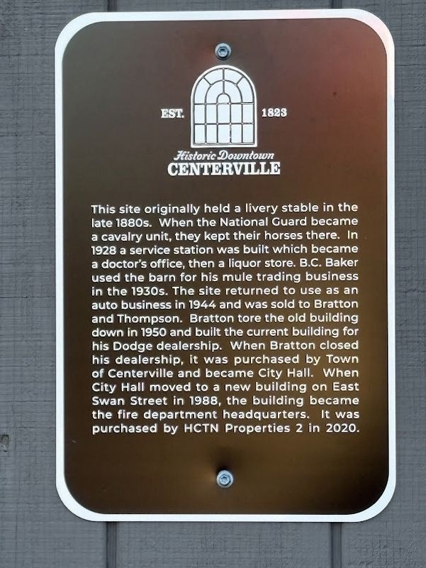
Photographed by Darren Jefferson Clay, January 4, 2025
1. Former site of a livery stable Marker
Topics. This historical marker is listed in this topic list: Notable Buildings.
Location. 35° 46.683′ N, 87° 28.042′ W. Marker is in Centerville, Tennessee, in Hickman County. It is at the intersection of Linden Road and Briggs St, on the left when traveling south on Linden Road. Touch for map. Marker is at or near this postal address:
this page online

Regionally, this marker is in Middle Tennessee and in the Highland Rim. It is also in the American South and specifically in the Upper South. Globally, it is in North America, the Western Hemisphere, the Western World, and the Anglosphere. Historically, it finds itself in what was once the territory of the Mississippian Culture, one of the Confederate States of America, and the Antebellum South.
Other nearby markers. At least 8 other markers are within walking distance of this marker: Haynes Building (within shouting distance of this marker); Liberty Pharmacy (within shouting distance of this marker); Former site of R.M. Clagett family home (within shouting distance of this marker); Old Hickory House Hotel Building (within shouting distance of this marker); Olympic Opera House Building (within shouting distance of this marker); Former site of Barnwell & Woolard General Merchandise (within shouting distance of this marker); Hickman County Courthouse (within shouting distance of this marker); Former site of Barnwell and Woolard Department Store
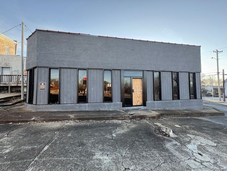
Photographed by Darren Jefferson Clay, January 4, 2025
2. Former site of a livery stable Marker
Credits. This page was last revised on January 31, 2025. It was originally submitted on January 28, 2025, by Darren Jefferson Clay of Duluth, Georgia. This page has been viewed 155 times since then and 19 times this year. Photos: 1, 2. submitted on January 29, 2025, by Darren Jefferson Clay of Duluth, Georgia. • James Hulse was the editor who published this page.
