Ancaster in Hamilton, Ontario — Central Canada (North America)
Ancaster Township Hall
Photographed by Tim Boyd, January 27, 2025
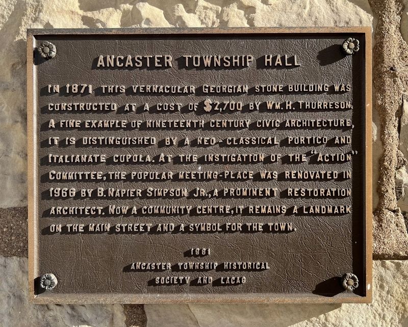
1. Ancaster Township Hall Marker
Erected 1981 by Ancaster Township Historical Society and LACAS.
Topics. This historical marker is listed in this topic list: Architecture. A significant historical year for this entry is 1871.
Location. 43° 13.534′ N, 79° 58.588′ W. Marker is in Hamilton, Ontario. It is in Ancaster. It is at the intersection of Wilson Street East and Church Street, on the right when traveling east on Wilson Street East. Touch for map. Marker is at or near this postal address: 310 Wilson Street E, Hamilton ON L9G 2B8, Canada. Touch for directions.

Regionally, this marker is on the Golden Horseshoe, in the Hamilton-Halton-Brant Area, and specifically
this page online
Other nearby markers. At least 8 other markers are within walking distance of this marker: The Founding of Ancaster (within shouting distance of this marker); The Gore Gazette (about 120 meters away, measured in a direct line); Richardson-Farmer-Ashworth House (about 150 meters away); St. John’s Church (about 180 meters away); “The Bloody Assize” 1814 (about 210 meters away); Marr-Phillipo House (approx. 0.3 kilometers away); Mills of Ancaster (approx. 0.9 kilometers away); Ancaster Old Mill (approx. one kilometer away). Touch for a list and map of all markers in Hamilton.
Also see . . . Ancaster History.
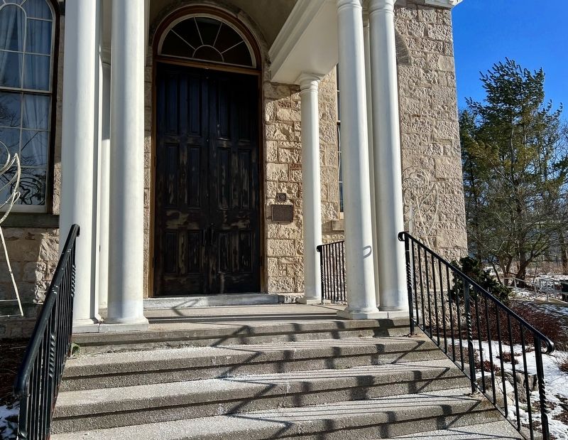
Ancaster’s history stretches back over 200 years. The town was given its name in 1793 by Lieutenant Governor John Graves Simcoe after it had been surveyed as part(Submitted on January 29, 2025, by Tim Boyd of Hamilton, Ontario.)of a plan to create roads for military reasons. Several families, wanting to maintain their loyalty to the British Crown, had already settled in the area after fleeing from the United States. These United Empire Loyalists claimed land in Upper Canada (Ontario) and many received grants of land in Ancaster.Photographed by Tim Boyd, January 27, 20252. Ancaster Township Hall Marker
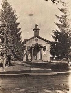
1906
3. Ancaster Township Hall, 1906
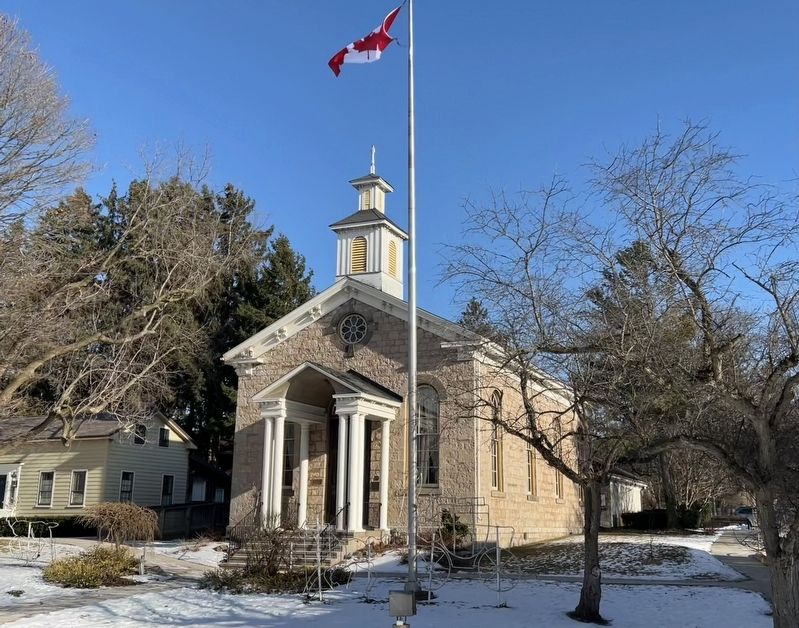
Photographed by Tim Boyd, January 27, 2025
4. Ancaster Township Hall, 2025
Credits. This page was last revised on January 31, 2025. It was originally submitted on January 29, 2025, by Tim Boyd of Hamilton, Ontario. This page has been viewed 134 times since then and 22 times this year. Photos: 1, 2, 3, 4. submitted on January 29, 2025, by Tim Boyd of Hamilton, Ontario. • Andrew Ruppenstein was the editor who published this page.
