
Alva in Woods County, Oklahoma — The American South (West South Central)
Site of United States Land Office Building
Photographed by Cosmos Mariner, September 8, 2024
1. Site of United States Land Office Building Marker
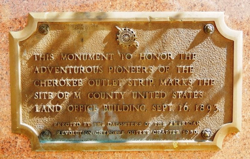
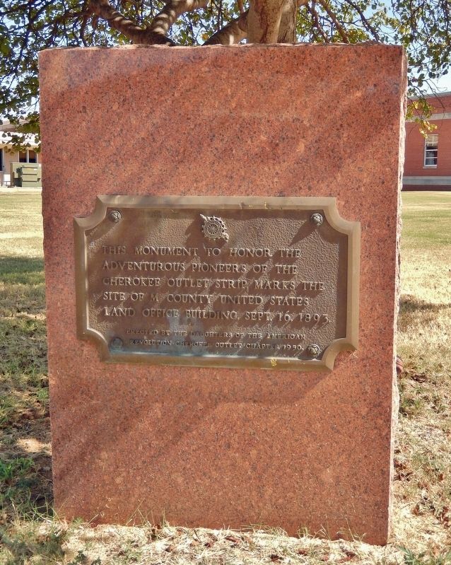
This monument to honor the adventurous pioneers of the Cherokee Outlet Strip, marks the site of M County United States Land Office Building, Sept. 16, 1893.
Erected 1950 by Daughters of the American Revolution, Cherokee Outlet Chapter.
Topics and series. This historical marker is listed in this topic list: Settlements & Settlers. In addition, it is included in the Daughters of the American Revolution (DAR) series list. A significant historical date for this entry is September 16, 1893.
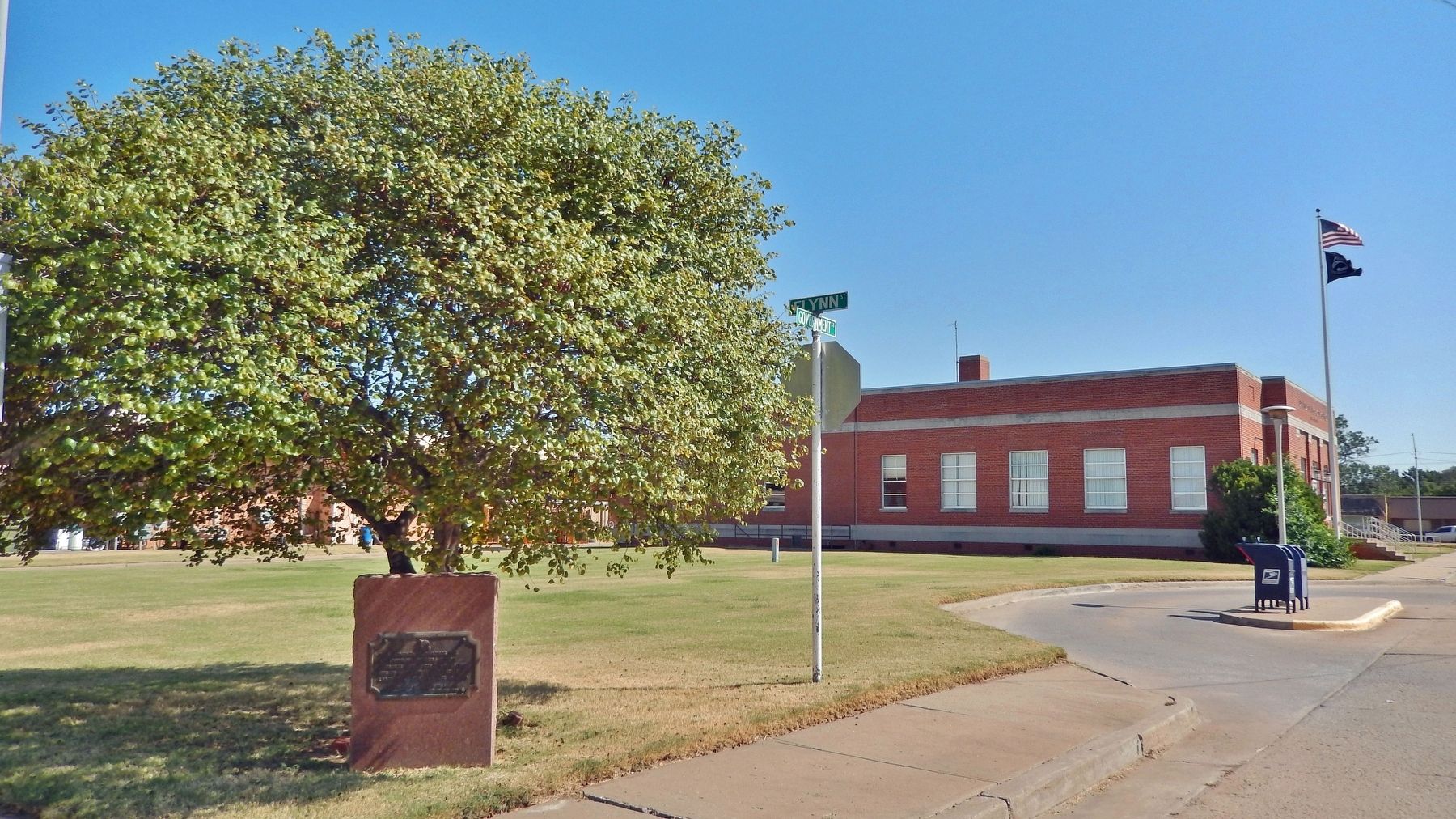
Location. 36° 48.285′ N, 98° 39.869′ W. Marker is in Alva, Oklahoma, in Woods County. It is at the intersection of Government Street and Flynn Street, on the right when traveling north on Government Street. The marker is located at the southeast corner of the intersection. Touch for map. Marker is in this post office area: Alva OK 73717, United States of America. Touch for directions.

Regionally, this marker is in the American South, specifically on the prairies, and on the Southern Plains. Globally, it is in North America, the Western Hemisphere, the Western World, and the Anglosphere. Historically, it finds itself in what was once the territory
this page online
Other nearby markers. At least 8 other markers are within walking distance of this marker: Thunderbirds (within shouting distance of this marker); World War I Memorial (within shouting distance of this marker); Woods County Centennial Wall (about 300 feet away, measured in a direct line); Statehood Day (about 300 feet away); The Train Depot (about 300 feet away); The Old Courthouse (about 300 feet away); Charles Morton Share (about 300 feet away); Holtzclaw's Jewelry (about 400 feet away). Touch for a list and map of all markers in Alva.
Also see . . . Alva, Oklahoma (Wikipedia).
Excerpt: Alva was established in 1893 as a United States General Land Office for the Cherokee Outlet land run, the largest of the land rushes that settled western and central Oklahoma. The site was chosen for its location on the Atchison, Topeka & Santa Fe Railway and likely named for a railroad attorney, Alva Adams, who had become governor of Colorado.(Submitted on January 30, 2025, by Cosmos Mariner of Cape Canaveral, Florida.)The United States Secretary of the Interior chose Alva as the seat of County M when Oklahoma Territory was organized
in 1890. A U.S. government land office opened there before a presidential proclamation on August 19, 1893, opened the Cherokee Outlet for general settlement.Photographed by Cosmos Mariner, September 8, 20242. Site of United States Land Office Building MarkerThe actual land run occurred September 16, 1893. By then, Alva's 320 acres site had been formally surveyed and platted.
Photographed by Cosmos Mariner, September 8, 2024
3. Site of United States Land Office Building Marker
Looking southeast from the Government Street & Flynn Street intersection. The Alva United States Post Office is in the background.
Credits. This page was last revised on January 30, 2025. It was originally submitted on January 30, 2025, by Cosmos Mariner of Cape Canaveral, Florida. This page has been viewed 135 times since then and 24 times this year. Photos: 1, 2, 3. submitted on January 30, 2025, by Cosmos Mariner of Cape Canaveral, Florida.
