Helper in Carbon County, Utah — The American Mountains (Southwest)
Liberty Fuel - Latuda, Utah
1914 - 1967
Photographed by Braden Orr, January 25, 2025
1. Liberty Fuel - Latuda, Utah Marker
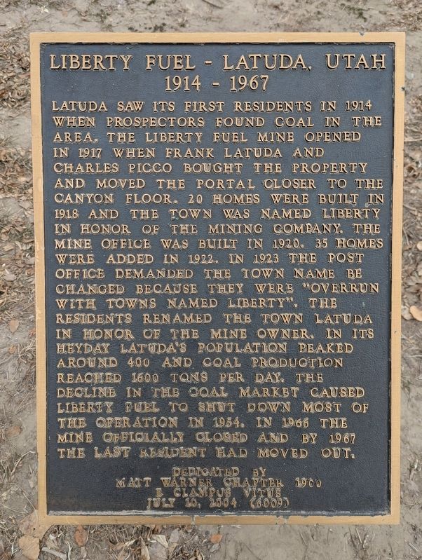
Latuda saw its first residents in 1914 when prospectors found coal in the area. The Liberty Fuel Mine opened in 1917 when Frank Latuda and Charles Picco bought the property and moved the portal closer to the canyon floor. Twenty homes were built in 1918 and the town was named Liberty in honor of the mining company. The mine office was built in 1920. Thirty-five homes were added in 1922. In 1923, the post office demanded the town name be changed because they were "overrun with towns named Liberty." The residents renamed the town Latuda in honor of the mine owner. In its heyday, Latuda's population peaked around 400, and coal production reached 1600 tons per day. The decline in the coal market caused Liberty Fuel to shut down most of the operation in 1954. In 1966, the mine officially closed, and by 1967, the last resident had moved out.
Erected 2004 by E Clampus Vitus - Matt Warner Chapter #1900.
Topics and series. This historical marker is listed in this topic list: Settlements & Settlers. In addition, it is included in the E Clampus Vitus series list. A significant historical year for this entry is 1914.
Location. 39° 41.283′ N, 110° 51.333′ W.
this page online

Regionally, this marker is in Canyon Country. It is also in the American Mountain West, on the Colorado Plateau, and at the Four Corners. Globally, it is in North America, the Western Hemisphere, the Western World, and the Anglosphere. Historically, it finds itself in what was once New Spain and also Mexico’s Alta California.

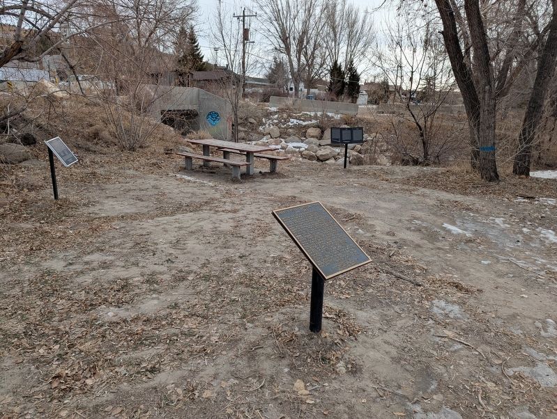
Other nearby markers. At least 8 other markers are within walking distance of this marker: Peerless / New Peerless (here, next to this marker); Western Springs Canyon - Rains - Mutual (here, next to this marker); Sweets Coal Company - Consumers - National (a few steps from this marker); Coal City (a few steps from this marker); WPA - PWA (within shouting distance of this marker); Helper Civic Auditorium (about 400 feet away, measured in a direct line); The History of Big John (about 400 feet away); Heiner (1911-1937) (about 600 feet away). Touch for a list and map of all markers in Helper.
Photographed by Braden Orr, January 25, 2025
2. Liberty Fuel - Latuda, Utah Marker
Credits. This page was last revised on February 2, 2025. It was originally submitted on February 1, 2025, by Braden Orr of Helper, Utah. This page has been viewed 646 times since then and 48 times this year. Photos: 1, 2. submitted on February 1, 2025, by Braden Orr of Helper, Utah. • J. Makali Bruton was the editor who published this page.
