
Near Olive Branch in Alexander County, Illinois — The American Midwest (Great Lakes)
Lewis and Clark in Illinois
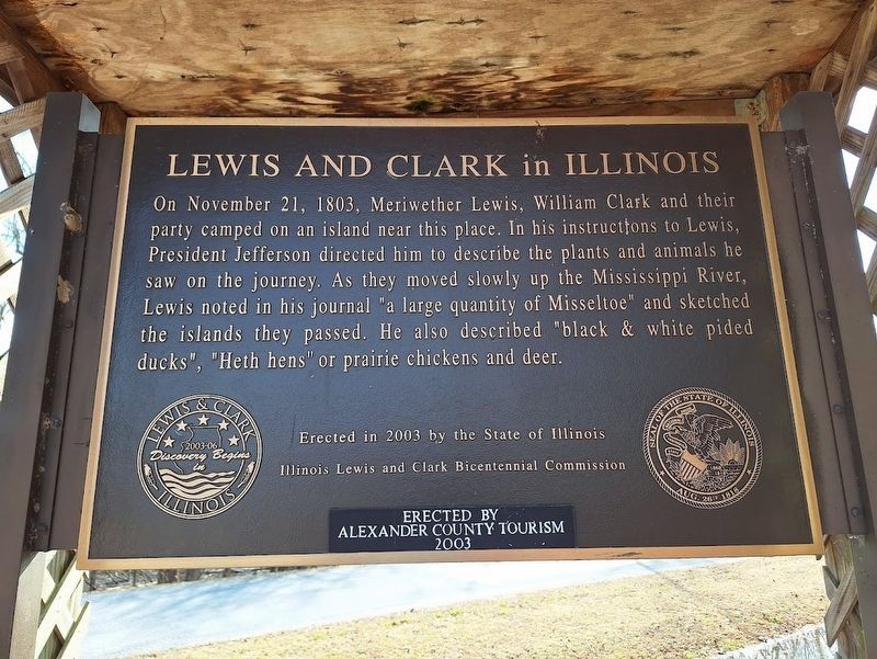
Photographed by Jason Voigt, February 1, 2025
1. Lewis and Clark in Illinois Marker
Erected 2003 by the State of Illinois, Illinois Lewis and Clark Bicentennial Commission and Alexander County Tourism.
Topics and series. This historical marker is listed in these topic lists: Animals • Exploration. In addition, it is included in the Former U.S. Presidents: #03 Thomas Jefferson, and the Lewis & Clark Expedition series lists. A significant historical date for this entry is November 21, 1803.
Location. 37° 6.527′ N, 89° 19.522′ W. Marker is near Olive Branch, Illinois, in Alexander County. It is at the intersection of East Side Drive and Promised Land Road, on the right when traveling south on East Side Drive. Marker is at the southeast corner of Horseshoe Lake.
this page online

Regionally, this marker is in Southern Illinois — Little Egypt. It is also in the American Midwest, in the Ohio River Valley, in the Corn Belt, and in the Great River Road Region. Globally, it is in North America, the Western Hemisphere, the Western World, and the Anglosphere. Historically, it finds itself in what was once the territory of the Mississippian Culture and also the Northwest Territory.
Other nearby markers. At least 8 other markers are within 9 miles of this marker, measured as the crow flies: New Hope Missionary Baptist Church (approx. 3.6 miles away); London School (approx. 3.6 miles away); Ole London Farm (approx. 3.8 miles away); a different marker also named Lewis and Clark in Illinois (approx. 4 miles away); Navy Seabees Memorial (approx. 8.3 miles away); In Honor of Those Who Gave the Ultimate Sacrifice (approx. 8.3 miles away); A National Cemetery System (approx. 8.3 miles away); Mound City National Cemetery (approx. 8.3 miles away). Touch for a list and map
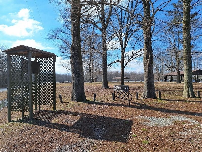
Photographed by Jason Voigt, February 1, 2025
2. Lewis and Clark in Illinois Marker
Marker is at the southeast corner of Horseshoe Lake grounds.
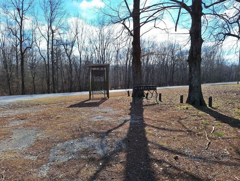
Photographed by Jason Voigt, February 1, 2025
3. Lewis and Clark in Illinois Marker
Credits. This page was last revised on February 1, 2025. It was originally submitted on February 1, 2025, by Jason Voigt of Glen Carbon, Illinois. This page has been viewed 254 times since then and 32 times this year. Photos: 1, 2, 3. submitted on February 1, 2025, by Jason Voigt of Glen Carbon, Illinois.
