Remington in Baltimore, Maryland — The American Northeast (Mid-Atlantic)
Lorraine Ave
| — | Ghost Rivers | — |
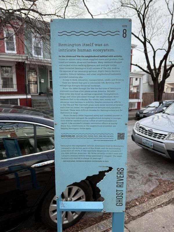
In the 1940s and '50s the neighborhood bubbled with activity. In the 1940s and 50s the neighborhood bubbled with activity. Stores on almost every corner supplied meats and produce, fresh bread and sweets, shoes and hardware. Churches like Guardian Angel and Oak Street AME were hubs of community, hosting regular services and events. Many residents shopped and worked within walking distance, and multiple trolley lines connected Remington to all corners of the city, making the expense of car ownership optional. High’s Dairy, Sanitary Laundry, Potts & Callahan, and other neighborhood businesses provided numerous jobs.
Access to work, education, transportation, credit, and housing — these are waters that give a community life. Severing these wellsprings disrupts the social landscape.
From the 1960s through the ‘90s the fortunes of Remington mirrored countless other places across America. Reliable blue-collar jobs dried up; savings evaporated. Unemployment, drugs, and crime percolated through the neighborhood. Some residents fled to the suburbs. For others, race, money, class, and education were barriers to mobility.
this page online
Since the early 2000s improved safety and renewed interest in city living have reshaped the neighborhood, bringing in younger, more diverse residents and an inflow of new businesses and capital. Like successful stream restoration efforts at nearby Stony Run, investments in the neighborhood ecosystem are helping Remington thrive again.
“Remington was segregated. African Americans lived on Remington [Avenue] or the bottom parts of Fox Street, and the surrounding areas were all white. It was especially dangerous for outsiders if you were African American. My father actually couldn’t come onto Lorraine [Avenue] without being questioned or stopped. The neighborhood only started to change 20 years ago.”
— Joan Hazelwood, Remington resident (interviewed in 2021)
Erected by Greater Remington Improvement Association. (Marker Number 8.)
Topics. This historical marker is listed in these
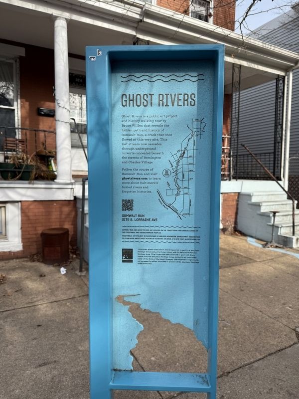
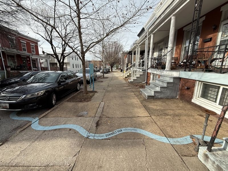
Location. 39° 19.176′ N, 76° 37.266′ W. Marker is in Baltimore, Maryland. It is in Remington. It is on West Lorraine Avenue east of Huntingdon Avenue, on the left when traveling east. Touch for map. Marker is at or near this postal address: 326 W Lorraine Ave, Baltimore MD 21211, United States of America. Touch for directions.

Regionally, this marker is in Central Maryland. It is also in the American Mid-Atlantic, in the Chesapeake Bay Region, and on the Eastern Seaboard. Globally, it is in the North Atlantic Region, North America, the Western Hemisphere, the Western World, and the Anglosphere. Historically, it finds itself in what was once one of the original Thirteen Colonies and also the Antebellum South.
Other nearby markers. At least 8 other markers are within walking distance of this marker: 27th St (within shouting distance of this marker); 26th St (within shouting distance of this marker); Remington (about 400 feet away, measured in a direct line); Remington Ave
Credits. This page was last revised on February 2, 2025. It was originally submitted on February 2, 2025, by Devry Becker Jones of Washington, District of Columbia. This page has been viewed 172 times since then and 26 times this year. Photos: 1, 2, 3. submitted on February 2, 2025, by Devry Becker Jones of Washington, District of Columbia.
