Kvadraturen in Kristiansand, Agder, Norway — Northern Europe (a Nordic Country in Scandinavia)
Domkirken
⎯⎯⎯
Cathedral
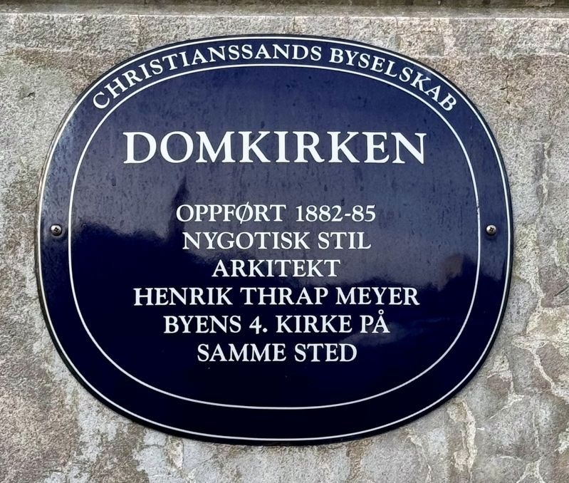
Photographed by Shaw Zavoshy, January 26, 2025
1. Domkirken / Cathedral Marker

Nygotisk stil
Arkitekt
Henrik Thrap Meyer
Byens 4. kirke på
samme sted
Erected 2014 by Christianssands Byselskab.
Topics. This historical marker is listed in this topic list: Religion & Religious Structures.
Location. 58° 8.77′ N, 7° 59.707′ E. Marker is in Kristiansand, Agder. It is in Kvadraturen. It is at the intersection of Kirkegata and Radhusgata, on the left when traveling north on Kirkegata. Touch for map. Marker is at or near this postal address: Gyldenløves gate 9, Kristiansand, Agder 4611, Norway. Touch for directions.

Regionally, it is in the North Atlantic Region, on the Atlantic Arc, in Europe, in Atlantic Europe, in Scandinavia, in the Nordic Countries, in the Schengen Area, and in the Western World.
Also see . . . Kristiansand Cathedral (Wikipedia). History:
The cathedral is in the same location as three previous buildings. The first, called Trefoldigetskirken (Trinity Church), a small(Submitted on February 3, 2025.)wooden church, was built in 1645. When Kristiansand was appointed the seat of the diocese in 1682, construction began on the town's first cathedral, called Vor Frelsers Kirke (Our Saviour's Church). That first cathedral, built in stone, was consecrated in 1696, but burned down in 1734. The second cathedral, Vor Frues Kirke (Our Lady's Church), consecrated in 1738, was destroyed by a fire that affected the whole city, on 18 December 1880…
Click or scan to see
this page online
The current cathedral, which is larger than its predecessors, was consecrated in 1885. When the 1940 Nazi attack on Kristiansand took place early in the morning of 9 April 1940, the 70-metre (230 ft)-tall cathedral tower was hit by an artillery shell, which damaged the upper part.
Additional keywords. blå skilt
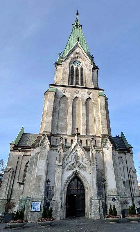
Photographed by Shaw Zavoshy, January 26, 2025
2. Domkirken / Cathedral and Marker
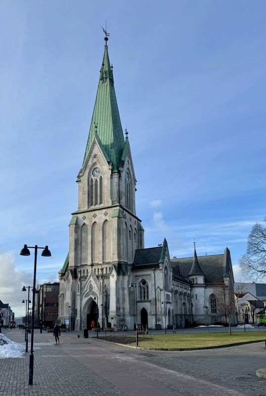
Photographed by Shaw Zavoshy, January 26, 2025
3. Domkirken / Cathedral
Credits. This page was last revised on February 3, 2025. It was originally submitted on February 3, 2025, by Andrew Ruppenstein of Lamorinda, California. This page has been viewed 175 times since then and 21 times this year. Photos: 1, 2, 3. submitted on February 3, 2025, by Andrew Ruppenstein of Lamorinda, California.
