Latrobe in Westmoreland County, Pennsylvania — The American Northeast (Mid-Atlantic)
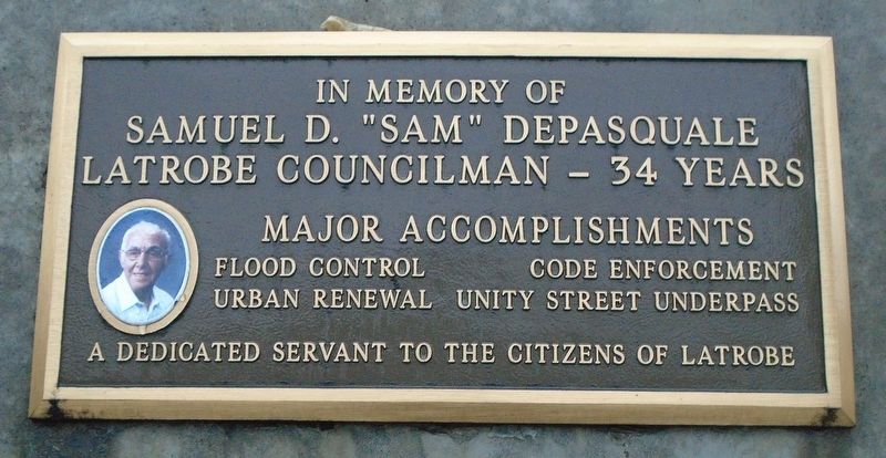
Samuel D. "Sam" DePasquale
In Memory of
| — | Latrobe Councilman - 34 Years | — |
Photographed by William Fischer, Jr., January 31, 2025
1. Samuel D. "Sam" DePasquale Marker
Flood Control • Code Enforcement
Urban Renewal • Unity Street Underpass
A Dedicated Servant to the Citizens of Latrobe
Erected by the Borough of Latrobe.
Topics. This historical marker is listed in this topic list: Government & Politics.
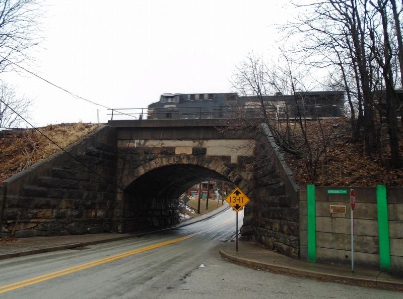
Location. 40° 18.84′ N, 79° 23.413′ W. Marker is in Latrobe, Pennsylvania, in Westmoreland County. It is at the intersection of Unity Street and Fountain Way (AKA DePasquale's Way), on the right when traveling west on Unity Street. Touch for map. Marker is in this post office area: Latrobe PA 15650, United States of America. Touch for directions.

Regionally, this marker is in the Laurel Highlands and in Greater Pittsburgh. It is also in the American Northeast, in the Mid-Atlantic, in Appalachia, and specifically in Northern Appalachia. Globally, it is in North America, the Western Hemisphere, the Western World, and the Anglosphere. Historically, it finds itself in what was once the Viceroyalty of New France, the Haudenosaunee (Iroquois) Confederacy, and one of the original Thirteen Colonies.
this page online
Other nearby markers. At least 8 other markers are within walking distance of this marker: William Findley (approx. 0.2 miles away); Reflections of Latrobe History (approx. ¼ mile away); Fred McFeely Rogers (approx. 0.3 miles away); War Memorial (approx. 0.3 miles away); a different marker also named War Memorial (approx. 0.3 miles away); World War Memorial (approx. 0.3 miles away); Veterans Memorial (approx. 0.3 miles away); The Banana Split (approx. 0.3 miles away). Touch for a list and map of all markers in Latrobe.
Photographed by William Fischer, Jr., January 31, 2025
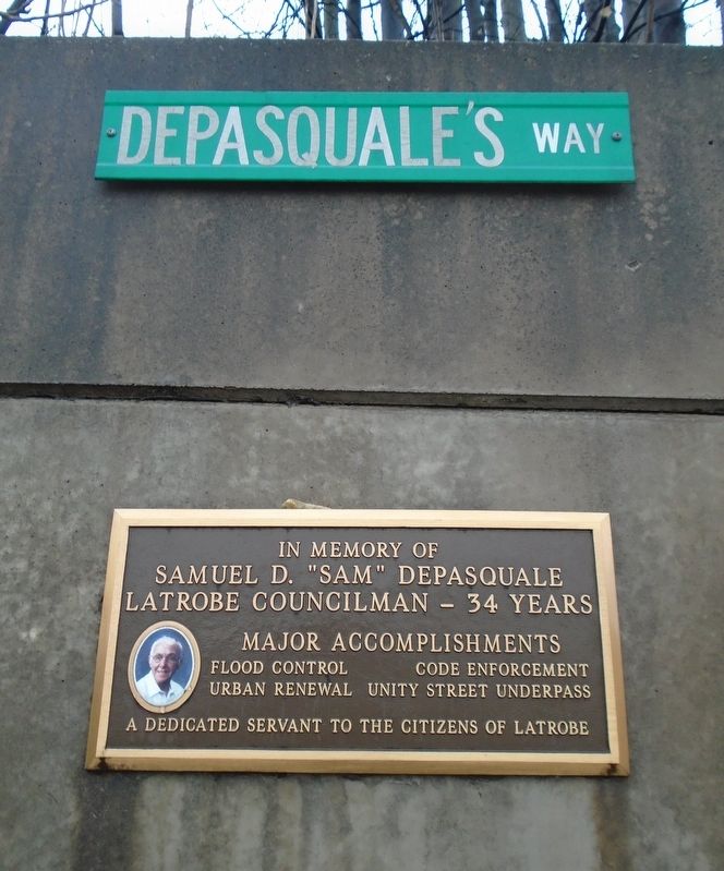
2. Samuel D. "Sam" DePasquale Marker
Photographed by William Fischer, Jr., January 31, 2025
3. Samuel D. "Sam" DePasquale Marker
Credits. This page was last revised on February 4, 2025. It was originally submitted on February 4, 2025, by William Fischer, Jr. of Reynoldsburg, Ohio. This page has been viewed 177 times since then and 19 times this year. Photos: 1, 2, 3. submitted on February 4, 2025, by William Fischer, Jr. of Reynoldsburg, Ohio.
