
George Town, Cayman Islands, British Overseas Territories
Fort George
National Trust Cayman Islands

Photographed by Jimmy Emerson, 2001
1. Fort George Marker
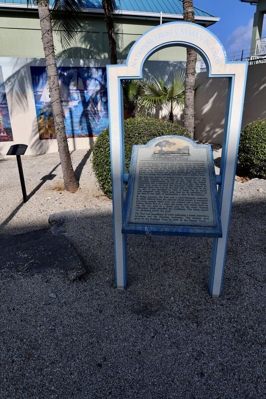
Fort George was built sometime around 1790 by Caymanians for the defense of these Islands from attacks by Spanish marauders from Cuba. Little is known about the origin and early history of the Fort. In 1662, the Governor of Jamaica was instructed "to take charge of the Caimanes Islands by the Planting and raising Fortifications upon them," but Fort George was probably not built until a century later.
The fort was typical of English battery construction of the late 18th Century. It was built in the shape of an oval measuring approximately 57 by 38 feet, with ten cannon embrasures and a mahogany gate on the land side. The walls, which were made of coral and limestone rubble, ranged in thickness from two feet on the land side to five feet on the seaside. It was described in 1802 as being "by no means well equipped" with "three guns four to six pounders." At the time it was built, it commanded a view of the harbour.
In living memory, the Fort was a sand-bottomed enclosure in which children from the adjacent school played. It contained two large cannon which were not original and a large chain. During World War II, a huge silk cotton tree which stood on this site was used as a watch post for the many German submarines which patrolled the Caribbean. The Home Guard was stationed across the road.
The Fort was demolished in 1972 following a battle between a developer and the Planning Authority. The remains were given to the National Trust in 1957 by the Doucet Trust.
Topics. This memorial is listed in this topic list: Forts and Castles. A significant historical year for this entry is 1662.
Location. 19° 17.804′ N, 81° 22.979′ W. Memorial is in George Town, Cayman Islands. It is on Harbor Drive near Fort Street. Touch for map. Memorial is at or near this postal address: Fort St 66, George Town, Cayman Islands
this page online

Regionally, it is one of the Lesser Antilles on the Caribbean Sea, in North America, and in the Anglosphere.
Other nearby markers. At least 8 other markers are within walking distance of this marker: The Home Guard (here, next to this marker); World War II (here, next to this marker); Easter Regatta (here, next to this marker); Spanish Attack (here, next to this marker); The U.S. Naval Base (here, next to this marker); Fort Knock (within shouting distance of this marker); Honourable James (Jim) Manoah Bodden (about 120 meters away, measured in a direct line); Hon. Sybil Ione McLaughlin, MBE, JP (about 120 meters away). Touch for a list and map of all markers in George Town.
Photographed by Sandra Hughes Tidwell, January 27, 2025
2. Fort George Marker
Photographed by Sandra Hughes Tidwell, January 27, 2025
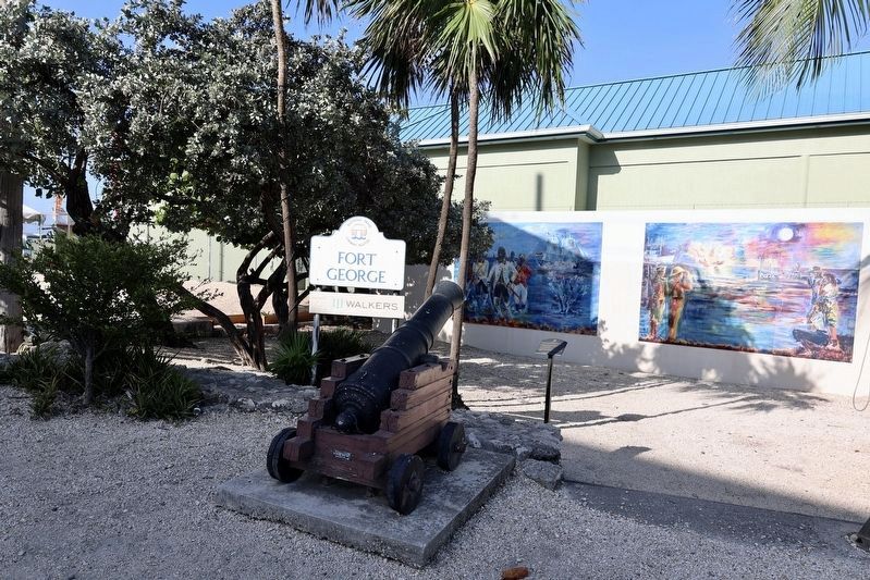
3. A Cannon near the Fort George Marker

Photographed by Jimmy Emerson, 2001
4. Fort George Marker
Credits. This page was last revised on March 13, 2026. It was originally submitted on February 4, 2025, by Sandra Hughes Tidwell of Killen, Alabama, USA. This page has been viewed 178 times since then and 45 times this year. Photos: 1. submitted on March 8, 2026, by Jimmy Emerson of Dalton, Georgia. 2, 3. submitted on February 4, 2025, by Sandra Hughes Tidwell of Killen, Alabama, USA. 4. submitted on March 8, 2026, by Jimmy Emerson of Dalton, Georgia. • J. Makali Bruton was the editor who published this page.
