Okanogan in Okanogan County, Washington — The American West (Northwest)
Ruby
Photographed by Mark Teshera, May 17, 2024
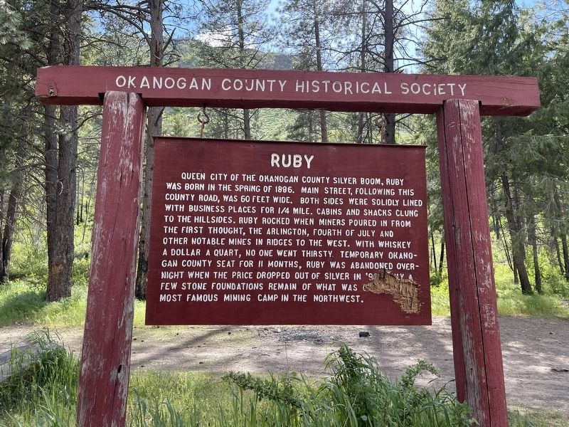
1. Ruby Marker
Erected by Okanogan County Historical Society.
Topics. This historical marker is listed in this topic list: Settlements & Settlers. A significant historical year for this entry is 1886.
Location. 48° 29.901′ N, 119° 43.525′ W. Marker is in Okanogan, Washington, in Okanogan County. It is at the intersection of Salmon Creek Road and Ruby Grde, on the left when traveling north on Salmon Creek Road. Touch for map. Marker is in this post office area: Okanogan WA 98840, United
this page online

Regionally, this marker is in the Okanogan Highlands. It is also in the American Mountain West and in the Lewis & Clark Corridor. Globally, it is in North America, in the Cascade Range, on the Pacific Rim, in the Western Hemisphere, in the Western World, and in the Anglosphere.
Other nearby markers. At least 8 other markers are within 12 miles of this marker, measured as the crow flies: U Bar U Ranch (approx. 2.1 miles away); Scotch Creek Basin (approx. 3.1 miles away); First Okanogan County Courthouse (approx. 4.2 miles away); Conconully (approx. 4.4 miles away); Conconully Lake History (approx. 4.4 miles away); Okanogan County World War I Memorial (approx. 11.3 miles away); 1925 - Cariboo Hotel (approx. 11.4 miles away); 1919- Baines Building (approx. 11.4 miles away). Touch for a list and map of all markers in Okanogan.
Regarding Ruby. Also known as the "Babylon of the West."
Photographed by Mark Teshera, May 17, 2024
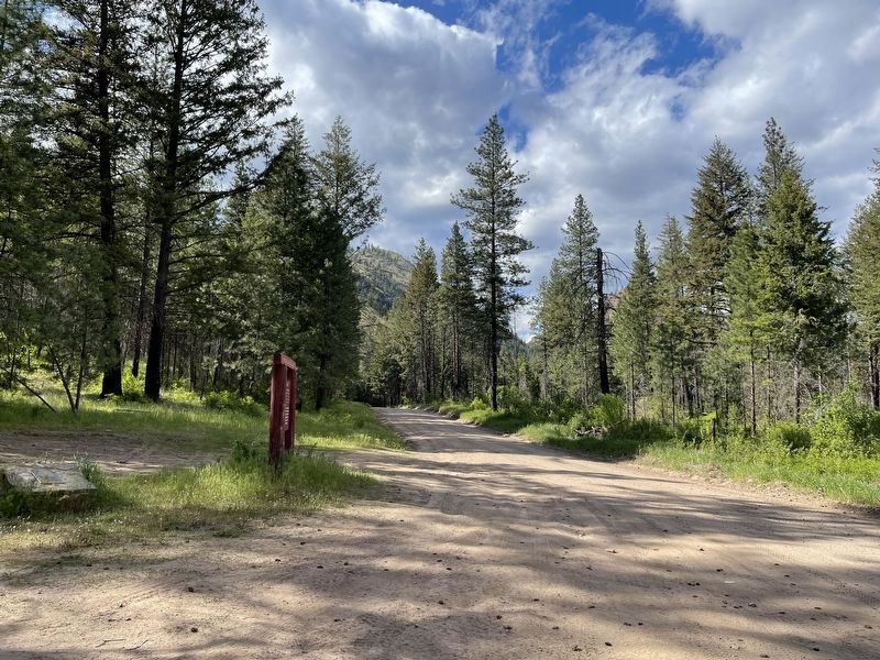
2. Ruby Marker on Salmon Creek Road, heading north
All of the various buildings were on either side of the road.
Photographed by Mark Teshera, May 17, 2024
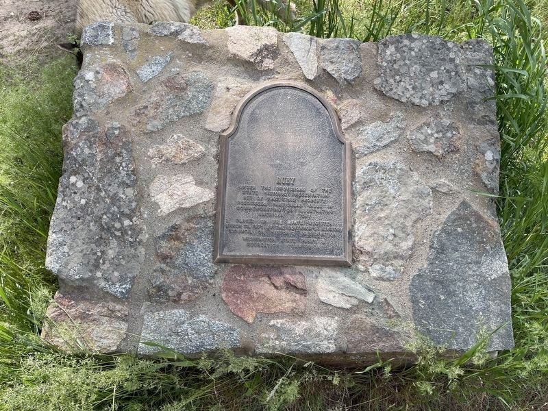
3. An additional Ruby Marker
This additional marker notes the addition of Ruby to the state's historical register.
Credits. This page was last revised on February 8, 2025. It was originally submitted on February 4, 2025, by Mark Teshera of Oroville, Washington. This page has been viewed 198 times since then and 27 times this year. Photos: 1. submitted on February 4, 2025, by Mark Teshera of Oroville, Washington. 2, 3. submitted on February 7, 2025, by Mark Teshera of Oroville, Washington. • James Hulse was the editor who published this page.
