Scuffleton near Ayden in Greene County, North Carolina — The American South (South Atlantic)
Little Creek Original Free Will Baptist Church
Photographed by Mark Parker, February 4, 2025
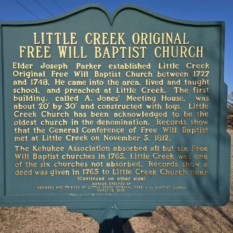
1. Little Creek Original Free Will Baptist Church Marker
Elder Joseph Parker established Little Creek Original Free Will Baptist Church between 1727 and 1748. He came into the area, lived and taught school, and preached at Little Creek. The first building, called A. Jones' Meeting House, was about 20' by 30' and constructed with logs. Little Creek Church has been acknowledged to be the oldest church in the denomination. Records show that the General Conference of Free Will Baptist met at Little Creek on November 5, 1812.
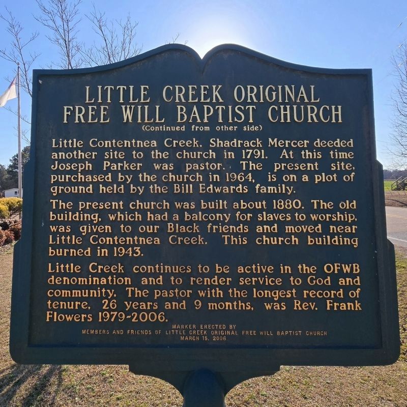
The Kehukee Association absorbed all but six Free Will Baptist churches in 1765. Little Creek was one of the six churches not absorbed. Records show adeed was given in 1765 to Little Creek Church near Little Contentnea Creek. Shadrack Mercer deeded another site to the church in 1791. At this time Joseph Parker was pastor. The present site, purchased by the church in 1964, is on a plot of ground held by the Bill Edwards family.
The present church was built about 1880. The old building, which had a balcony for slaves to worship, was given to our Black friends and moved near Little Contentnea Creek. This church building burned in 1943.
Little Creek continues
this page online
Erected 2006 by Members and Friends of Little Creek Original Free Will Baptist Church.
Topics. This historical marker is listed in this topic list: Religion & Religious Structures. A significant historical date for this entry is November 5, 1812.
Location. 35° 27.371′ N, 77° 29.344′ W. Marker is near Ayden, North Carolina, in Greene County. It is in Scuffleton. It is on Edwards Bridge Road south of North Carolina Route 903, on the left when traveling south. Touch for map. Marker is at or near this postal address: 55 Edwards Bridge Rd, Grifton NC 28530, United States of America. Touch for directions.

Regionally, this marker is in North Carolina’s Coastal Plain. It is also in the American South and specifically in the Upper South. Globally, it is in North America, the Western Hemisphere, the Western World, and the Anglosphere. Historically, it finds itself in what was once the territory of the Mississippian Culture, one of the original Thirteen
Photographed by Mark Parker, February 4, 2025
2. Little Creek Original Free Will Baptist Church Marker Reverse
Other nearby markers. At least 8 other markers are within 7 miles of this marker, measured as the crow flies: A different marker also named Scuffleton Bridge (approx. 0.2 miles away); Veteran's Memorial (approx. 3.8 miles away); Washington's Southern Tour (approx. 4.1 miles away); Former Colleges (approx. 4.2 miles away); Blount Hall (approx. 4.9 miles away); John Lawson (approx. 6.3 miles away); Catechna (approx. 6.3 miles away); Fort Fisher Hero (approx. 6.7 miles away). Touch for a list and map of all markers in Ayden.
Other markers no longer nearby. Scuffleton Bridge (was approx. 0.2 miles away but has been replaced with another marker now near it); Hookerton Defenses (was approx. 6.1 miles away but has been permanently removed).
Photographed by Mark Parker, February 4, 2025
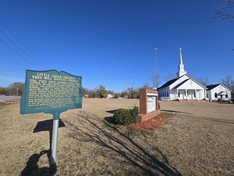
3. Little Creek Original Free Will Baptist Church and Marker
Photographed by Mark Parker, February 4, 2025
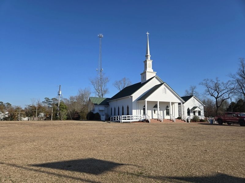
4. Little Creek Original Free Will Baptist Church
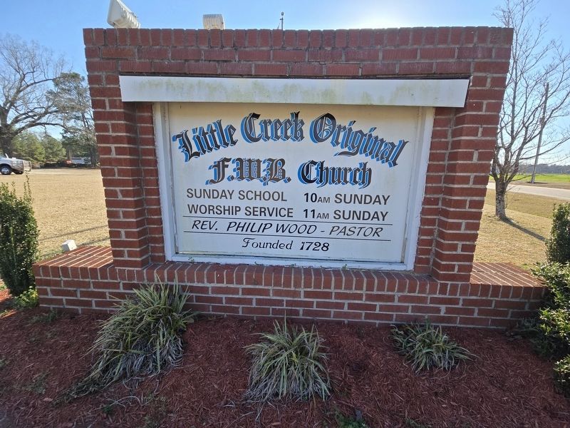
Photographed by Mark Parker, February 4, 2025
5. Little Creek Original Free Will Baptist Church sign
Credits. This page was last revised on July 16, 2025. It was originally submitted on February 6, 2025, by Mark Parker of Hickory, North Carolina. This page has been viewed 504 times since then and 212 times this year. Photos: 1, 2, 3, 4, 5. submitted on February 6, 2025, by Mark Parker of Hickory, North Carolina. • J. Makali Bruton was the editor who published this page.
