Oakland in Burt County, Nebraska — The American Midwest (Upper Plains)
The Founding of Oakland
December 28, 2024
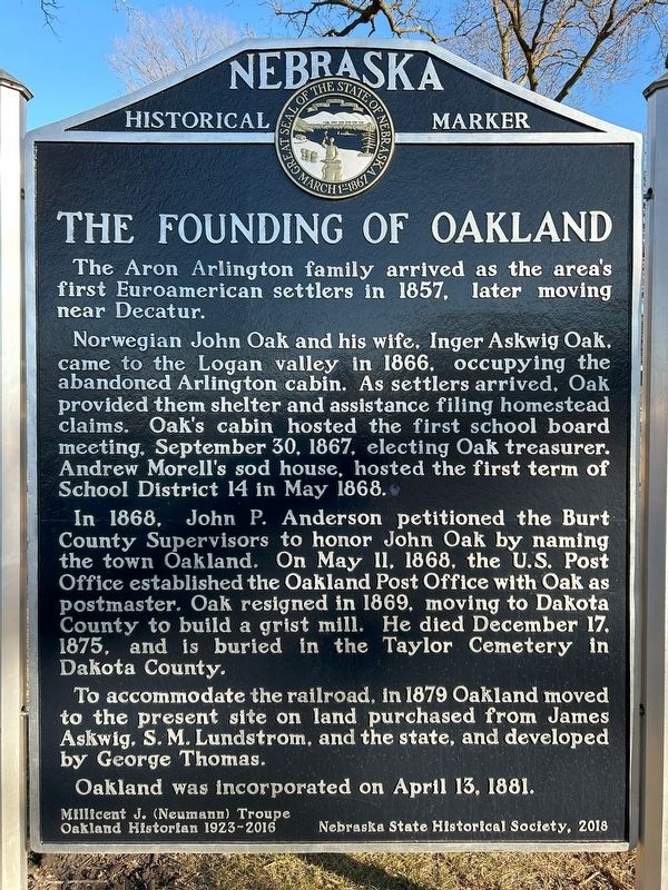
1. The Founding of Oakland Marker
Norwegian John Oak and his wife, Inger Askwig Oak, came to the Logan valley in 1866, occupying the abandoned Arlington cabin. As settlers arrived, Oak provided them shelter and assistance filing homestead claims. Oak's cabin hosted the first school board meeting, September 30, 1867, electing Oak treasurer. Andrew Morell's sod house, hosted the first term of School District 14 in May 1868.
In 1868, John P. Anderson petitioned the Burt County Supervisors to honor John Oak by naming the town Oakland. On May 11, 1868, the U.S. Post Office established the Oakland Post Office with Oak as postmaster. Oak resigned in 1869, moving to Dakota County to build a grist mill. He died December 17, 1875, and is buried in the Taylor Cemetery in Dakota County.
To accommodate the railroad, in 1879 Oakland moved to the present site on land purchased from James Askwig, S. M. Lundstrom, and the state, and developed by George Thomas.
Oakland was incorporated on April 13, 1881.
Millicent J. (Neumann) Troupe
Oakland Historian 1923-2016
Erected 2018
this page online
Topics and series. This historical marker is listed in this topic list: Settlements & Settlers. In addition, it is included in the Nebraska State Historical Society, and the Norwegian-Americans series lists. A significant historical date for this entry is April 13, 1881.
Location. 41° 49.827′ N, 96° 28.659′ W. Marker is in Oakland, Nebraska, in Burt County. It is on A.E. Wells Parkway 0.1 miles north of Nebraska Highway 32, on the right when traveling north. Located in Oakland City Park. Touch for map. Marker is in this post office area: Oakland NE 68045, United States of America. Touch for directions.

Regionally, this marker is in Eastern Nebraska. It is also in the American Midwest, in the Lewis & Clark Corridor, in the Corn Belt, and on the prairies. Globally, it is in North America, the Western Hemisphere, the Western World, and the Anglosphere. Historically, it finds itself in what was once the Louisiana Purchase.
Other nearby markers. At least 8 other markers are within 14 miles of this marker, measured as the crow flies: Governor Frederick Valdemar Erastus Peterson
December 28, 2024
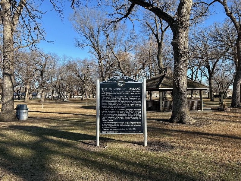
2. The Founding of Oakland Marker
Also see . . . History | City of Oakland. (Submitted on February 7, 2025.)
Credits. This page was last revised on July 13, 2025. It was originally submitted on February 7, 2025. This page has been viewed 339 times since then and 71 times this year. Photos: 1, 2. submitted on February 7, 2025.
