Zillebeke near Ypres in West-Vlaanderen, Flanders, Belgium — Northwestern Europe
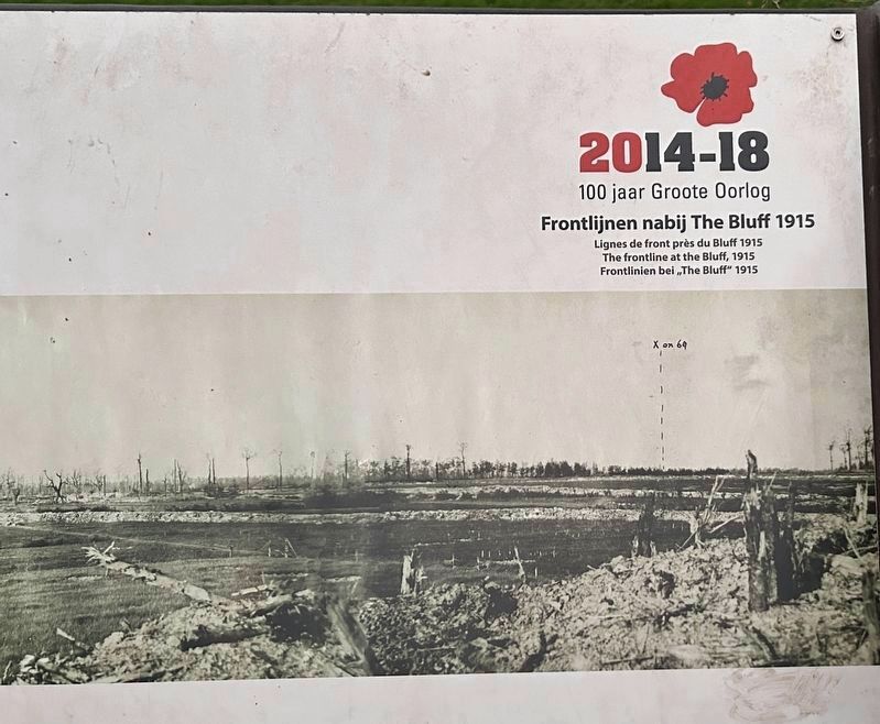
The Frontline at the Bluff, 1915
Frontlijnen nabij The Bluff 1915
Photographed by Steve Stoessel, November 14, 2024
1. The frontline at the Bluff, 1915 Marker

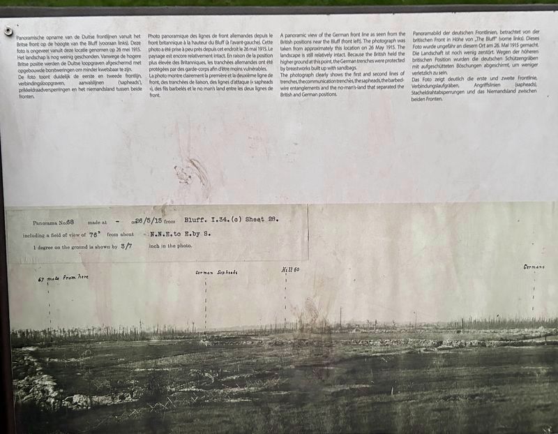
De foto toont duidelijk de eerste en tweede frontlijn, verbindingsloopgraven, aanvalslijnen (sapheads), prikkeldraadversperringen en het niemandsland tussen beide fronten.
La photo montre clairement la première et la deuxième ligne de front, des tranchées de liaison, des lignes d'attaque (« sapheads »), des fils barbelés et le no man's land entre les deux lignes de front.
this page online
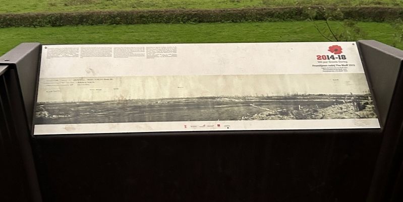
The photograph clearly shows the first and second lines of trenches, the communication trenches, the sapheads, the barbed-wire entanglements and the no-man's-land that separated the British and German positions.
Das Foto zeigt deutlich die erste und zweite Frontlinie, Verbindungslaufgräben, Angriffslinien (sapheads), Stacheldrahtabsperrungen und das Niemandsland zwischen beiden Fronten.
Topics. This historical marker is listed
Photographed by Steve Stoessel, November 14, 2024
2. The Frontline at the Bluff, 1915 Marker
Location. 50° 48.937′ N, 2° 54.909′ E. Marker is near Ypres, Vlaanderen (Flanders), in West-Vlaanderen. It is in Zillebeke. It can be reached from Palingbeekstraat. Marker is on the foot trail .3 mi from the parking lot at the end Palingbeekstraat. It’s in the park located there. Touch for map. Marker is at or near this postal address: Bernikkewallestraat 6, Ypres, Vlaanderen 8902, Belgium. Touch for directions.

Regionally, it is in Europe, the European Union, Atlantic Europe, the Benelux Low Countries, the Schengen Area, Western Europe, and the Western World. Historically, it finds itself in what was once the Roman Empire and specifically also the Holy Roman Empire.
Other nearby markers. At least 8 other markers are within walking distance of this marker: Kraterwand The Bluff 1916 (about 90 meters away, measured in a direct line); The Bluff in the 'Palingbeek' provincial park (about 150 meters away); De Ondergrondse Oorlog (about 180 meters away); Pierre Marchand Lucien Olivier (approx. 1.3 kilometers away); 15th Battalion Canadian Infantry (approx.
Photographed by Steve Stoessel, November 14, 2024
3. The Frontline at the Bluff, 1915 Marker
Photographed by Steve Stoessel, November 14, 2024
4. The Frontline at the Bluff, 1915 Marker
Credits. This page was last revised on February 13, 2025. It was originally submitted on February 13, 2025, by Steve Stoessel of Niskayuna, New York. This page has been viewed 113 times since then and 17 times this year. Photos: 1, 2, 3, 4. submitted on February 13, 2025, by Steve Stoessel of Niskayuna, New York.
