Canaan in Madison in Morgan County, Georgia — The American South (South Atlantic)
Dual System of Education
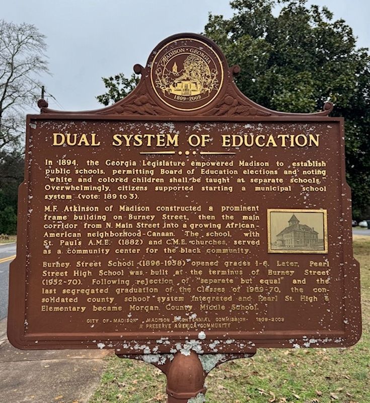
Photographed by Heather Cousins
1. Dual System of Education Marker
In 1894, the Georgia Legislature empowered Madison to establish public schools, permitting Board of Education elections and noting "white and colored children shall be taught at separate schools." Overwhelmingly, citizens supported starting a municipal school system (vote: 189 to 3).
M.F. Atkinson of Madison constructed a prominent frame building on Burney Street, then the main corridor from N. Main Street into a growing African American neighborhood--Canaan. The school, with St. Paul's A.M.E. (1882) and C.M.E. churches, served as a community center for the black community.
Burney Street School (1896-1958) opened grades 1-6. Later, Pearl Street High School was built at the terminus of Burney Street (1952-70). Following rejection of "separate but equal" and the last segregated graduation of the Classes of 1969-1970, the consolidated county school system integrated and Pearl St. High & Elementary became Morgan County Middle School.
Erected 2008 by Madison Bicentennial Commission.
Topics and series. This historical marker is listed in these topic lists: African Americans • Education. In addition, it
this page online
Location. 33° 36.072′ N, 83° 28.005′ W. Marker is in Madison, Georgia, in Morgan County. It is in Canaan. It is on Burney Street, on the right when traveling north. Touch for map. Marker is at or near this postal address: 484 Burney Street, Madison GA 30650, United States of America. Touch for directions.

Regionally, this marker is in the Antebellum Trail and in the Piedmont. It is also in the American South and specifically in the Deep South. Globally, it is in North America, the Western Hemisphere, the Western World, and the Anglosphere. Historically, it finds itself in what was once the territory of the Mississippian Culture, one of the original Thirteen Colonies, one of the Confederate States of America, and the Antebellum South.
Other nearby markers. At least 8 other markers are within walking distance of this marker: Madison Train Station (approx. 0.3 miles away); Madison Station (approx. 0.3 miles away); Railroad Street Commerce (approx. 0.3
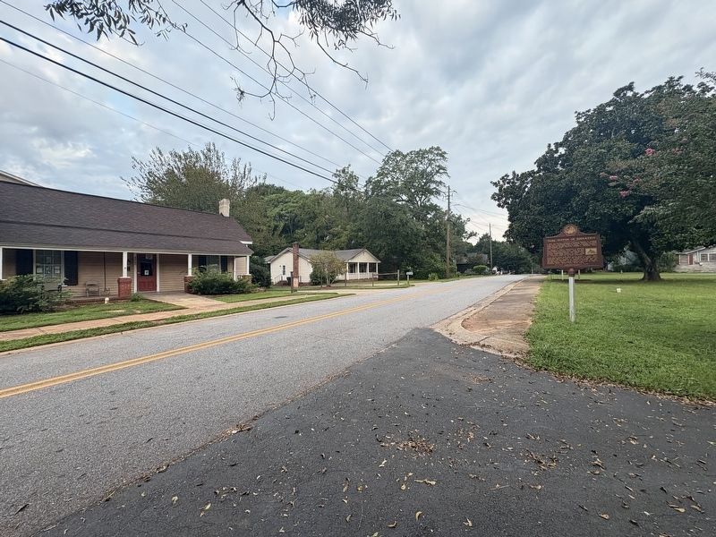
Photographed by Darren Jefferson Clay, August 30, 2025
2. Dual System of Education Marker
Credits. This page was last revised on September 2, 2025. It was originally submitted on February 13, 2025, by Heather Cousins of Madison, Georgia. This page has been viewed 418 times since then and 107 times this year. Photos: 1. submitted on February 13, 2025, by Heather Cousins of Madison, Georgia. 2. submitted on August 30, 2025, by Darren Jefferson Clay of Duluth, Georgia. • J. Makali Bruton was the editor who published this page.
