
Tecpán Guatemala, Chimaltenango, Guatemala — Central America
The Founding of Tecpán Guatemala
Photographed by J. Makali Bruton, June 24, 2017
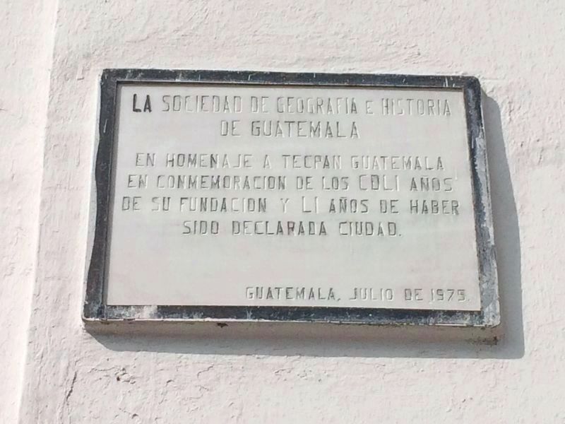
1. The Founding of Tecpán Guatemala Marker
This marker is mounted along the left of the facade of the Catholic Church of Tecpán.

En homenaje a Tecpán Guatemala en conmemoración de los CDLI años de su fundación y LI años de haber sido declarada ciudad.
Guatemala, julio de 1975.
The Society of Geography and History of Guatemala
In homage to Tecpán Guatemala in commemoration of the 451 years since its foundation and 51 years of having been declared a city.
Guatemala, July 1975.
Erected 1975 by La Sociedad de Geografia e Historia de Guatemala.
Topics. This historical marker is listed in this topic list: Settlements & Settlers. A significant historical month for this entry is July 1975.
Location. 14° 45.682′ N, 90° 59.491′ W. Marker is in Tecpán Guatemala, Chimaltenango. It is at the intersection of 1a Avenida and 1a Calle, on the right when traveling north on 1a Avenida. Touch for map. Touch for directions.

Regionally, it is in North America, specifically in Central America, in Mesoamerica, on the Ring of Fire, in the Pacific Rim, and in the Western Hemisphere. Historically, it finds itself in what was once New Spain and also a Spanish colony.
Other nearby markers. At least
this page online
Photographed by J. Makali Bruton, June 24, 2017
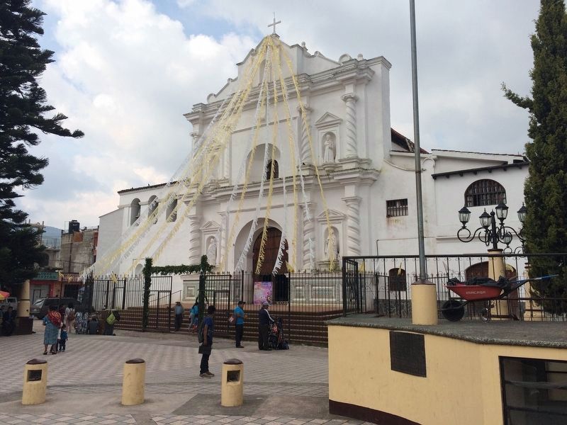
2. The Founding of Tecpán Guatemala Marker
This marker is to the left of the facade of the church.
Credits. This page was last revised on February 13, 2025. It was originally submitted on February 13, 2025, by J. Makali Bruton of Washington, District of Columbia. This page has been viewed 100 times since then and 11 times this year. Photos: 1, 2. submitted on July 10, 2017, by J. Makali Bruton of Washington, District of Columbia.
