James Store in Mathews County, Virginia — The American South (Mid-Atlantic)
Mathews County
⎯⎯⎯
Gloucester County
Photographed by Bernard Fisher, June 22, 2014
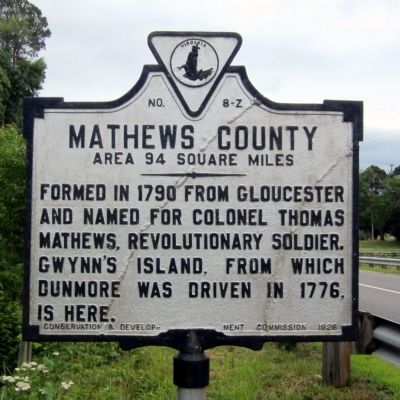
1. Mathews County Marker
Mathews County. Area 94 Square Miles. Formed in 1790 from Gloucester and named for Colonel Thomas Mathews, Revolutionary soldier. Gwynn's Island, from which Dunmore was driven in 1776, is here.
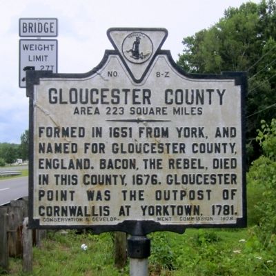
Gloucester County. Area 223 Square Miles. Formed in 1651 from York, and named for Gloucester County, England. Bacon, the Rebel, died in this county, 1676. Gloucester Point was the outpost of Cornwallis at Yorktown, 1781.
Erected 1928 by Conservation & Development Commission. (Marker Number Z-8.)
Topics and series. This historical marker is listed in these topic lists: Government & Politics • Political Subdivisions. In addition, it is included in the Virginia Department of Historic Resources (DHR) series list. A significant historical year for this entry is 1790.
Location. Marker has been reported missing. It was located near 37° 27.909′ N, 76° 26.781′ W. Marker was in James Store, Virginia, in Mathews County. It was on John Clayton Memorial Highway (Virginia Route 14) west of Windsor Road ( Route 3), on the right when traveling west. Touch for map. Marker was at or near this postal address: 10499 John Clayton Memorial
this page online

Regionally, this marker was on the Middle Peninsula and in the Hampton Roads Metropolitan Area. It was also in the American South, specifically in the Upper South, in the Tidewater, in the Chesapeake Bay Region, and on the Eastern Seaboard. Globally, it was in the North Atlantic Region, North America, the Western Hemisphere, the Western World, and the Anglosphere. Historically, it found itself in what was once the territory of the Mississippian Culture, one of the original Thirteen Colonies, one of the Confederate States of America, and the Antebellum South.
Other nearby markers. At least 8 other markers are within walking distance of this location: John Clayton, Botanist (about 500 feet away, measured in a direct line); Civil War In Mathews County (about 600 feet away); a different marker also named Civil War In Mathews County (about 600 feet away); a different marker also named Civil War In Mathews County (about 600 feet away); Fort Nonsense (about 800 feet away); Field Fortifications (about 800 feet away); Mathews County (approx. 0.2 miles away);
Photographed by Bernard Fisher, June 22, 2014
2. Gloucester County Marker
Photographed by Bernard Fisher, June 22, 2014
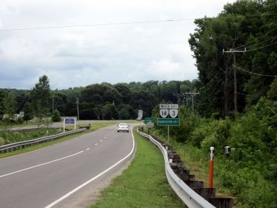
3. John Clayton Memorial Hwy (facing west)
Photographed by Bernard Fisher, June 22, 2014
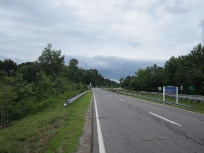
4. John Clayton Memorial Hwy (facing east)
Credits. This page was last revised on February 15, 2025. It was originally submitted on June 22, 2014, by Bernard Fisher of Richmond, Virginia. This page has been viewed 549 times since then and 24 times this year. Last updated on February 14, 2025, by Will Hrachovina of Newport News, Virginia. Photos: 1, 2, 3, 4. submitted on June 22, 2014, by Bernard Fisher of Richmond, Virginia. • Devry Becker Jones was the editor who published this page.
