Brownfield in Oxford County, Maine — The American Northeast (New England)
Brownfield Korea & Vietnam Memorial
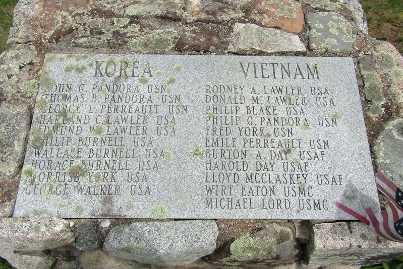
Photographed by Conrad Ward, May 23, 2024
1. Brownfield Korea & Vietnam Memorial
Topics. This memorial is listed in these topic lists: War, Korean • War, Vietnam.
Location. 43° 56.291′ N, 70° 54.485′ W. Memorial is in Brownfield, Maine, in Oxford County. It is at the intersection of Main Street (Maine Route 160) and Spring Street ( Route 160), on the left when traveling east on Main Street. Touch for map. Memorial is at or near this postal address: 229 Main St, Brownfield ME 04010, United States of America. Touch for directions.

Regionally, this memorial is in the Western Maine Lakes and Mountains Region. It is also in the American Northeast and in
this page online
Other nearby markers. At least 8 other markers are within 6 miles of this marker, measured as the crow flies: Brownfield World War I Memorial (here, next to this marker); Daniel A. Bean Monument (here, next to this marker); Brownfield World War II Memorial (here, next to this marker); Brownfield War Memorial (a few steps from this marker); Brownfield Historical Society (about 700 feet away, measured in a direct line); Brownfield: The Forest Fires of 1947 (approx. 0.2 miles away); The Colt-Browning M1895 (approx. 0.2 miles away); Denmark Civil War Soldiers' Monument (approx. 5.6 miles away). Touch for a list and map of all markers in Brownfield.
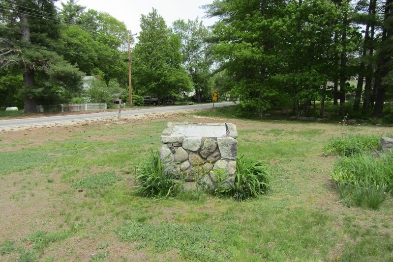
Photographed by Conrad Ward, May 23, 2024
2. Brownfield Korea & Vietnam Memorial
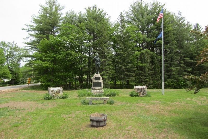
Photographed by Conrad Ward, May 23, 2024
3. Brownfield War Memorials
Credits. This page was last revised on March 1, 2025. It was originally submitted on February 16, 2025, by Conrad Ward of Guilford, Connecticut. This page has been viewed 114 times since then and 13 times this year. Photos: 1, 2, 3. submitted on February 16, 2025, by Conrad Ward of Guilford, Connecticut. • Devry Becker Jones was the editor who published this page.
