Brownfield in Oxford County, Maine — The American Northeast (New England)
Brownfield War Memorial

Photographed by Conrad Ward, May 23, 2024
1. Brownfield War Memorial
Edward Brown USA • Steven Day USAF • Ralph Lewis USA • C. Daniel Lane USN
Lebanon & Granada
Panama
David Eaton USMC
Persian Gulf
Topics. This memorial is listed in these topic lists: War, 1st Iraq & Desert Storm • War, Korean • War, Vietnam.
Location. 43° 56.286′ N, 70° 54.483′ W. Memorial is in Brownfield, Maine, in Oxford County. It is at the intersection of Spring Street (Maine Route 160) and Main Street, on the right when traveling north on Spring Street. Touch for map. Memorial is in this post office area: Brownfield ME 04010, United States of America. Touch for directions.

Regionally, this memorial is in the Western Maine Lakes and Mountains Region. It is also in the American Northeast and in New England. Globally, it is in North America, the Great North Woods, the Western Hemisphere, the Western World, and the Anglosphere.
Other nearby markers. At least 8 other markers are within 6 miles of
this page online
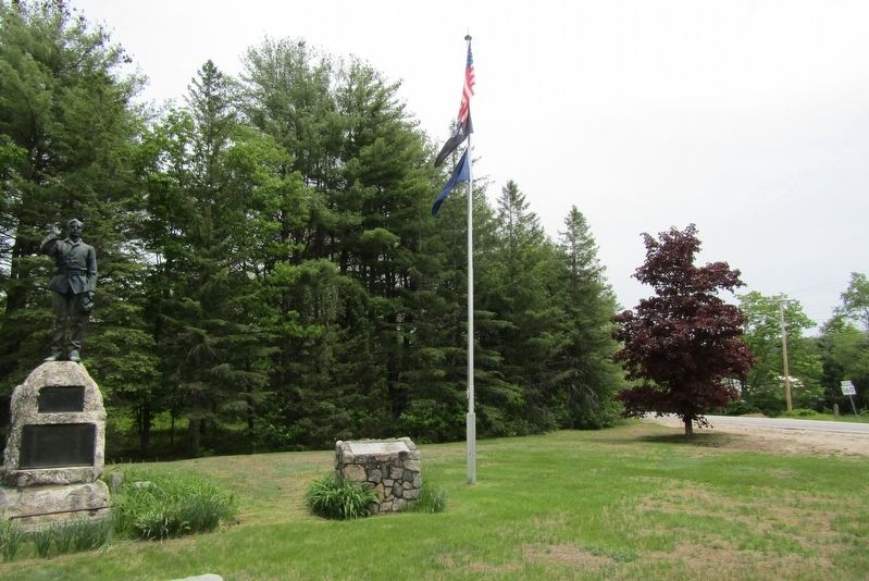
Photographed by Conrad Ward, May 23, 2024
2. Brownfield War Memorial
Credits. This page was last revised on February 17, 2025. It was originally submitted on February 16, 2025, by Conrad Ward of Guilford, Connecticut. This page has been viewed 139 times since then and 20 times this year. Photos: 1, 2. submitted on February 16, 2025, by Conrad Ward of Guilford, Connecticut. • J. Makali Bruton was the editor who published this page.
