Columbus in Polk County, North Carolina — The American South (South Atlantic)
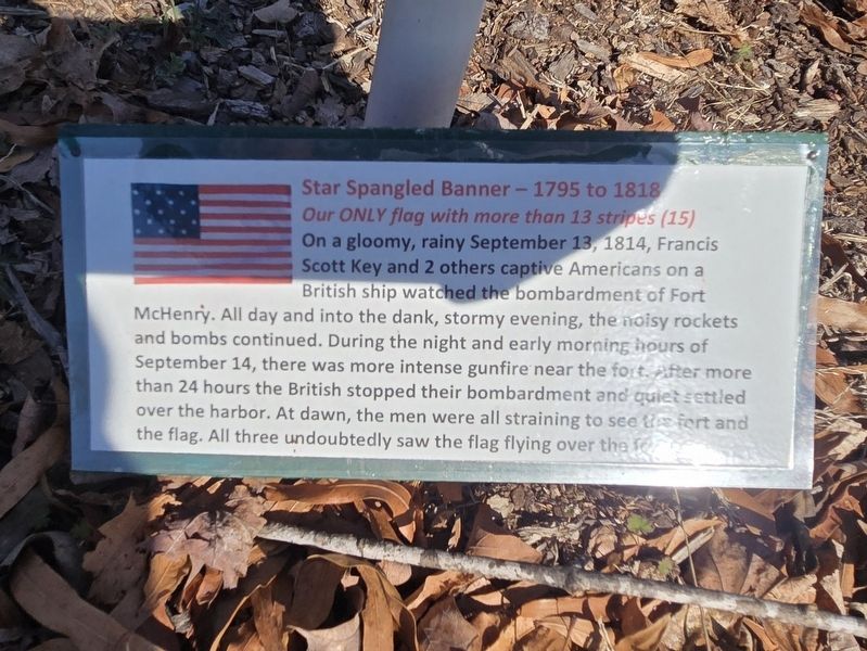
Star Spangled Banner - 1795 to 1818
Our only flag with more than 13 stripes (15)
Photographed by Mark Parker, February 7, 2025
1. Star Spangled Banner - 1795 to 1818 Marker
On a gloomy, rainy September 13, 1814, Francis Scott Key and 2 others captive Americans on a British ship watched the bombardment of Fort McHenry. All day and into the dank, stormy evening, the noisy rockets and bombs continued. During the night and early morning hours of September 14, there was more intense gunfire near the fort. After more than 24 hours the British stopped their bombardment and quiet settled over the harbor. At dawn, the men were all straining to see the fort and the flag. All three undoubtedly saw the flag flying over the fort.
Topics and series. This historical marker is listed in these topic lists: Communications • War of 1812. In addition, it is included in the Vexillology series list. A significant historical date for this entry is September 13, 1814.
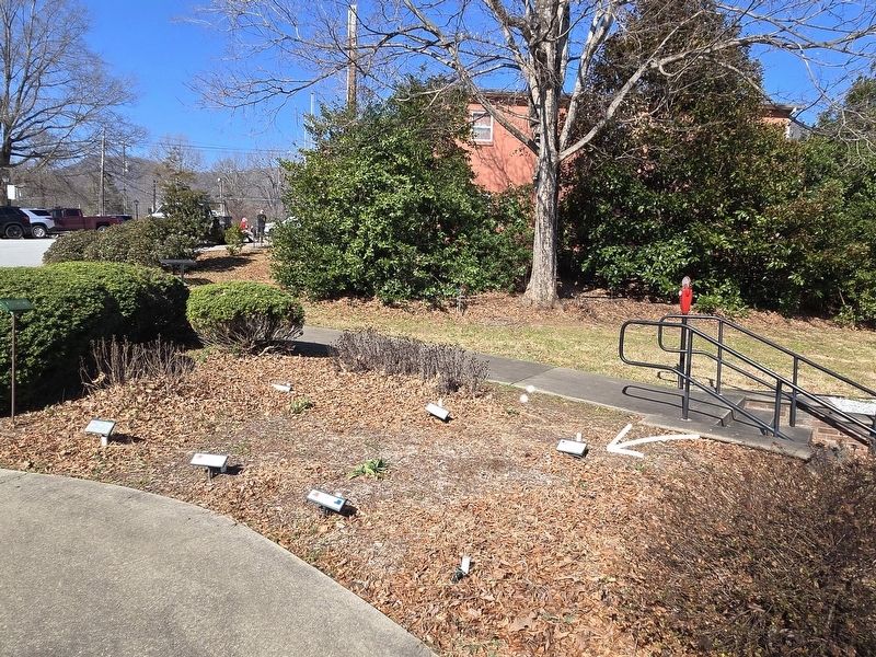
Location. 35° 15.108′ N, 82° 11.852′ W. Marker is in Columbus, North Carolina, in Polk County. It is on Gibson Street north of Ward Street, on the right when traveling north. The marker is a part of the display of historic flags at Veterans Park. They are in a planter at the west side of the park. Touch for map. Marker is at or near this postal address: 50 Gibson
this page online

Regionally, this marker is in the Mountains. It is also in the American South, specifically in the Upper South, in Appalachia, and specifically in Southern Appalachia. Globally, it is in North America, the Western Hemisphere, the Western World, and the Anglosphere. Historically, it finds itself in what was once the original Cherokee Nation, the territory of the Mississippian Culture, one of the original Thirteen Colonies, one of the Confederate States of America, and the Antebellum South.
Other nearby markers. At least 8 other markers are within walking distance of this marker: 1775 - Flag of New England (a.k.a. Bunker Hill Flag) (here, next to this marker); 1775 - Grand Union (Continental Colors) Flag (here, next to this marker); 1774 Taunton Flag (here, next to this marker); Polk County Civil War Memorial (here, next to this marker); 1765 - Sons of Liberty Flag (here, next to this marker); 1781 - Guilford Courthouse Flag (a few steps from this marker); 1776 - Betsy Ross Flag (a few steps from this marker); 1777 - Hopkinson Flag (a few steps from this
Photographed by Mark Parker, February 7, 2025
2. Full view of the north side of the historic flags markers. Star Spangled Banner indicated by arrow
Credits. This page was last revised on April 4, 2026. It was originally submitted on February 19, 2025, by Mark Parker of Hickory, North Carolina. This page has been viewed 109 times since then and 17 times this year. Photos: 1, 2. submitted on February 19, 2025, by Mark Parker of Hickory, North Carolina. • Bill Pfingsten was the editor who published this page.
