Brewster in Okanogan County, Washington — The American West (Northwest)
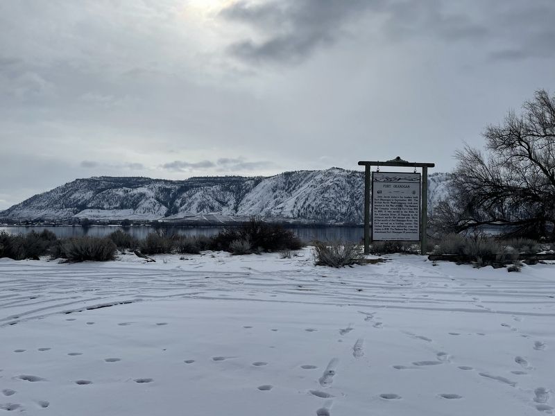
Fort Okanogan

Photographed by Mark Teshera, February 17, 2025
1. Fort Okanogan Marker
Erected by Washington State Highway Commission.
Topics. This historical marker is listed in these topic lists: Forts and Castles • Settlements & Settlers • War of 1812. A significant historical month for this entry is September 1811.
Location. 48° 6.144′ N, 119° 43.326′ W. Marker is in Brewster, Washington, in Okanogan County. It can be reached from Brewster Airport Road. Only the very top of the sign can be seen from the road, it's easy to miss. It can be seen by going down the road adjacent to the apple orchards and it's a short distance down the road. Touch for map. Marker is at or near this postal address: 21B Brewster Airport
this page online

Regionally, this marker is in the Okanogan Highlands. It is also in the American Mountain West and in the Lewis & Clark Corridor. Globally, it is in North America, in the Cascade Range, on the Pacific Rim, in the Western Hemisphere, in the Western World, and in the Anglosphere.
Other nearby markers. At least 8 other markers are within 12 miles of this marker, measured as the crow flies: Methow Rapids U-Bolt (approx. 8.8 miles away); Pateros Veterans (approx. 8.9 miles away); Wells Dam Construction (approx. 8.9 miles away); Methow Indians (approx. 8.9 miles away); Pateros in the 1950's (approx. 8.9 miles away); Ive's Landing Hotel (approx. 9 miles away); The China Ditch (approx. 9.1 miles away); The Chillowist Trail (approx. 11.2 miles away).
Photographed by Mark Teshera, February 17, 2025
2. Fort Okanogan Marker
Credits. This page was last revised on February 20, 2025. It was originally submitted on February 20, 2025, by Mark Teshera of Oroville, Washington. This page has been viewed 303 times since then and 36 times this year. Photos: 1, 2. submitted on February 20, 2025, by Mark Teshera of Oroville, Washington. • J. Makali Bruton was the editor who published this page.
