Boise State University District in Ada County, Idaho — The American West (Mountains)
Friendship Bridge
Treasuring the Past… Shaping the Future
| — | Boise State University | — |

Photographed by Douglass Halvorsen, June 27, 2023
1. Friendship Bridge Marker
The Bob Gibb Friendship Bridge, built in 1977, is a scenic gateway from campus to Boise’s Jula Davis Park. Partnerships in areas ranging from the arts and history to economic development allow both the city and university to grow and thrive.
Topics. This historical marker is listed in this topic list: Bridges & Viaducts. A significant historical year for this entry is 1977.
Location. 43° 36.3′ N, 116° 12.221′ W. Marker is in Boise, Idaho, in Ada County. It is in the Boise State University District. It is on West Cesar Chavez Lane, on the right when traveling west. Touch for map. Marker is at or near this postal address: 1987 W Cesar Chavez Ln, Boise ID 83725, United States of America. Touch for directions.

Regionally, this marker is on the Snake River Plain. It is also in the American Mountain West. Globally, it is in North America, the Western Hemisphere, the Western World, and the Anglosphere.
Other nearby markers. At least 8 other markers are within walking distance of this marker: In Memory (about 300 feet away, measured in a direct line); St. Margaret's Hall (about 400 feet away); a different marker also named
this page online
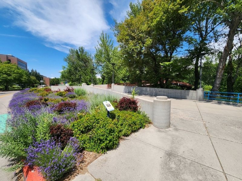
Photographed by Douglass Halvorsen, June 27, 2023
2. Friendship Bridge Marker

Photographed by Douglass Halvorsen, June 27, 2023
3. Friendship Bridge

Photographed by Douglass Halvorsen, June 27, 2023
4. Friendship Bridge Marker
Bob Gibb Friendship Bridge
In Memory of Robert S. Gibb
1912-1977
Governor Rotary International
District 542 Whose Life
Personified the Motto
"Service Above Self"
May 1980
In Memory of Robert S. Gibb
1912-1977
Governor Rotary International
District 542 Whose Life
Personified the Motto
"Service Above Self"
May 1980
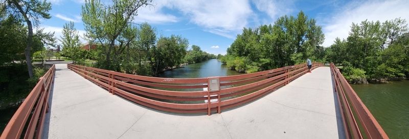
Photographed by Douglass Halvorsen, June 27, 2023
5. Friendship Bridge
Credits. This page was last revised on February 22, 2026. It was originally submitted on February 20, 2025, by Douglass Halvorsen of Klamath Falls, Oregon. This page has been viewed 1,119 times since then and 276 times this year. Photos: 1, 2, 3, 4, 5. submitted on February 20, 2025, by Douglass Halvorsen of Klamath Falls, Oregon. • J. Makali Bruton was the editor who published this page.
