
Near Big Sandy in Upshur County, Texas — The American South (West South Central)
Upshur County
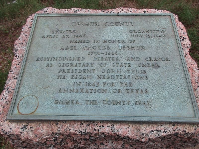
Photographed by Jeff Leichsenring, August 26, 2025
1. Upshur County Marker
Organized July 13, 1846
Named in honor of Abel Packer Upshur
1790-1844
Distinguished debater and orator.
As Secretary of State under
President John Tyler
he began negotiations
in 1843 for the
annexation of Texas.
Gilmer, the county seat
Erected 1936 by the State of Texas. (Marker Number 11349.)
Topics and series. This historical marker is listed in this topic list: Political Subdivisions. In addition, it is included in the Texas 1936 Centennial Markers and Monuments series list. A significant historical date for this entry is April 27, 1846.
Location. 32° 36.563′ N, 95° 5.231′ W. Marker is near Big Sandy, Texas, in Upshur County. It is on State Highway 155 0.1 miles south of Farm to Market Road 1002, on the right when traveling north. Touch for map. Marker is in this post office area: Big Sandy TX 75755, United States of America. Touch for directions.

Regionally, this marker is in the American South, specifically in the Deep South, and in the Piney Woods. Globally, it is in North America, a Gulf of Mexico state, the Western Hemisphere, the Western World, and the Anglosphere. Historically,
this page online
Other nearby markers. At least 8 other markers are within 9 miles of this marker, measured as the crow flies: The Ashley Phelps Home (approx. 2.1 miles away); New Hope Missionary Baptist Church (approx. 2.6 miles away); Henry "Ragtime Texas" Thomas (approx. 4.2 miles away); Pritchett Normal Institute (approx. 5.6 miles away); Jarvis Christian College (approx. 5.7 miles away); The Kay House (approx. 8.4 miles away); Gladewater (approx. 8.9 miles away); Pinkston Cemetery (approx. 8.9 miles away). Touch for a list and map of all markers in Big Sandy.
Also see . . . Upshur County - The Handbook of Texas Online. Texas State Historical Association (TSHA) (Submitted on February 23, 2025, by Brian Anderson of New Albany, Ohio.)
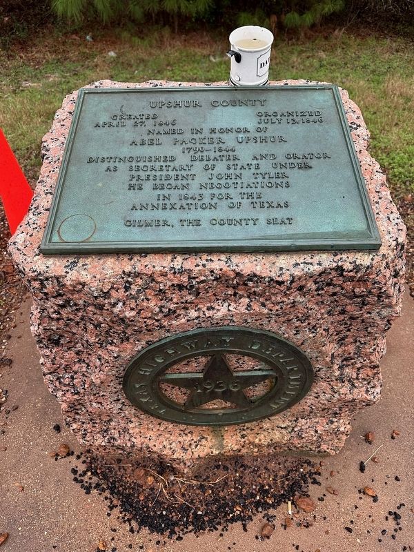
Photographed by Brian Anderson, February 15, 2025
2. Upshur County Marker
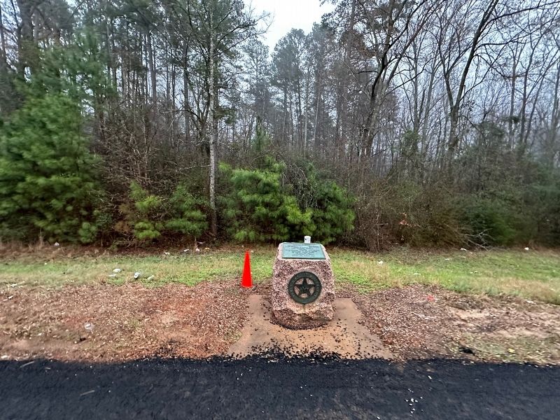
Photographed by Brian Anderson, February 15, 2025
3. Upshur County Marker
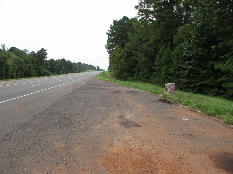
Photographed by Jeff Leichsenring, August 26, 2025
4. Upshur County Marker
Credits. This page was last revised on September 6, 2025. It was originally submitted on February 23, 2025, by Brian Anderson of New Albany, Ohio. This page has been viewed 419 times since then and 79 times this year. Photos: 1. submitted on September 4, 2025, by Jeff Leichsenring of Garland, Texas. 2, 3. submitted on February 23, 2025, by Brian Anderson of New Albany, Ohio. 4. submitted on September 4, 2025, by Jeff Leichsenring of Garland, Texas.
