
Downtown in Waco in McLennan County, Texas — The American South (West South Central)
The Silos
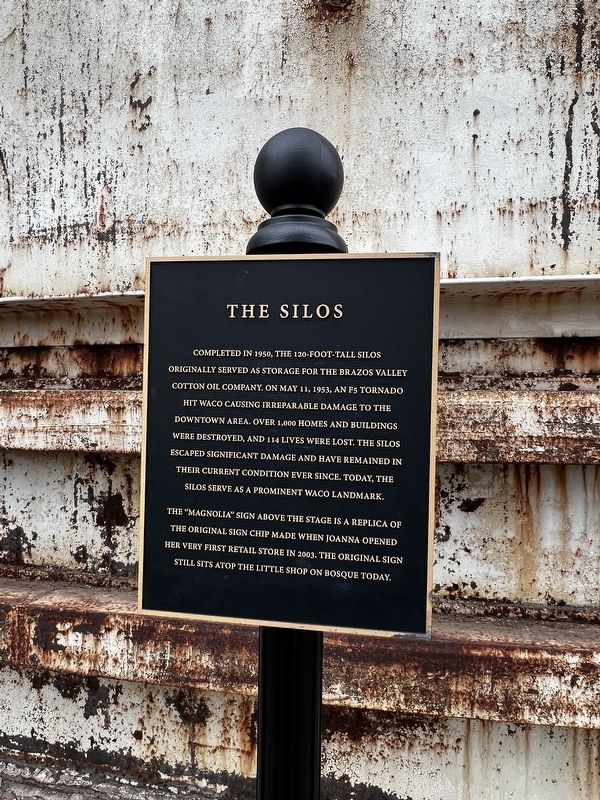
Photographed by Sandra Hughes Tidwell, February 21, 2025
1. The Silos Marker
Topics. This historical marker is listed in this topic list: Industry & Commerce. A significant historical year for this entry is 1950.
Location. 31° 33.178′ N, 97° 7.781′ W. Marker is in Waco, Texas, in McLennan County. It is in Downtown. It is at the intersection of Webster Avenue and S 6th Street on Webster Avenue. Touch for map. Marker is at or near this postal address: 601 Webster Ave, Waco TX 76706, United States of America. Touch for directions.

Regionally, this marker is in the Prairies & Lakes Region. It
this page online
Other nearby markers. At least 8 other markers are within walking distance of this marker: History of the Grounds (here, next to this marker); The Grain Barn (a few steps from this marker); Silos Baking Co. (within shouting distance of this marker); The Old Church (about 400 feet away, measured in a direct line); First Baptist Church of Waco (about 500 feet away); Katy Park (about 600 feet away); DP Neon Sign & Old AMBC Building (about 700 feet away); Dr Pepper Co Boiler & Painted Dr Pepper Sign (about 700 feet away). Touch for a list and map of all markers in Waco.
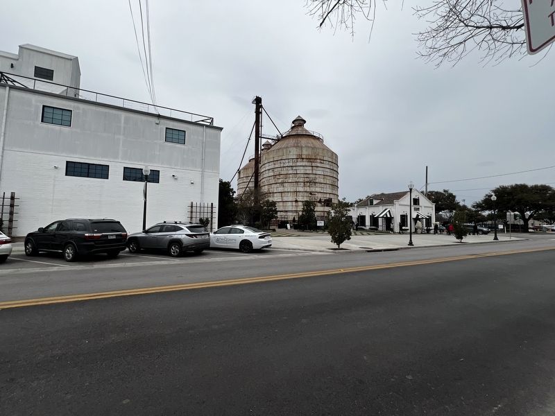
Photographed by Sandra Hughes Tidwell, February 21, 2025
2. The Silos Marker
Credits. This page was last revised on February 27, 2025. It was originally submitted on February 27, 2025, by Sandra Hughes Tidwell of Killen, Alabama, USA. This page has been viewed 305 times since then and 53 times this year. Photos: 1, 2. submitted on February 27, 2025, by Sandra Hughes Tidwell of Killen, Alabama, USA. • James Hulse was the editor who published this page.
