University of Texas at Austin in Travis County, Texas — The American South (West South Central)
Santa Rita No. 1

Photographed by James Hulse, February 21, 2025
1. Santa Rita No. 1 Marker
Topics. This historical marker is listed in this topic list: Industry & Commerce. A significant historical date for this entry is May 28, 1923.
Location. 30° 16.806′ N, 97° 44.081′ W. Marker is in Austin, Texas, in Travis County. It is in University of Texas at Austin. It is at the intersection of San Jacinto Blvd and Trinity Street, on the left when traveling west on San Jacinto Blvd. The marker is located west of the Jamail Texas Swimming Center. Touch for map. Marker is in this post office area: Austin TX 78712, United States of America. Touch for directions.

Regionally, this marker is in Central Texas. It is also in the American South. Globally, it is in North America,
this page online
Other nearby markers. At least 8 other markers are within walking distance of this marker: The Events (a few steps from this marker); a different marker also named Santa Rita No. 1 (within shouting distance of this marker); Scholz Garten (approx. 0.2 miles away); Prairies and Lakes (approx. 0.2 miles away); Heman Sweatt Campus (approx. ¼ mile away); Moses Austin (approx. ¼ mile away); Remembering Courage... Dedication... Sacrifice... (approx. ¼ mile away); French Legation State Historic Site (approx. 0.3 miles away). Touch for a list and map of all markers in Austin.
Also see . . . Santa Rita Oil Well. Texas State Historical Association (Submitted on February 28, 2025, by James Hulse of Medina, Texas.)
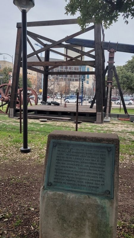
Photographed by James Hulse, February 21, 2025
2. The Santa Rita No. 1 and Marker
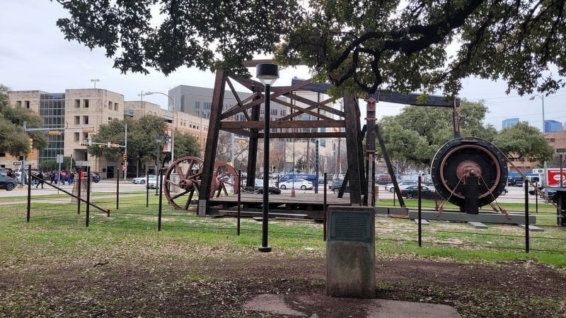
Photographed by James Hulse, February 21, 2025
3. Santa Rita No. 1 Marker
Credits. This page was last revised on February 28, 2025. It was originally submitted on February 28, 2025, by James Hulse of Medina, Texas. This page has been viewed 181 times since then and 28 times this year. Photos: 1, 2, 3. submitted on February 28, 2025, by James Hulse of Medina, Texas.
