University of Texas at Austin in Travis County, Texas — The American South (West South Central)
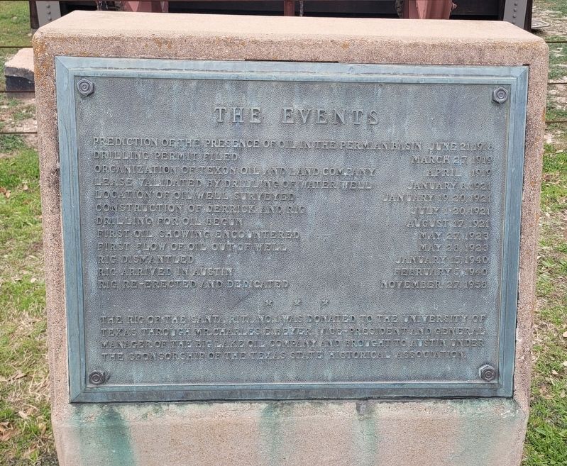
The Events
Santa Rita No. 1
Photographed by James Hulse, February 21, 2025
1. The Events Marker
Prediction of the presence of oil in the Permian Basin - June 21, 1916
Drilling permit filed - March 27, 1919
Organization of Texon Oil and Land Company - April 1919
Lease validated by drilling of water well - January 8, 1921
Location of oil well surveyed - January 19, 20, 1921
Construction of derrick and rig - July 1-20, 1921
Drilling for oil begun - August 17, 1921
First oil showing encountered - May 27, 1923
First flow of oil out of well - May 28, 1923
Rig dismantled - January 15, 1940
Rig arrived in Austin - February 5, 1940
Rig re-erected and dedicated - November 27, 1958
The rig of the Santa Rita No. 1 was donated to the University of Texas through Mr. Charles E. Beyer, Vice-President and General Manager of the Big Lake Oil Company and brought to Austin under the sponsorship of the Texas State Historical Association.
Erected by Texas State Historical Association.
Topics. This historical marker is listed in this topic list: Industry & Commerce. A significant historical date for this entry is January 8, 1921.
Location. 30° 16.797′ N, 97° 44.075′ W. Marker is in Austin, Texas, in Travis County. It is
this page online

Regionally, this marker is in Central Texas. It is also in the American South. Globally, it is in North America, a Gulf of Mexico state, the Western Hemisphere, the Western World, and the Anglosphere. Historically, it finds itself in what was once New Spain, the Republic of Texas, one of the Confederate States of America, and the Antebellum South.
Other nearby markers. At least 8 other markers are within walking distance of this marker: Santa Rita No. 1 (a few steps from this marker); a different marker also named Santa Rita No. 1 (a few steps from this marker); Scholz Garten (approx. 0.2 miles away); Prairies and Lakes (approx. 0.2 miles away); Heman Sweatt Campus (approx. ¼ mile away); Moses Austin (approx. ¼ mile away); Remembering Courage... Dedication... Sacrifice... (approx. ¼ mile away); French Legation State Historic Site
Photographed by James Hulse, February 21, 2025
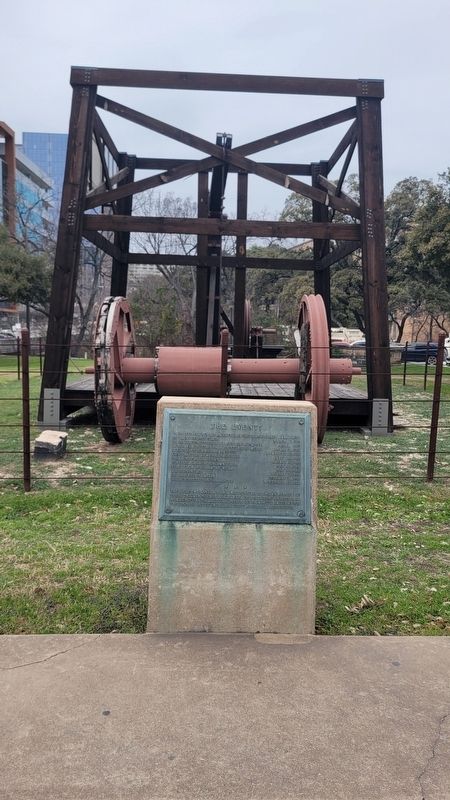
2. The Events Marker and Santa Rita No. 1
Also see . . . Santa Rita Oil Well. Texas State Historical Association (Submitted on February 28, 2025, by James Hulse of Medina, Texas.)
Photographed by James Hulse, February 21, 2025
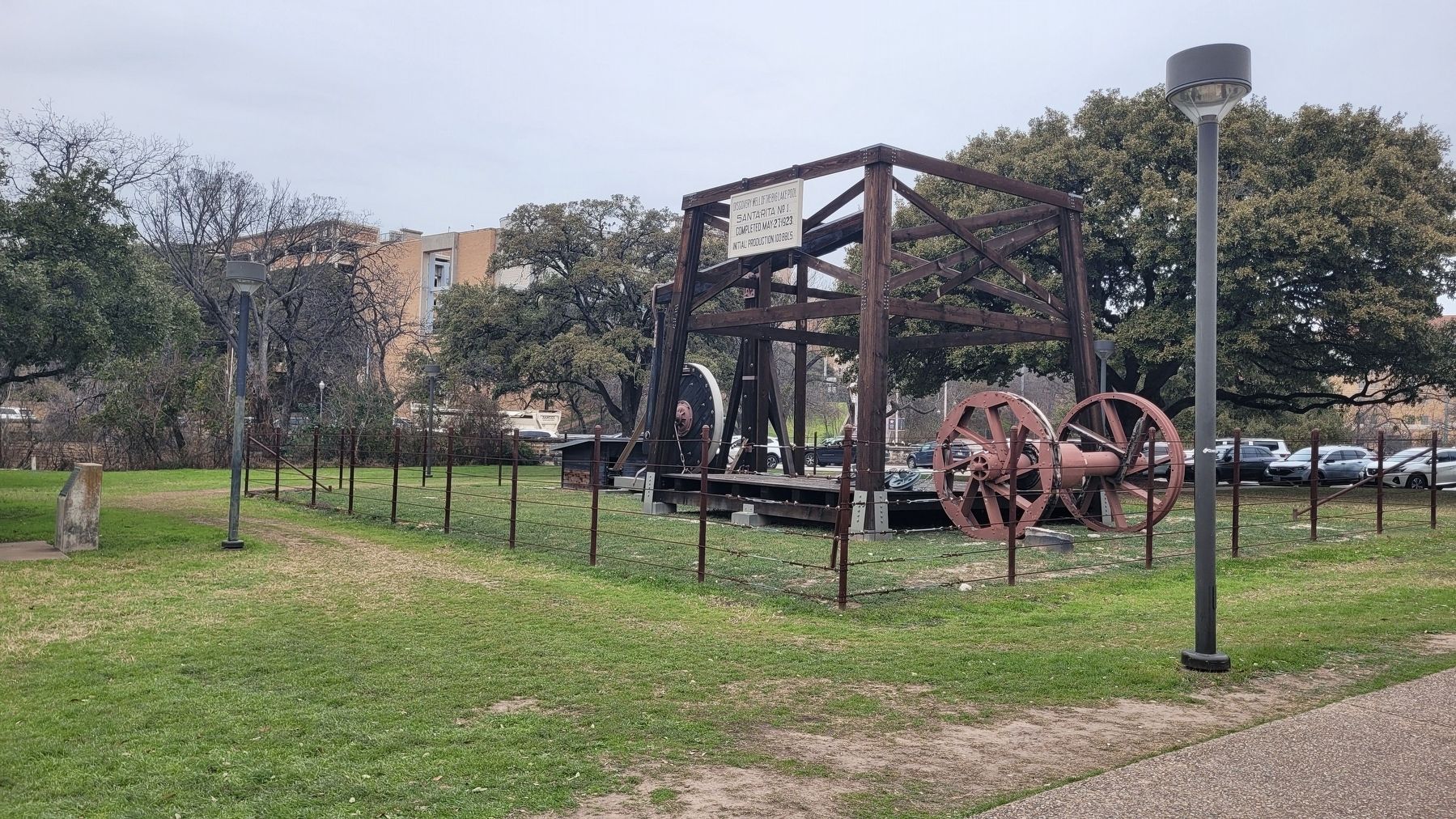
3. Santa Rita No.1
Credits. This page was last revised on February 28, 2025. It was originally submitted on February 28, 2025, by James Hulse of Medina, Texas. This page has been viewed 148 times since then and 28 times this year. Photos: 1, 2, 3. submitted on February 28, 2025, by James Hulse of Medina, Texas.
