Fort Eustis in Newport News, Virginia — The American South (Mid-Atlantic)
Cobra Helicopter
Photographed by Evan Dwyer, May 4, 2024
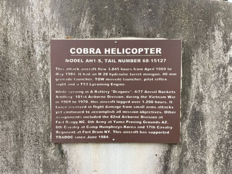
1. Cobra Helicopter Marker
Model AH1-S, Tail Number 68-15127
This attack aircraft flew 3.845 hours from April 1969 to May 1984. It had an M-28 hydraulic turret minigun, 40mm grenade launcher, TOW missile launcher, pilot reflex sight and a T53 Lycoming Engine.
While serving in A Battery "Dragons", 4/77 Aerial Rockets Artillery, 101st Airborne Division, during the Vietnam War in 1969 to 1970, this aircraft logged over 1,200 hours. It twice received in flight damage from small arms attacks yet continued to accomplish all mission objectives. Other assignments included the 82nd Airborne Division at Fort Bragg NC, 6th Army at Yuma Proving Grounds-AZ, 6th Cavalry at Camp Humphreys-Korea and 17th Cavalry Regiment at Fort Drum-NY. This aircraft has supported TRADOC since June 1984.
Erected by Fort Eustis Historical and Archaeological Association.
Topics. This historical marker is listed in these topic lists: Air & Space • War, Vietnam. A significant historical month for this entry is April 1969.
Location. 37° 8.93′ N, 76° 34.775′ W. Marker is in Newport News, Virginia. It is in Fort Eustis. It is on McLain Street, on the left when traveling west. This
this page online

Regionally, this marker is on Virginia’s Peninsula, in Hampton Roads, in Coastal Virginia, and in the Hampton Roads Metropolitan Area. It is also in the American South, specifically in the Upper South, in the Tidewater, and on the Eastern Seaboard. Globally, it is in the North Atlantic Region, North America, the Western Hemisphere, the Western World, and the Anglosphere. Historically, it finds itself in what was once the territory of the Mississippian Culture, one of the original Thirteen Colonies, one of the Confederate States of America, and the Antebellum South.
Other nearby markers. At least 8 other markers are within one mile of this marker, measured as the crow flies: Magruder Defense Line (approx. 0.7 miles away); Glebe Lands (approx. one mile away); YAC-1 / CV-2 / CV-7 Caribou
Photographed by Evan Dwyer, May 4, 2024
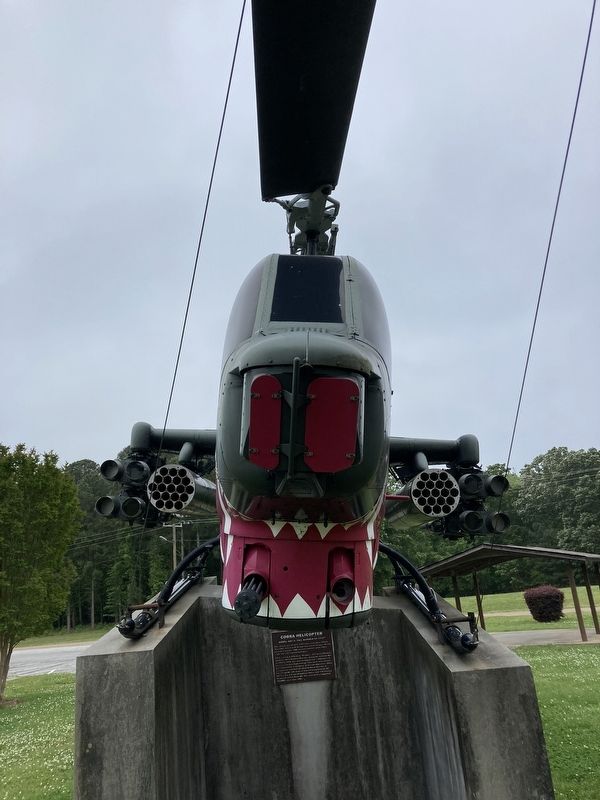
2. Cobra Helicopter Marker
Marker is on the concrete support for this helicopter.
Photographed by Evan Dwyer, May 4, 2024
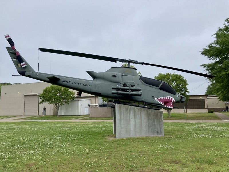
3. Cobra Helicopter
This is the side of the helicopter that faces away from the road. The marker is on the concrete base under the nose of the aircraft.
Credits. This page was last revised on March 8, 2025. It was originally submitted on March 5, 2025, by Evan Dwyer of Richmond, Virginia. This page has been viewed 173 times since then and 28 times this year. Photos: 1, 2, 3. submitted on March 5, 2025, by Evan Dwyer of Richmond, Virginia. • Andrew Ruppenstein was the editor who published this page.
