Columbia in Monroe County, Illinois — The American Midwest (Great Lakes)
Millstadt Junction (0)
| — | GM & O Railroad Heritage Trail | — |
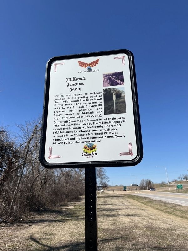
Photographed by Thomas Smith, March 10, 2025
1. Millstadt Junction (0) Marker
Erected by Columbia Illinois.
Topics. This historical marker is listed in this topic list: Railroads & Streetcars. A significant historical year for this entry is 1883.
Location. 38° 27.741′ N, 90° 13.188′ W. Marker is in Columbia, Illinois, in Monroe County. It is on Quarry Road 0.1 miles east of Ghent Road, on the right when traveling east. Across from Midland States Bank. Touch for map. Marker is at or near this postal address: 200 Quarry Rd, Columbia IL 62236, United States of America. Touch for directions.

Regionally,
this page online
Other nearby markers. At least 8 other markers are within walking distance of this marker: Milepost 632 (a few steps from this marker); Four-Bent Pile trestle (about 400 feet away, measured in a direct line); Palmier Cemetery (approx. ¼ mile away); a different marker also named Palmier Cemetery (approx. ¼ mile away); Sand Bank School (approx. ¼ mile away); Bell Tower (approx. half a mile away); American Freedom Fighter and Palestinian Girl (approx. 0.9 miles away); Piggot's Fort Great Run (approx. 0.9 miles away). Touch for a list and map of all markers in Columbia.
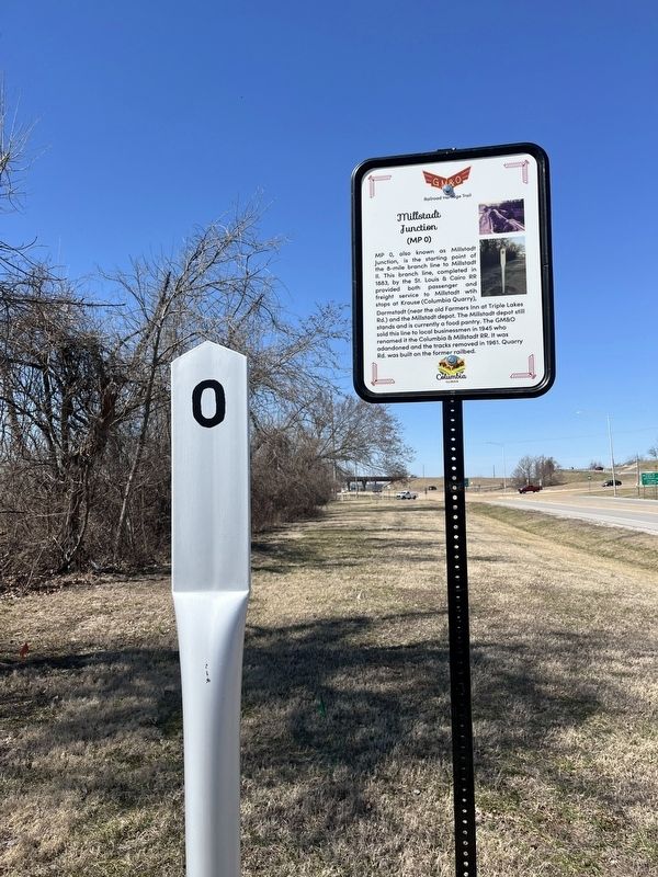
Photographed by Thomas Smith, March 10, 2025
2. Millstadt Junction (0) Marker
Credits. This page was last revised on March 31, 2025. It was originally submitted on March 10, 2025, by Thomas Smith of Waterloo, Ill. This page has been viewed 214 times since then and 64 times this year. Photos: 1, 2. submitted on March 10, 2025, by Thomas Smith of Waterloo, Ill. • Devry Becker Jones was the editor who published this page.
