Gorham in Cumberland County, Maine — The American Northeast (New England)
These Millstones

Photographed by Conrad Ward, September 29, 2024
1. These Millstones Marker
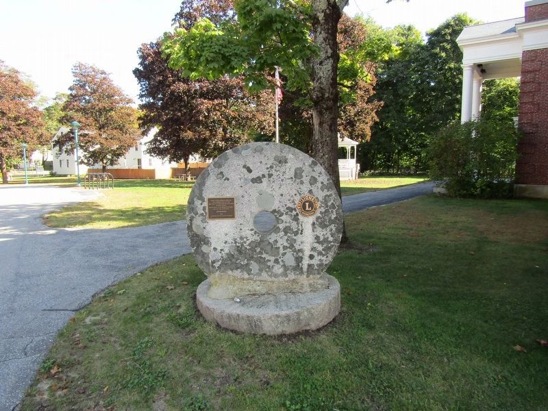
These stones formerly owned by the Clements family in 1804 were used to grind corn on Little River in West Gorham
Gift to town by the Manchester family for the 1936 bicentennial
2009
Gorham Lions restoration project
Erected 2009 by Gorham Lions Club.
Topics. This historical marker is listed in this topic list: Industry & Commerce. A significant historical year for this entry is 1804.
Location. 43° 40.614′ N, 70° 26.546′ W. Marker is in Gorham, Maine, in Cumberland County. It can be reached from South Street. Located near the Gorham Town Offices. Touch for map. Marker is at or near this postal address: 75 South Street, Gorham ME 04038, United States of America. Touch for directions.

Regionally, this marker is in Greater Portland. It is also in the American Northeast, in New England, and on the Eastern Seaboard. Globally, it is in the North Atlantic Region, North America, the Western Hemisphere, the Western World, and the Anglosphere.
Other nearby markers. At least 8 other markers are within 2 miles of this marker, measured as the crow flies: Baxter House (within shouting distance of this marker);
this page online
Photographed by Conrad Ward, September 29, 2024
2. Millstones and marker
Credits. This page was last revised on April 22, 2025. It was originally submitted on March 10, 2025, by Conrad Ward of Guilford, Connecticut. This page has been viewed 94 times since then and 13 times this year. Photos: 1, 2. submitted on March 10, 2025, by Conrad Ward of Guilford, Connecticut. • Andrew Ruppenstein was the editor who published this page.
