Marker Logo
THE HISTORICAL
MARKER DATABASE
“Bite-Size Bits of Local, National, and Global History”
Wartrace in Bedford County, Tennessee — The American South (East South Central)
 

Bandstand
 
 
Bandstand Marker image. Click for full size.
Photographed by Duane and Tracy Marsteller, March 9, 2025
1. Bandstand Marker
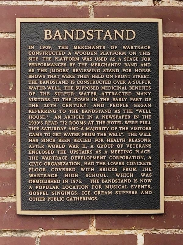
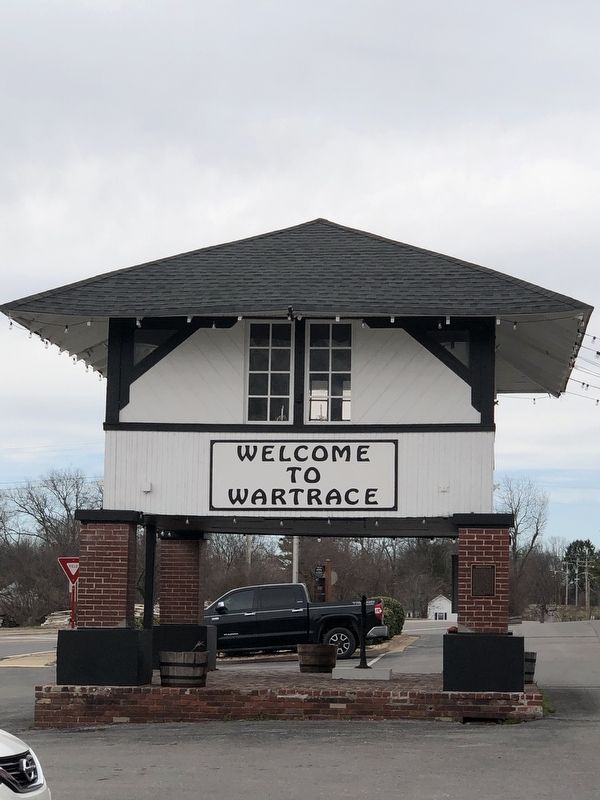
Inscription. In 1909, the merchants of Wartrace constructed a wooden platform on this site. The platform was used as a stage for performances by the merchants' band and as the judges' reviewing stand for horse shows that were then held on Front Street. The bandstand is constructed over a sulfur water well. The supposed medicinal benefits of the sulfur water attracted many visitors to the town in the early part of the 20th century, and people began referring to the bandstand as the “well house.” An article in a newspaper in the 1930's read “32 rooms at the hotel were full this Saturday and a majority of the visitors came to get water from the well.” The well has since been sealed for health reasons. After World War II, a group of veterans enclosed the upstairs as a meeting place. The Wartrace Development Corporation, a civic organization, had the lower concrete floor covered with bricks from the Wartrace High School, which was demolished in 1976. The bandstand is now a popular location for musical events, gospel singings, ice cream suppers and other public gatherings.
 
Topics and series. This historical marker is listed in this
Paid Advertisement
Click or scan to see
this page online
topic list: Notable Buildings. In addition, it is included in the National Register of Historic Places (NRHP) series list. A significant historical year for this entry is 1909.
 
Location. 35° 31.664′ N, 86° 20.004′ W. Marker is in Wartrace, Tennessee, in Bedford County. It is at the intersection of Church Street (Tennessee Route 269) and Blackman Boulevard East, on the right when traveling west on Church Street. Touch for map. Marker is at or near this postal address: 20 Church St, Wartrace TN 37183, United States of America. Touch for directions.

Regionally, this marker is in Middle Tennessee. It is also in the American South and specifically in the Upper South. Globally, it is in North America, the Western Hemisphere, the Western World, and the Anglosphere. Historically, it finds itself in what was once the territory of the Mississippian Culture, one of the Confederate States of America, and the Antebellum South.

Other nearby markers. At least 8 other markers are within walking distance of this marker: Jimmy Cleveland (within shouting distance of this marker); Strolling Jim (about 300 feet away, measured in a direct line); Andrew Jackson
Bandstand Marker image. Click for full size.
Photographed by Duane and Tracy Marsteller, March 9, 2025
2. Bandstand Marker
(about 400 feet away); "Dedicated to Those Brave & Gallant Soldiers in Butternut & Gray"! (about 400 feet away); Skirmish at Liberty Gap (about 400 feet away); Tullahoma Campaign (about 400 feet away); Wartrace (approx. 0.2 miles away); Skirmish at Wartrace (approx. Ό mile away). Touch for a list and map of all markers in Wartrace.
 
Also see . . .  Wartrace Historic District (PDF). National Register of Historic Places nomination for the district, which includes the bandstand as a contributing structure and was listed in 1991. (Prepared by Louis Jackson and Elizabeth A. Straw; via National Archives) (Submitted on March 10, 2025, by Duane and Tracy Marsteller of Murfreesboro, Tennessee.) 
 
 
Credits. This page was last revised on March 14, 2025. It was originally submitted on March 10, 2025, by Duane and Tracy Marsteller of Murfreesboro, Tennessee. This page has been viewed 168 times since then and 28 times this year. Photos:   1, 2. submitted on March 10, 2025, by Duane and Tracy Marsteller of Murfreesboro, Tennessee.

m=267842

CeraNet Cloud Computing sponsors the Historical Marker Database.
This website earns income from purchases you make after using our links to Amazon.com. We appreciate your support.
Paid Advertisement
Jul. 25, 2026