Woodland Heights in Houston in Harris County, Texas — The American South (West South Central)
Woodland Heights Community
Photographed by James Hulse, November 3, 2023
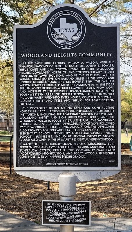
1. Woodland Heights Community Marker
The developers began selling land and constructing houses in 1907. Residents soon organized community institutions, including the Beauchamp Springs Presbyterian, Woodland Baptist and Zion Lutheran churches, and the Woodland Masonic Lodge #1157, A.F. & A.M. The Woodland Heights Garden Club later developed, which was followed by the Woodland Heights Civic Association. The developers also provided for education by deeding land to the Travis Elementary School (previously Beauchamp Springs Public School) businesses, including several grocery stores, would also open in the primarily residential neighborhood.
Many of the neighborhood's historic structures, built between 1907 and 1925, and reflecting arts and crafts and bungalow styles, remain. The community was later incorporated into Houston, and today, Woodland Heights continues to be a thriving neighborhood.
2nd Plaque
In 1903, Houston City limits expanded to Pecore Street. Full city services, trolley access and easy home payment plans assured success for the Woodland Heights Development.
Erected 2008 by Texas Historical Commission.
this page online
Topics. This historical marker is listed in these topic lists: Industry & Commerce • Settlements & Settlers. A significant historical year for this entry is 1907.
Location. 29° 47.213′ N, 95° 22.396′ W. Marker is in Houston, Texas, in Harris County. It is in Woodland Heights. It is at the intersection of Bayland Avenue and Morrison Street, on the right when traveling west on Bayland Avenue. Touch for map. Marker is in this post office area: Houston TX 77009, United States of America. Touch for directions.

Regionally, this marker is in the American South and on the Gulf Coast. Globally, it is in North America, a Gulf of Mexico state, the Western Hemisphere, the Western World, and the Anglosphere. Historically, it finds itself in what was once New Spain, the Republic of Texas, one of the Confederate States of America, and the Antebellum South.
Other nearby markers. At least 8 other markers are within walking distance of this marker: Hollywood Cemetery (approx. ¼ mile away); Zion Lutheran Church (approx. ¼ mile away); St. Mark's United Methodist Church (approx. 0.4 miles away); Hortense Sparks Malsch Ward
Photographed by Alex Brogan, March 12, 2025
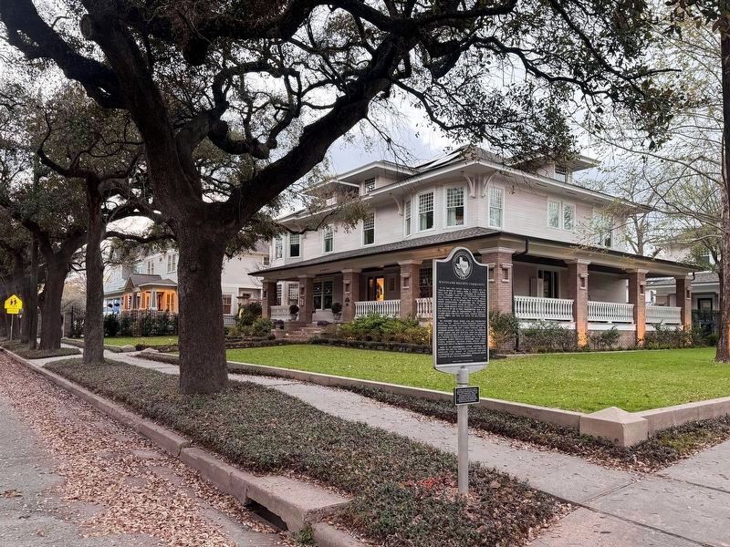
2. Woodland Heights Community Marker - new location
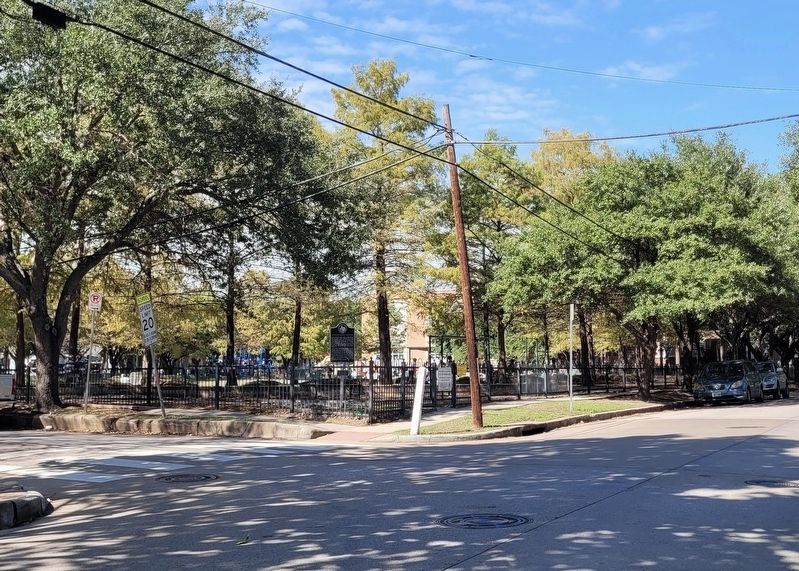
More about this marker. The marker was moved from the southeastern corner of Travis Elementary SPARK Park to its current location in March 2025.
Also see . . . History - The Woodland Heights. Woodland Heights Civic Association
Woodland Heights was born in 1907 on 106 acres of high ground just north of downtown Houston and White Oak Bayou. Developers were attracted to the area by nearby Woodland Park (then called Highland Park), a popular 30-acre spot with a lake and other amenities that drew visitors from across the city.(Submitted on November 7, 2023, by James Hulse of Medina, Texas.)
From the start, Woodland Heights was envisioned as a special neighborhood with easy access to downtown jobs and shopping. The William Wilson Realty Company platted the land as a streetcar suburb because of the proximity of Houston Electric Company public transportation. Streetcars ran through the neighborhooduntil bus service was introduced in 1939.Photographed by James Hulse, November 3, 20233. The view of the Woodland Heights Community Marker in the park - old location
Credits. This page was last revised on March 14, 2025. It was originally submitted on November 6, 2023, by James Hulse of Medina, Texas. This page has been viewed 708 times since then and 74 times this year. Last updated on March 11, 2025, by Alex Brogan of Houston, Texas. Photos: 1. submitted on November 7, 2023, by James Hulse of Medina, Texas. 2. submitted on March 13, 2025, by Alex Brogan of Houston, Texas. 3. submitted on November 7, 2023, by James Hulse of Medina, Texas.
