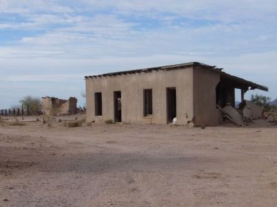
Near Florence in Pinal County, Arizona — The American Mountains (Southwest)
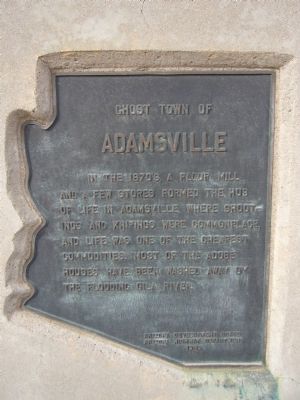
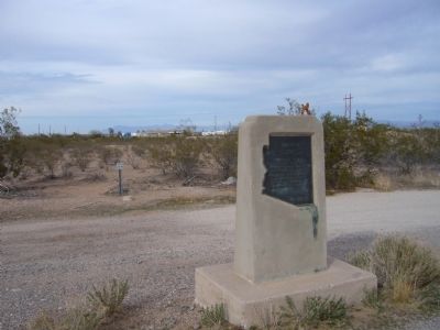
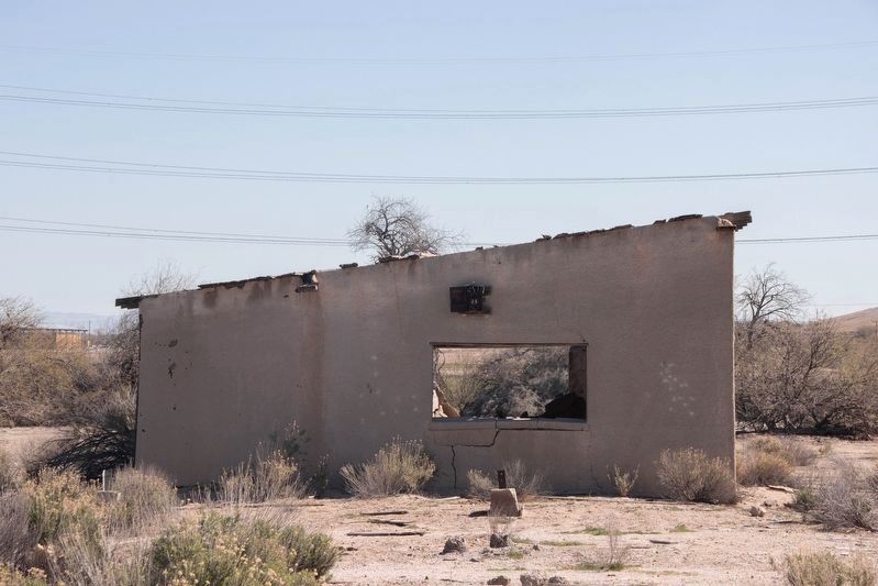
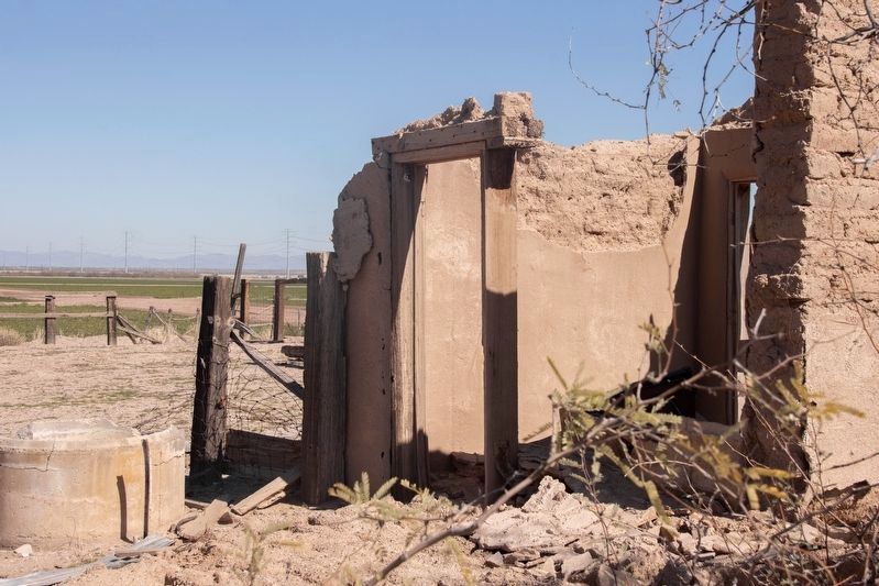
Ghost Town of Adamsville
Erected 1965 by Arizona Development Board, Arizona Highway Department.
Topics. This historical marker is listed in this topic list: Settlements & Settlers.
Location. 33° 0.32′ N, 111° 26.671′ W. Marker is near Florence, Arizona, in Pinal County. Marker is at the intersection of Florence-Coolidge Highway (State Highway 287) and East Adamsville Road, on the right when traveling west on Florence-Coolidge Highway. Touch for map. Marker is in this post office area: Florence AZ 85132, United States of America. Touch for directions.
Other nearby markers. At least 8 other markers are within 4 miles of this marker, measured as the crow flies. Granville H. Oury (approx. 2˝ miles away); George-Brockway House (approx. 3˝ miles away); Florence High School (approx. 3˝ miles away); Tom Mix & Tony, Jr. (approx. 3.6 miles away); Truman – Randell House (approx. 3.6 miles away); C.D. Henry House (approx. 3.6 miles away); Harvey-Niemeyer House (approx. 3.7 miles away); Elmer Coker House (approx. 3.7 miles away). Touch for a list and map of all markers in Florence.
Also see . . . Adamsville. Adamsville was a farming town founded in the 1870 by Fred Adams. (Submitted on January 26, 2010.)
Credits. This page was last revised on March 1, 2022. It was originally submitted on January 23, 2010, by Bill Kirchner of Tucson, Arizona. This page has been viewed 1,928 times since then and 127 times this year. Photos: 1, 2. submitted on January 23, 2010, by Bill Kirchner of Tucson, Arizona. 3, 4. submitted on February 26, 2022, by Nancy Martineau of San Tan Valley, Arizona. 5. submitted on January 23, 2010, by Bill Kirchner of Tucson, Arizona. • Syd Whittle was the editor who published this page.
