Near Center in Shelby County, Texas — The American South (West South Central)
Excelsior Common School No. 47
Photographed by James Hulse, March 15, 2025
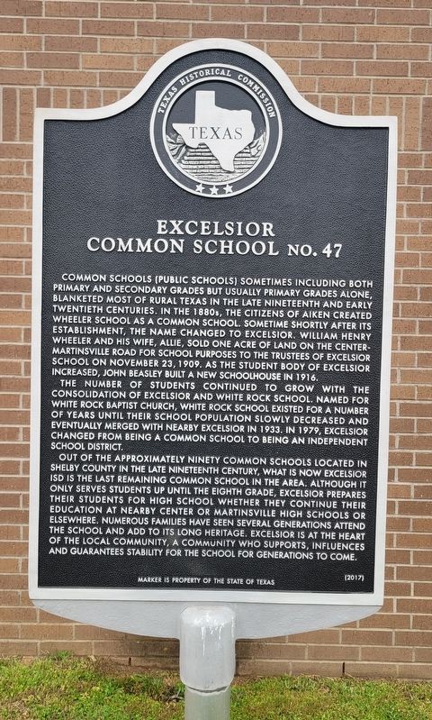
1. Excelsior Common School No. 47 Marker
The number of students continued to grow with the consolidation of Excelsior and White Rock School. Named for White Rock Baptist Church, White Rock School existed for a number of years until their school population slowly decreased and eventually merged with nearby Excelsior in 1933. In 1979, Excelsior changed from being a common school to being an Independent School District.
Out of the approximately ninety common schools located in Shelby County in the late nineteenth century, what is now Excelsior ISD is the last remaining common school in the area. Although it only serves students up until the eighth grade, Excelsior prepares their students for high school whether they continue their education at nearby Center or Martinsville High Schools or elsewhere. Numerous families have seen several generations attend the school and add to its long heritage. Excelsior is at the heart of the local community, a community who supports, influences and guarantees stability for the school for generations to come.
Erected 2017 by Texas Historical Commission. (Marker Number 18703.)
Topics. This historical marker is listed in this topic list: Education. A significant historical date for this entry is November 23, 1909.
Location. 31° 41.297′ N,
this page online

Regionally, this marker is in the American South, specifically in the Deep South, and in the Piney Woods. Globally, it is in North America, a Gulf of Mexico state, the Western Hemisphere, the Western World, and the Anglosphere. Historically, it finds itself in what was once New Spain, the Republic of Texas, one of the Confederate States of America, and the Antebellum South.
Other nearby markers. At least 8 other markers are within 12 miles of this marker, measured as the crow flies: Milton Irish (approx. 9.8 miles away); John Balch (approx. 9.9 miles away); Cove Springs Cemetery (approx. 9.9 miles away); Mull Cemetery (approx. 10.8 miles away); Kings Highway Camino Real — Old San Antonio Road (approx. 11.6 miles away); Poultry Pioneers Plaza (approx. 11.7
Photographed by James Hulse, March 15, 2025
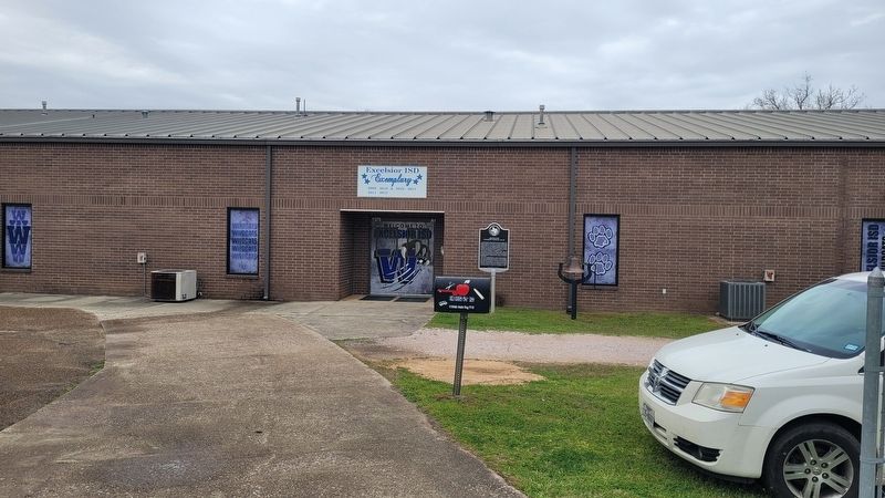
2. Excelsior Common School No. 47 Marker

Photographed by James Hulse
3. The view of the marker along the street
Credits. This page was last revised on March 19, 2025. It was originally submitted on March 17, 2025, by James Hulse of Medina, Texas. This page has been viewed 248 times since then and 23 times this year. Photos: 1, 2, 3. submitted on March 17, 2025, by James Hulse of Medina, Texas.
