Near Carthage in Panola County, Texas — The American South (West South Central)
Cedar Grove Baptist Church
Photographed by James Hulse, March 15, 2025
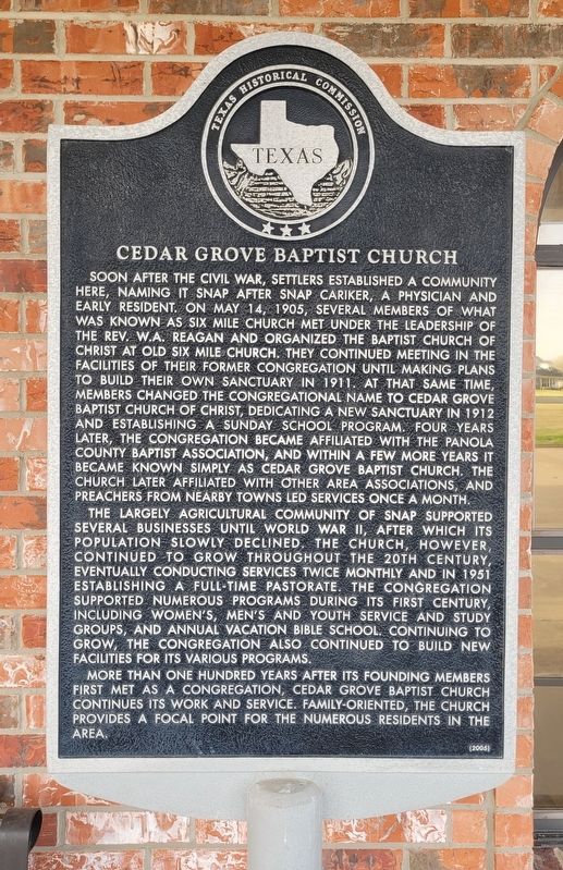
1. Cedar Grove Baptist Church Marker
The largely agricultural community of Snap supported several businesses until World War II, after which its population slowly declined. The church, however continued to grow throughout the 20th century, eventually conducting services twice monthly and in 1951 establishing a full-time pastorate. The congregation supported numerous programs during its first century, including women's, men's and youth service and study groups, and annual Vacation Bible School. Continuing to grow, the congregation also continued to build new facilities for its various programs.
More than one hundred years after its founding members first met as a congregation, Cedar Grove Baptist Church continues its work and service. Family-oriented, the church provides a focal point for the numerous residents in the area.
Erected 2004 by Texas Historical Commission. (Marker Number 13273.)
Topics. This historical marker is listed
this page online
Location. 32° 6.247′ N, 94° 24.637′ W. Marker is near Carthage, Texas, in Panola County. It is at the intersection of County Road 108 and County Road 106, on the right when traveling west on County Road 108. The marker is located at the front of the church. Touch for map. Marker is at or near this postal address: 1050 CR 108, Carthage TX 75633, United States of America. Touch for directions.

Regionally, this marker is in the American South, specifically in the Deep South, and in the Piney Woods. Globally, it is in North America, a Gulf of Mexico state, the Western Hemisphere, the Western World, and the Anglosphere. Historically, it finds itself in what was once New Spain, the Republic of Texas, one of the Confederate States of America, and the Antebellum South.
Other nearby markers. At least 8 other markers are within 6 miles of this marker, measured as the crow flies: Old Bethel Baptist Church History (approx. 2.9 miles away); Church Bethel (approx. 4.2 miles away); Holland Quarters Cemetery (approx. 4.6 miles away); Joseph Benedict Beauchamp
Photographed by James Hulse, March 15, 2025
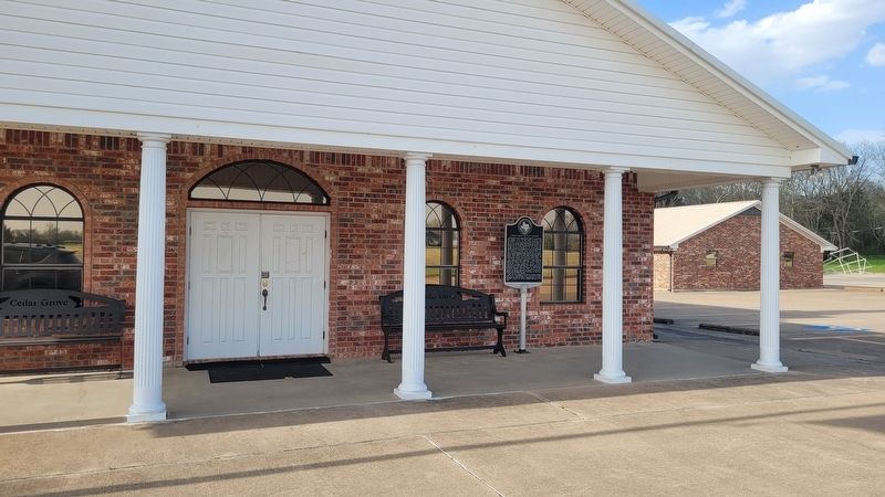
2. The entrance to the Cedar Grove Baptist Church and Marker
Photographed by James Hulse, March 15, 2025
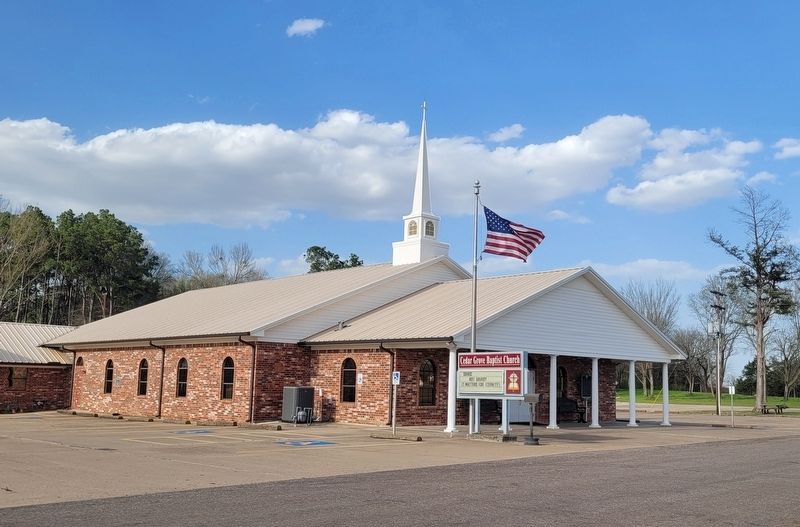
3. The Cedar Grove Baptist Church
Credits. This page was last revised on March 20, 2025. It was originally submitted on March 20, 2025, by James Hulse of Medina, Texas. This page has been viewed 206 times since then and 21 times this year. Photos: 1, 2, 3. submitted on March 20, 2025, by James Hulse of Medina, Texas.
