Amsterdam-Noord , North Holland, Netherlands — Northwestern Europe
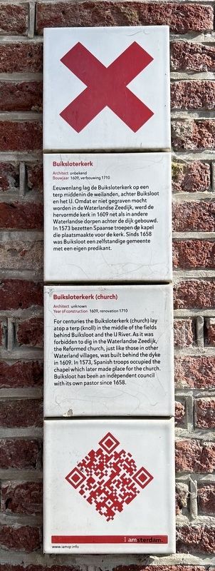
Buiksloterkerk (church)
Photographed by Andrew Ruppenstein, March 20, 2025
1. Buiksloterkerk (church) Marker
Note that the QR code on the marker does not work.

Architect onbekend
Bouwjaar 1609, verbouwing 1710
Eeuwenlang lag de Buiksloterkerk op een terp middenin de weilanden, achter Buiksloot en het IJ. Omdat er niet gegraven mocht worden in de Waterlandse Zeedijk, werd de hervormde kerk in 1609 net als in andere Waterlandse dorpen achter de dijk gebouwd. In 1573 bezetten Spaanse troepen de kapel die plaatsmaakte voor de kerk. Sinds 1658 was Buiksloot een zelfstandige gemeente met een eigen predikant.
Architect unknown
Year of construction 1609, renovation 1710
For centuries the Buiksloterkerk (church) lay atop a terp (knoll) in the middle of the fields behind Buiksloot and the IJ River. As it was forbidden to dig in the Waterlandse Zeedijk, the Reformed church, just like those in other Waterland villages, was built behind the dyke in 1609. In 1573, Spanish troops occupied the chapel which later made place for the church. Buiksloot has been an independent council with its own pastor since 1658.
Erected by IAmsterdam.
Topics and series. This historical marker is listed in this topic list: Religion & Religious Structures. In addition, it is included in the IAmsterdam series list. A significant historical year for this entry is 1609.
Location. 52° 24.11′ N, 4° 54.964′ E. Marker is in Amsterdam, Noord-Holland (North Holland). It is in Amsterdam-Noord. It is on Buiksloterkerkpad. Touch for map. Marker is at or near this postal address: Buiksloterkerkpad 10, Amsterdam, Noord-Holland 1034 VZ, Netherlands. Touch for directions.

Regionally, it is in Europe, the European Union, Atlantic Europe, the Benelux Low Countries, the Schengen Area, Western Europe, and the Western World. Historically, it finds itself in what was once the Holy Roman Empire.
Other nearby markers. At least 8 other markers are within 2 kilometers of this marker, measured as the crow flies: Buiksloterkerk (here, next to this marker); Krijtmolen d’Admiraal (chalk mill) (approx. half a kilometer away);
this page online
Also see . . . Buiksloterkerk (Wikipedia, in Dutch). (Submitted on March 20, 2025.)
Photographed by Andrew Ruppenstein, March 20, 2025
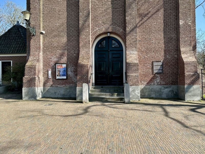
2. Buiksloterkerk (church) Marker - wide view
The marker is visible here to the left of the church entrance.
Photographed by Andrew Ruppenstein, March 20, 2025
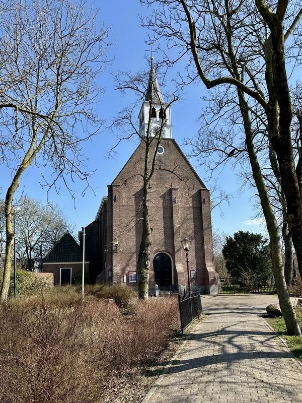
3. Buiksloterkerk - view from the west
Photographed by Andrew Ruppenstein, March 20, 2025
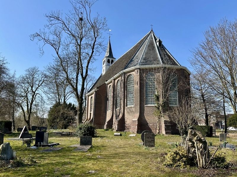
4. Buiksloterkerk - rear of church
Photographed by Andrew Ruppenstein, March 20, 2025
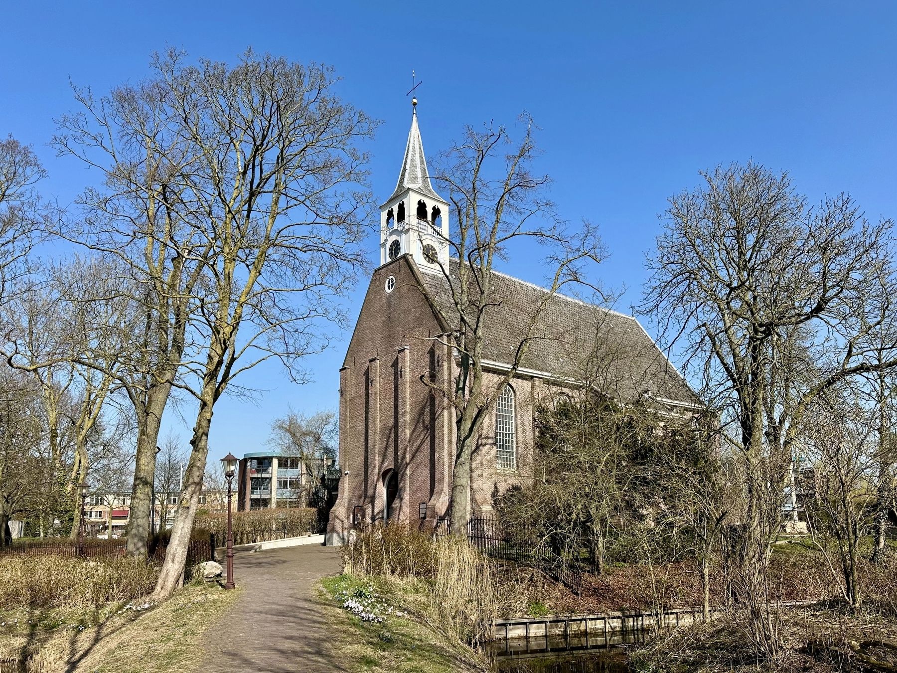
5. Buiksloterkerk - view from southwest
The Buiksloterkerk is the (former) village church of the dike village of Buiksloot in Amsterdam-Noord. The church dates from 1609. No church services have been held there since 1984. The monument has been maintained by the Buiksloterkerk Foundation since 1995. The building is used as a theatre and concert hall and is rented out for weddings and other events. The building was restored in 1840, 1965 and 1995. - Wikipedia (in translation)
Credits. This page was last revised on March 20, 2025. It was originally submitted on March 20, 2025, by Andrew Ruppenstein of Lamorinda, California. This page has been viewed 104 times since then and 20 times this year. Photos: 1, 2, 3, 4, 5. submitted on March 20, 2025, by Andrew Ruppenstein of Lamorinda, California.
