Gloucester Point in Gloucester County, Virginia — The American South (Mid-Atlantic)
The British Safety Valve
An Attempted Escape from Gloucester Point
Photographed by Bernard Fisher, May 2, 2009
1. The British Safety Valve Marker
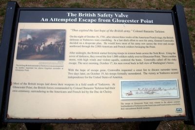
On the night of October 16, 1781, after almost three weeks of the American-French siege, the British defenses at Yorktown were crumbling. In a last ditch effort to save his army, General Cornwallis decided on a desperate plan. He would have most of his army row across the river and escape northward through the 2,900 American and French soldiers besieging the Point.
After midnight, the British started ferrying troops in sixteen boats across the York River. Using the cover of darkness, they rowed the first 1,000 soldiers safely over to Gloucester Point. Then a sudden storm, with high winds and violent squalls, scattered the boats. Cornwallis called off his risky escape. The next morning, October 17, his men rowed back in full view of Washington’s forces.
With the hope of escape gone, Cornwallis requested a cease fire to discuss surrender terms. Two days later, on October 19, his troops formally surrendered. The victory at Yorktown secured independence for the United States of America.
Most of the British troops laid down their weapons
this page online
Erected by Chesapeake Bay Gateways Network.
Topics. This historical marker is listed in this topic list: War, US Revolutionary. A significant historical date for this entry is October 16, 1781.
Location. 37° 14.99′ N, 76° 30.137′ W. Marker is in Gloucester Point, Virginia, in Gloucester County. It can be reached from Vernon Street near Riverview Street. The marker is on the Tyndall’s Point Park Walkway. Touch for map. Marker is at or near this postal address: 1376 Vernon Street, Gloucester Point VA 23062, United States of America. Touch for directions.

Regionally, this marker is on the Middle Peninsula and in the Hampton Roads Metropolitan Area. It is also in the American South, specifically in the Upper South, in the Tidewater, in the Chesapeake Bay Region, and on the Eastern Seaboard. Globally, it is in the North Atlantic Region, North America, the Western Hemisphere, the Western World, and the Anglosphere. Historically, it finds
Photographed by Bernard Fisher, May 2, 2009
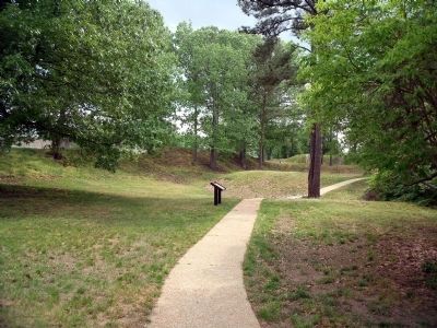
2. Tyndall’s Point Park Walkway.
Other nearby markers. At least 8 other markers are within walking distance of this marker: A Vital British Outpost at Gloucester Point (here, next to this marker); Parts of a Parrott Rifle (here, next to this marker); On to Richmond! (within shouting distance of this marker); Natives, Explorers, Tobacco and Buccaneers (within shouting distance of this marker); Classic Camp Life (within shouting distance of this marker); Still Defending Virginia’s Shores (within shouting distance of this marker); Gloucester Point (within shouting distance of this marker); Attacking with “Decisive Vigor” (within shouting distance of this marker). Touch for a list and map of all markers in Gloucester Point.
More about this marker. On the upper left is a painting by John Trumbull entitled "The Surrender of Lord Cornwallis at Yorktown, 19 October 1781" Courtesy of the Yale University Art Gallery Trumball Collection. The caption reads, "The striking British surrender at Yorktown
Photographed by Bernard Fisher, May 2, 2009
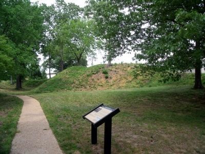
3. Tyndall’s Point Park Walkway.
On the lower right is an illustration with the caption, "The troops at Gloucester Point were witness to the almost constant bombardment of Yorktown as the Americans and French tried to overwhelm their outnumbered British enemies." Courtesy of the Colonial Williamsburg Foundation
Photographed by Bradley Owen, October 18, 2021
4. The British Safety Valve Marker
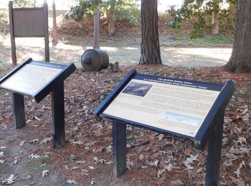
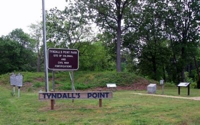
Seen on the right, the marker has been relocated to near the “Parts of a Parrott Rifle” marker.
Photographed by Bernard Fisher, May 2, 2009
5. Tyndall’s Point Park Entrance.
Article in the Bath Chronicle, Somerset, England, August 15, 1782
6. Escape from Yorktown
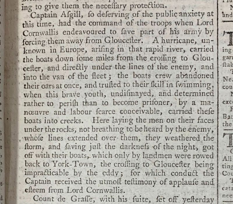
Captain Asgill, so deserving of the public anxiety at
this time, had the command of the troops when Lord
Cornwallis endeavoured to save part of his army by
forcing them away from Glouceister. A hurricane, unknown
in Europe, arising in that rapid river, carried
the boats down some miles from the crossing to Glouceister,
and directly under the lines of the enemy, and
into the van of the fleet ; the boats crew abandoned
their oars at once, and trusted to their skill in swimming,
when this brave youth, undismayed, and determined
rather to perish than to become prisoner, by a
manœuvre and labour scarce conceivable, carried these
boats into creeks. Here laying the men on their faces
under the rocks, not breathing to be heard by the enemy,
whole lines extended over them, they weathered the
storm, and having just the darkness of the night, got
off with their boats, which only by landmen were rowed
back to York-Town, the crossing to Glouceister being
impracticable by the eddy ; for which conduct the
Captain received the utmost testimony of applause and
esteem from Lord Cornwallis.
Credits. This page was last revised on March 21, 2025. It was originally submitted on May 7, 2009, by Bernard Fisher of Richmond, Virginia. This page has been viewed 1,304 times since then and 32 times this year. Last updated on March 20, 2025, by Evan Dwyer of Richmond, Virginia. Photos: 1, 2, 3. submitted on May 7, 2009, by Bernard Fisher of Richmond, Virginia. 4. submitted on November 4, 2021, by Bradley Owen of Morgantown, West Virginia. 5. submitted on May 7, 2009, by Bernard Fisher of Richmond, Virginia. 6. submitted on November 19, 2021, by Anne C. Ammundsen of Kent, UK.
