Cheraw in Chesterfield County, South Carolina — The American South (South Atlantic)
Long High School Site
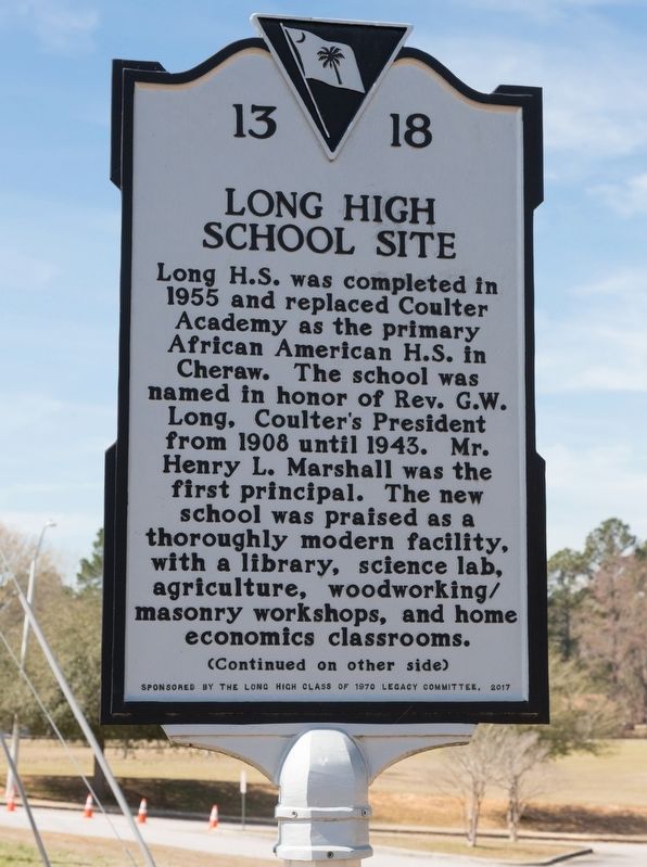
Photographed by J. J. Prats, March 19, 2025
1. Long High School Site Marker, Side One
Long High played an integral role in the African American Community by providing cultural events and serving as a venue for strategic political planning during the 1960s. It would remain segregated by race from its opening until Chesterfield County complied with federal desegregation requirements in 1970. The last class graduated in 1970 with Mr. Otis L. Ford serving as the principal. The original school was razed in 1999.
Erected 2017 by Department of Archives and History. Sponsored by the Long High Class of 1970. (Marker Number 13-18.)
Topics. This historical marker is listed in these topic lists: African Americans • Education. A significant historical year for this entry is 1955.
Location. 34° 41.832′ N,
this page online

Regionally, this marker is in South Carolina’s Pee Dee and in the Olde English District. It is also in the American South and specifically in the Deep South. Globally, it is in North America, the Western Hemisphere, the Western World, and the Anglosphere. Historically, it finds itself in what was once the territory of the Mississippian Culture, one of the original Thirteen Colonies, one of the Confederate States of America, and the Antebellum South.
Other nearby markers. At least 8 other markers are within 2 miles of this marker, measured as the crow flies: Dizzy Gillespie Birthplace (approx. 0.7 miles away); Lafayette’s Tour (approx. one mile away); Coulter Memorial Academy Site (approx. 1.1 miles away); Robert Smalls School (approx. 1.2 miles away); Francis Asbury's First Visit to S.C. (approx. 1.4

Photographed by J. J. Prats, March 19, 2025
2. Long High School Site Marker, Side Two
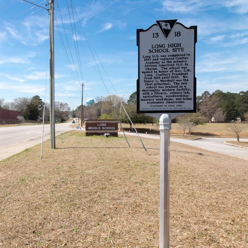
Photographed by J. J. Prats, March 19, 2025
3. Long High School Site Marker
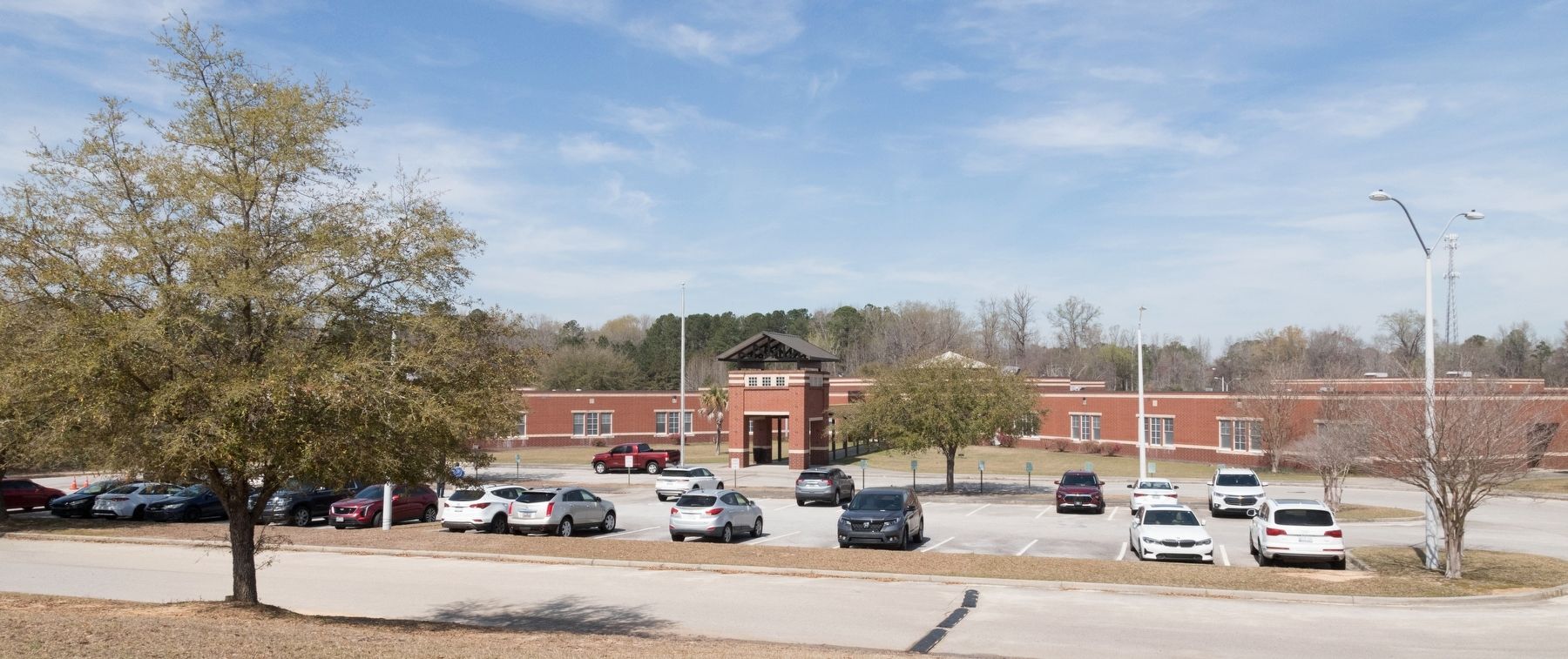
Photographed by J. J. Prats, March 19, 2025
4. Long Middle School Today
Credits. This page was last revised on March 23, 2025. It was originally submitted on March 23, 2025, by J. J. Prats of Powell, Ohio. This page has been viewed 246 times since then and 77 times this year. Photos: 1, 2, 3, 4. submitted on March 23, 2025, by J. J. Prats of Powell, Ohio.
